

Rancho Sedona RV Park
Hiking business nearby (~8 mi away) — hasn't claimed their Roamze page yet
Free — you'll pick up right here.
Watch this trail
Sign up to watch it — saving subscribes you to gate, closure and report changes.
Arizona
2.9 mi
Distance
67 ft
Gain
1h
Time
We won't guess. Here is exactly what we do and don't know.
What we do know
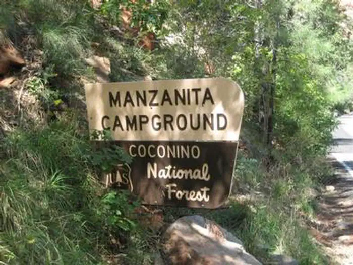
Inside Coconino National Forest
2 managing-area boundaries mapped — agency alerts for them feed this page automatically.
Boundary data
What's missing
No access route mapped
We don't yet know which road reaches this trailhead, so we can't tell you if it's gated.
Nobody's filed a report here yet — be the first.
Why you'll love it
Frog Tank Loop
AI-suggested draft · review before you go
No permit or access details on file for this trail — check with the local land manager before you go.
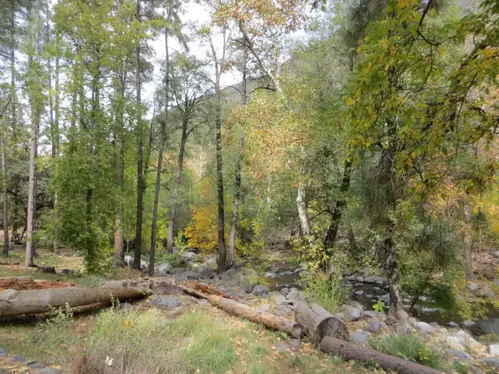
Frog Tank Loop is a 2.9-mile loop trail located near Arizona. This easy route features minimal elevation gain of just 67 feet, making it accessible for hikers of varying skill levels. The loop format allows hikers to return to their starting point without backtracking, providing a convenient and efficient hiking experience. The trail's short distance and low elevation change make it suitable for families, beginners, or those seeking a quick outdoor outing. The relatively flat terrain minimizes physical strain while still offering time in nature. Frog Tank Loop is ideal for hikers looking to spend an hour or two on the trail without significant exertion. The loop configuration and modest mileage combine to create a manageable hiking option in the Arizona area.
Interstate
~1 min drive
21 mi · Hard
Geronimo
~2 min drive
2.7 mi · Easy
Munds Canyon Trail
~3 min drive
4.5 mi · Moderate
Rocky Road
~2 min drive
An easy 9.19-mile out-and-back trail in Arizona with a rocky surface, part of the Munds Park Trail System.
Brads
~2 min drive
2.0 mi · Easy
Thompson Ladder
~6 min drive
4.5 mi · Moderate
Crystal Point
~5 min drive
6.4 mi · Hard
Mud Tank
~2 min drive
1.7 mi · Easy
Hangover #78C
~10 min drive
6.9 mi · Moderate
Leap Frog
~6 min drive
A 19.17-mile out-and-back Arizona trail connected to Frog Tank Loop and Rocky Road trails, ideal for a full day of hiking.
Local operatorsoffering guided trips. You book directly with them — Roamze doesn’t take a cut.
Rancho Sedona RV Park
Hiking business nearby (~8 mi away) — hasn't claimed their Roamze page yet
Canyon Outfitters Sedona
Hiking business nearby (~10 mi away) — hasn't claimed their Roamze page yet
Camp Avalon Spiritual Nature Retreat
Hiking business nearby (~13 mi away) — hasn't claimed their Roamze page yet