Manzanita.
Campground
Sites open the weekend of Dec 4 on Recreation.gov
Alert in the area
The Forest Service lists 5 alerts for Coconino National Forest.
West Fork Temporary Area Closure - Extension to 2/27/27
Agency alert covering Coconino National Forest · Order 03-04-00-26-09 · USFS · Coconino National Forest
Temporary Closure for West Wing Pile Burn
Agency alert covering Flagstaff Ranger District · Order 03-04-08-26-08 · USFS · Flagstaff Ranger District
Newman Park Pile Burn
Agency alert covering Flagstaff Ranger District · USFS · Flagstaff Ranger District
Kachina Village and Pumphouse Wash Camping and Campfire Restrictions
Agency alert covering Flagstaff Ranger District · Order 03-04-08-25-02 · USFS · Flagstaff Ranger District
Flagstaff-area camping and campfire restrictions in effect year-round
Agency alert covering Flagstaff Ranger District · Order 03-04-08-25-01 · USFS · Flagstaff Ranger District
As of · Source: USFS · Coconino National Forest. Agencies don't list every closure — check before you go.
Willard is a hard hike in the Flagstaff Ranger District of Coconino National Forest in Arizona, on Forest Service land. It is an out-and-back route of about 9.7 miles, with a one-way elevation gain of 353 feet, from a low point of 6,523 feet to a high of 6,813 feet. The trail surface is natural, and the parking area is named Janice. The most comfortable months for a visit are typically late spring and early fall. Typical averages from a nearby weather station at Mund's Park, about 1.5 miles away, run to highs around 69°F in May and 76°F in September. Midsummer brings more frequent wet days, and winter highs sit in the mid-40s. Several other outings lie close by. Frog Tank Loop is about 0.1 mile away, and the Janice Place mountain biking route is about 0.3 mile away. Interstate is another hike about 0.4 mile off. For an overnight stay, Manzanita campground is about 4.8 miles away.
Manzanita.
Campground
Places © OpenStreetMap contributors
More in Kachina VillageNot on Roamze yet. Their page has how to reach them.
Best months: May–July and September. Best months have typical highs of 55–85 °F, lows of 30 °F or warmer (32 °F where the station doesn't record snow), at most one snowy day and no more than 12 wet days.
Jan
46° / 17°
7 wet
Feb
47° / 19°
7 wet
Mar
53° / 23°
7 wet
Apr
60° / 27°
4 wet
May
69° / 34°
3 wet
Jun
79° / 40°
3 wet
Jul
83° / 49°
9 wet
Aug
81° / 50°
13 wet
Sep
76° / 41°
8 wet
Oct
66° / 31°
5 wet
Nov
54° / 22°
5 wet
Dec
46° / 16°
7 wet
Typical high / low (°F) and days with rain or snow, 1991–2020. Measured at Mund'S Park, AZ, 1.5 mi away at 6,470 ft. This station doesn't record snowfall. Source: NOAA NCEI U.S. Climate Normals 1991–2020.
 Photo: inkknife_2000 (7.5 million views +), CC BY-SA 2.0 (via Wikimedia Commons)
Thompson Ladder
~6 min drive
4.50-mile out-and-back trail in Arizona with 753 ft gain.
 Photo: inkknife_2000 (7.5 million views +), CC BY-SA 2.0 (via Wikimedia Commons)
Casner Canyon
~8 min drive
Casner Canyon is a 2.61-mile out-and-back trail in Arizona with 534 feet of elevation gain.
 Photo: Klaus Eltrop, CC BY-SA 3.0 (via Wikimedia Commons)
Casner Canyon #11
~8 min drive
5.15-mile out-and-back trail in Arizona with 11 ft of elevation gain.
 Photo: InSapphoWeTrust from Los Angeles, California, USA, CC BY-SA 2.0 (via Wikimedia Commons)
Wilson Mountain #10
~10 min drive
10.84-mile out-and-back trail in Arizona with 2,198 ft elevation gain.
 Photo: inkknife_2000 (7.5 million views +), CC BY-SA 2.0 (via Wikimedia Commons)
Telephone Trail #72
~9 min drive
2.16-mile out-and-back trail in Arizona with 1,032 ft gain.
 Photo: inkknife_2000 (7.5 million views +), CC BY-SA 2.0 (via Wikimedia Commons)
North Wilson #123
~8 min drive
4.14-mile out-and-back trail in Arizona with 1,563 ft of elevation gain.
 Photo: Coconino NF Photography, Public Domain Mark (via Flickr)
Thomas Point Trail #142
~9 min drive
2.14-mile out-and-back trail in Arizona with 315 ft gain.
Photo: inkknife_2000 (7.5 million views +), CC BY-SA 2.0 (via Wikimedia Commons)Telephone
~9 min drive
1.74-mile out-and-back trail in Arizona with 1,075 ft elevation gain.
HIKE
Interstate
Next door
21.19-mile out-and-back trail in Arizona with 436 ft elevation gain.
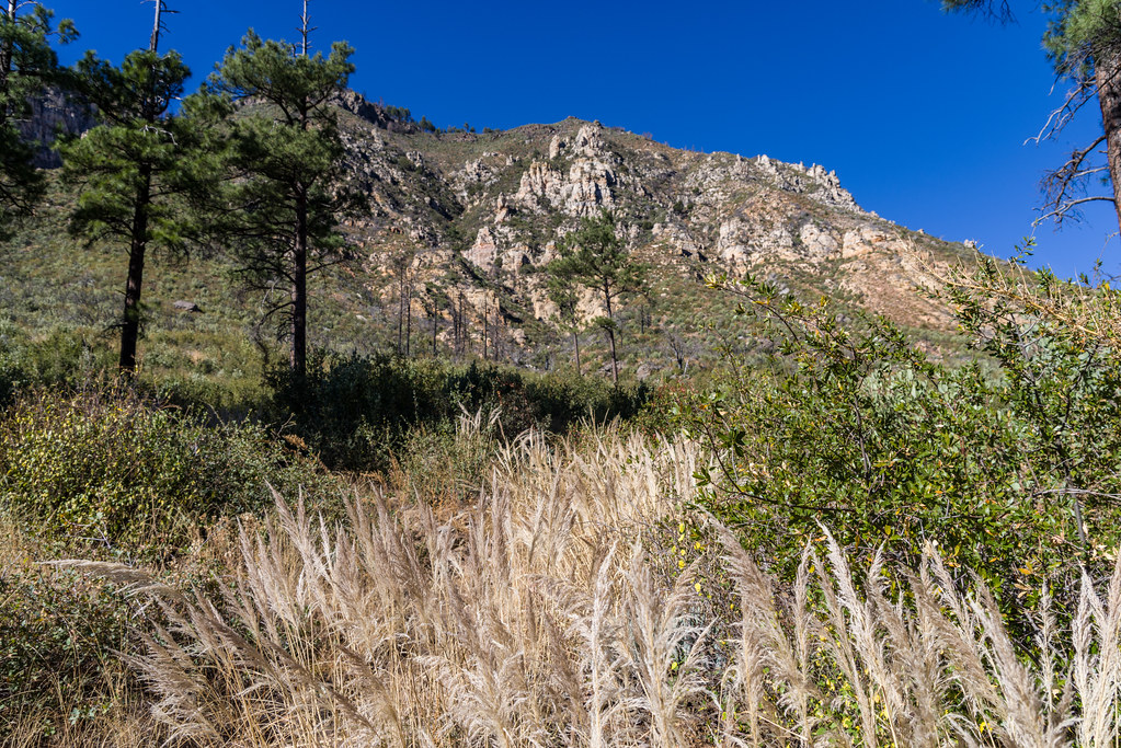 Photo: Coconino NF Photography, Public Domain Dedication (CC0) (via Flickr)
Purtyman #65
~9 min drive
1.08-mile out-and-back trail in Arizona with 781 ft elevation gain.
Also worth it near here
 Photo: inkknife_2000 (7.5 million views +), CC BY-SA 2.0 (via Wikimedia Commons)
Janice Place
Next door
 Photo: Annemari Romero; Coconino National Forest, CC BY-SA 2.0 (via Wikimedia Commons)
The Right Wall
~8 min drive
 Photo: Clyde Charles Brown, CC BY-SA 4.0 (via Wikimedia Commons)
Schnebly Hill
~8 min drive
BED
Manzanita.
~8 min drive
