Campground East
Campground
Campground · 4.6 mi from the trail
Alert in the area
The Forest Service lists 5 alerts for Tonto National Forest.
Rattlesnake Cove Developed Recreation Site - Post Flood Recovery and Public Safety Closure
Agency alert covering Tonto National Forest · Order 3-12-01-26-36 · USFS · Tonto National Forest
Canyon Lake Drawdown Public Safety Closure
Agency alert covering Tonto National Forest · Order 03-12-00-26-22 · USFS · Tonto National Forest
No Fire Restrictions
Agency alert covering Tonto National Forest · USFS · Tonto National Forest
Lower Salt River Seasonal Bald Eagle Closures
Agency alert covering Mesa Ranger District · Order 03-12-03-24-65 · USFS · Mesa Ranger District
Roosevelt Lake Seasonal Wildlife Closure
Agency alert covering Tonto National Forest · Order 12-16-5 · USFS · Tonto National Forest
As of · Source: USFS · Tonto National Forest. Agencies don't list every closure — check before you go.
Bluff Spring Trail #235 is a 6.6-mile out-and-back hike in Arizona's Superstition Wilderness, within the Mesa Ranger District of Tonto National Forest. The Forest Service manages the land, and the trail rises from a low point of 2,425 feet to a high of 3,206 feet, with a total elevation gain of 442 feet. The route is rated moderate. Spring and fall are the most comfortable times to go. Typical averages from a nearby weather station in Superior, Arizona, show March highs around 72°F and November highs around 72°F, while July averages near 99°F. The trail starts at the Peralta TH parking area. Terrapin Trail #234 lies about a mile away, and the Whiskey hike is roughly a mile off. Climbers can find Barks Canyon Wall and Wild Horse Wall about 1.2 miles away. Tortilla Campground, about 8 miles from the trail, offers a place to stay overnight.
Campground East
Campground
Queen Valley Country Club Bar & Grill
Bar
Trails End
Attraction
Places © OpenStreetMap contributors
More in SuperiorNot on Roamze yet. Their page has how to reach them.
 Terrapin Trail #234HikingPhoto: HockeyholicAZ, CC BY 2.0 (via Flickr)0.9 mi
 Barks Canyon WallRock climbingPhoto: David Taylor from Coeur d Alene, United States, CC BY 2.0 (via Wikimedia Commons)1.2 mi
 Wild Horse WallRock climbingPhoto: David Taylor from Coeur d Alene, United States, CC BY 2.0 (via Wikimedia Commons)1.2 miMyth WallRock climbingPhoto: David Taylor from Coeur d Alene, United States, CC BY 2.0 (via Wikimedia Commons)1.2 mi
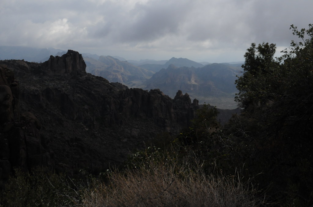 Cave Trail #233HikingPhoto: HockeyholicAZ, CC BY 2.0 (via Flickr)1.4 mi
Source: Roamze catalog (indexable pages within 10 miles, PostGIS distance)
Cave Trail #233Hiking · ~2 min drivePhoto: HockeyholicAZ, CC BY 2.0 (via Flickr)Peralta Trail #102Hiking · ~3 min drivePhoto: HockeyholicAZ, CC BY 2.0 (via Flickr) Wave Cave TrailHiking · ~5 min drivePhoto: lamblukas, CC BY 2.0 (via Flickr)
 Superstition Ridgeline TrailHiking · ~12 min drivePhoto: The3dStudioDotCom, CC BY-SA 3.0 (via Wikimedia Commons)
 Bull Pass TrailHiking · ~6 min drivePhoto: deborah.soltesz, Public Domain Dedication (CC0) (via Flickr)
 Lost Goldmine TrailHiking · ~10 min drivePhoto: lamblukas, CC BY 2.0 (via Flickr)
 Carney Springs TrailHiking · ~5 min drivePhoto: lamblukas, CC BY 2.0 (via Flickr)Old Horse TrailHiking · ~10 min drivePhoto: lamblukas, CC BY 2.0 (via Flickr)
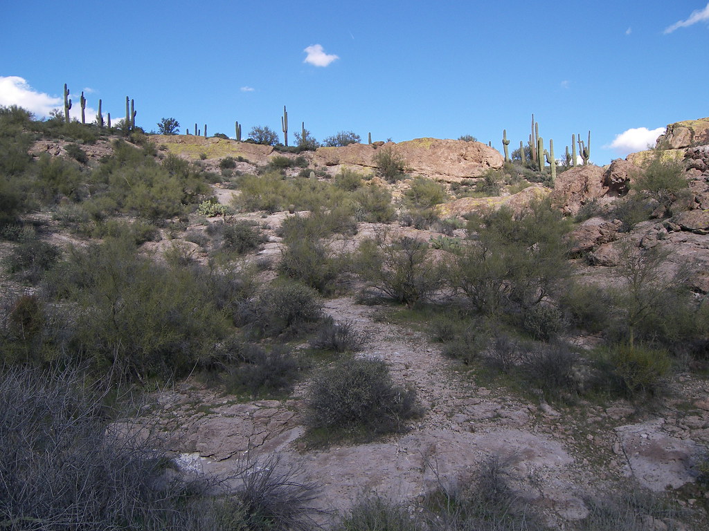 Grand Enchantment TrailHiking · ~13 min drivePhoto: deborah.soltesz, Public Domain Dedication (CC0) (via Flickr)
 Black Top Mesa TrailHiking · ~6 min drivePhoto: deborah.soltesz, Public Domain Dedication (CC0) (via Flickr)
Best months: October–April. Best months have typical highs of 55–85 °F, lows of 30 °F or warmer (32 °F where the station doesn't record snow), at most one snowy day and no more than 12 wet days.
Jan
62° / 44°
5 wet
Feb
65° / 46°
6 wet
Mar
72° / 49°
5 wet
Apr
78° / 55°
2 wet
May
87° / 64°
2 wet
Jun
97° / 73°
2 wet
Jul
99° / 77°
5 wet
Aug
97° / 76°
7 wet
Sep
93° / 72°
4 wet
Oct
84° / 63°
3 wet
Nov
72° / 52°
3 wet
Dec
62° / 44°
4 wet
Typical high / low (°F) and days with rain or snow, 1991–2020. Measured at Superior, AZ, 16.2 mi away at 2,860 ft. Source: NOAA NCEI U.S. Climate Normals 1991–2020.
Map and trail data © OpenStreetMap contributors
