Campground East
Campground
Campground · 2.6 mi from the trail
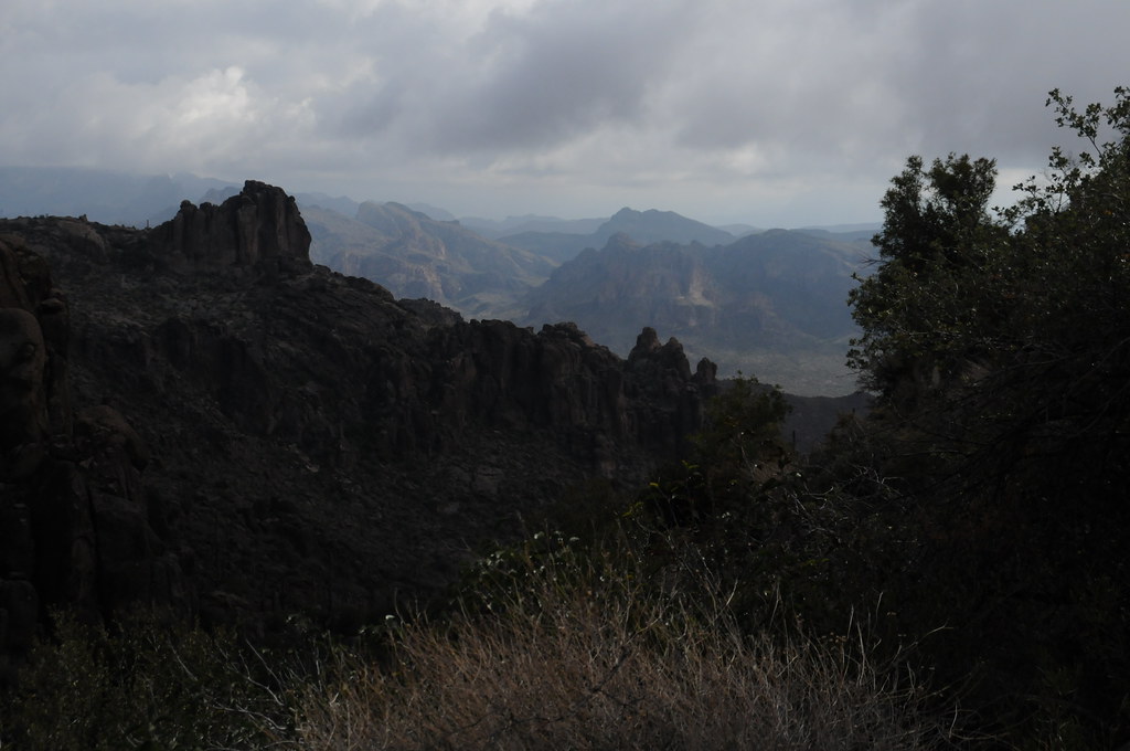 Photo: HockeyholicAZ, CC BY 2.0 (via Flickr)
Closure in the area
There's a closure order in Mesa Ranger District. It doesn't name Peralta Trail #102, so check the source for the area it covers.
Four Peaks Public Safety Closure Order
Agency closure covering Mesa Ranger District · Order 03-12-03-26-28 · USFS · Mesa Ranger District
Temporary Public Health and Safety Closure Granite Reef Recreation Site Area Closure
Agency alert covering Mesa Ranger District · Order 03-12-03-26-33 · USFS · Mesa Ranger District
Canyon Lake Drawdown Public Safety Closure
Agency alert covering Tonto National Forest · Order 03-12-00-26-22 · USFS · Tonto National Forest
No Fire Restrictions
Agency alert covering Tonto National Forest · USFS · Tonto National Forest
Lower Salt River Seasonal Bald Eagle Closures
Agency alert covering Mesa Ranger District · Order 03-12-03-24-65 · USFS · Mesa Ranger District
As of · Source: USFS · Mesa Ranger District. Agencies don't list every closure — check before you go.
Peralta Trail #102 is a 12.40-mile out-and-back trail in Arizona managed by the Forest Service with 1,164 feet of elevation gain.
Campground East
Campground
Trails End
Attraction
Places © OpenStreetMap contributors
More in SuperiorNot on Roamze yet. Their page has how to reach them.
Best months: October–April. Best months have typical highs of 55–85 °F, lows of 30 °F or warmer (32 °F where the station doesn't record snow), at most one snowy day and no more than 12 wet days.
Jan
62° / 44°
5 wet
Feb
65° / 46°
6 wet
Mar
72° / 49°
5 wet
Apr
78° / 55°
2 wet
May
87° / 64°
2 wet
Jun
97° / 73°
2 wet
Jul
99° / 77°
5 wet
Aug
97° / 76°
7 wet
Sep
93° / 72°
4 wet
Oct
84° / 63°
3 wet
Nov
72° / 52°
3 wet
Dec
62° / 44°
4 wet
Typical high / low (°F) and days with rain or snow, 1991–2020. Measured at Superior, AZ, 16 mi away at 2,860 ft. The station sits about 900 ft lower than this place, so expect it a little cooler here. Source: NOAA NCEI U.S. Climate Normals 1991–2020.
Photo: HockeyholicAZ, CC BY 2.0 (via Flickr)Cave Trail #233
Next door
3.63-mile out-and-back trail in Arizona with 834 ft gain.
 Photo: lamblukas, CC BY 2.0 (via Flickr)
Carney Springs Trail
~2 min drive
3.56-mile out-and-back hike in Arizona with 1,512 ft elevation gain
 Photo: lamblukas, CC BY 2.0 (via Flickr)
Lost Goldmine Trail
~8 min drive
11.78-mile out-and-back trail in Arizona with 1,407 ft elevation gain
 Photo: The3dStudioDotCom, CC BY-SA 3.0 (via Wikimedia Commons)
Superstition Ridgeline Trail
~11 min drive
13.34-mile out-and-back trail in Arizona with 5,247 ft elevation gain.
 Photo: HockeyholicAZ, CC BY 2.0 (via Flickr)
Terrapin Trail #234
~3 min drive
5.55-mile out-and-back trail in Arizona with 220 ft elevation gain.
 Photo: lamblukas, CC BY 2.0 (via Flickr)
Wave Cave Trail
~2 min drive
1.48-mile out-and-back hike in Arizona with 880 ft elevation gain
 Photo: CWanamaker, CC BY 3.0 (via Wikimedia Commons)
Jacob's Crosscut
~12 min drive
12.63-mile out-and-back trail in Arizona with 443 ft elevation gain.
Photo: lamblukas, CC BY 2.0 (via Flickr)Old Horse Trail
~8 min drive
1.8-mile out-and-back trail in Arizona with 74 ft elevation gain
 Photo: lamblukas, CC BY 2.0 (via Flickr)
Hieroglyphic Trail
~6 min drive
2.68-mile out-and-back hike in Arizona with 1,750 ft gain/loss
 Photo: The3dStudioDotCom, CC BY-SA 3.0 (via Wikimedia Commons)
Siphon Draw Trail
~13 min drive
2.26-mile out-and-back trail in Arizona with 2,325 ft gain and 4,697 ft max elevation.
Map and trail data © OpenStreetMap contributors

