Campground East
Campground
Campground · 2.2 mi from the trail
 Photo: lamblukas, CC BY 2.0 (via Flickr)
Clear at last check
Weather is good · OpenWeather · checked 13 h ago
Carney Springs Trail is a 3.6-mile out-and-back hike in Arizona, set on county land within a proposed open space area. The trail starts at about 2,205 feet and climbs to a high point of 3,665 feet, with a total elevation gain of 1,512 feet. The steepest stretch comes at about 1.3 miles in, where the grade reaches 43 percent, and the route is rated moderate. Spring and fall are the most comfortable times to go. Typical averages from a nearby weather station in Apache Junction show March highs around 77°F and November highs around 76°F, while summer highs there climb into the 100s. That station sits well below the trail, so temperatures on the higher ground run cooler. The hike takes about two hours. Wave Cave Trail lies just 0.2 miles away, and Carney Springs Wall, a climbing area, is about 0.9 miles off. Peralta Trail #102 and Nosepicker Pinnacles are both within about a mile and a half.
Campground East
Campground
Queen Valley Country Club Bar & Grill
Bar
Trails End
Attraction
Places © OpenStreetMap contributors
More in SuperiorNot on Roamze yet. Their page has how to reach them.
 Wave Cave TrailHikingPhoto: lamblukas, CC BY 2.0 (via Flickr)0.2 mi
 Carney Springs WallRock climbingPhoto: David Taylor from Coeur d Alene, United States, CC BY 2.0 (via Wikimedia Commons)0.9 mi
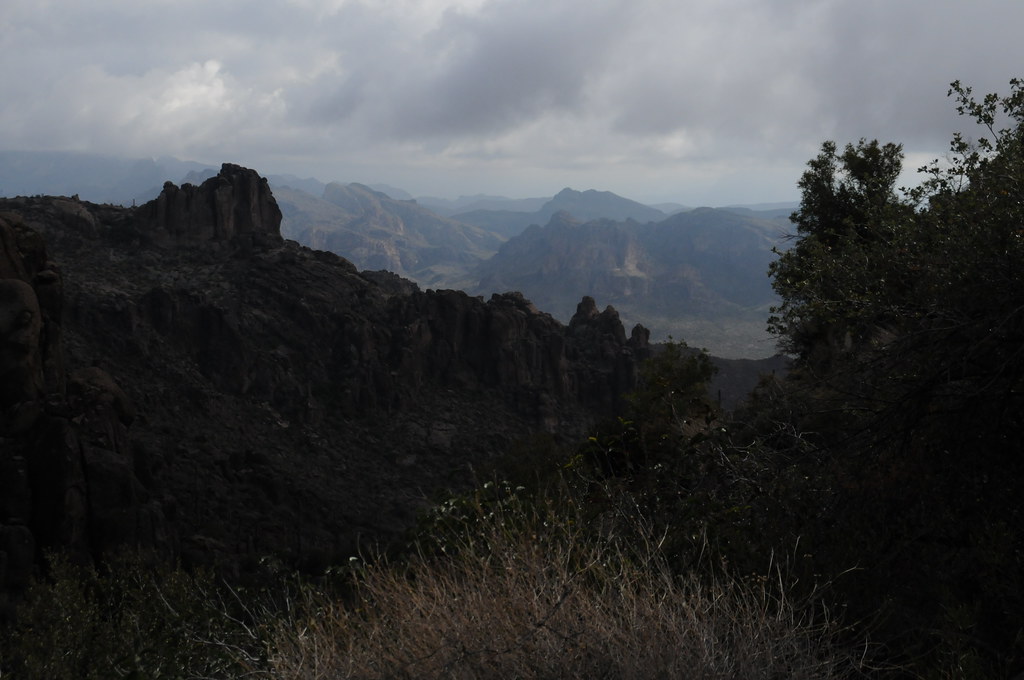 Peralta Trail #102HikingPhoto: HockeyholicAZ, CC BY 2.0 (via Flickr)1.2 mi
 Nosepicker PinnaclesRock climbingPhoto: David Taylor from Coeur d Alene, United States, CC BY 2.0 (via Wikimedia Commons)1.3 mi
 The FortressRock climbingPhoto: David Taylor from Coeur d Alene, United States, CC BY 2.0 (via Wikimedia Commons)1.4 miCave Trail #233HikingPhoto: HockeyholicAZ, CC BY 2.0 (via Flickr)1.5 mi
 The CemeteryRock climbingPhoto: Alan English CPA from Scottsdale, Arizona 85254, USA, CC BY-SA 2.0 (via Wikimedia Commons)1.6 mi
Source: Roamze catalog (indexable pages within 10 miles, PostGIS distance)
Wave Cave TrailHiking · Next doorPhoto: lamblukas, CC BY 2.0 (via Flickr)Peralta Trail #102Hiking · ~2 min drivePhoto: HockeyholicAZ, CC BY 2.0 (via Flickr)Cave Trail #233Hiking · ~3 min drivePhoto: HockeyholicAZ, CC BY 2.0 (via Flickr) Superstition Ridgeline TrailHiking · ~10 min drivePhoto: The3dStudioDotCom, CC BY-SA 3.0 (via Wikimedia Commons)
 Hieroglyphic TrailHiking · ~5 min drivePhoto: lamblukas, CC BY 2.0 (via Flickr)
 Lost Goldmine TrailHiking · ~6 min drivePhoto: lamblukas, CC BY 2.0 (via Flickr)
 Terrapin Trail #234Hiking · ~4 min drivePhoto: HockeyholicAZ, CC BY 2.0 (via Flickr)
 Hieroglyphics Trail #101Hiking · ~5 min drivePhoto: zzkt, CC BY-SA 2.0 (via Flickr)
 Jacob's CrosscutHiking · ~10 min drivePhoto: CWanamaker, CC BY 3.0 (via Wikimedia Commons)Old Horse TrailHiking · ~6 min drivePhoto: lamblukas, CC BY 2.0 (via Flickr)
Best months: November–April. Best months have typical highs of 55–85 °F, lows of 30 °F or warmer (32 °F where the station doesn't record snow), at most one snowy day and no more than 12 wet days.
Jan
67° / 43°
4 wet
Feb
70° / 44°
4 wet
Mar
77° / 48°
4 wet
Apr
85° / 53°
2 wet
May
93° / 60°
2 wet
Jun
103° / 69°
1 wet
Jul
105° / 77°
4 wet
Aug
104° / 76°
6 wet
Sep
99° / 71°
4 wet
Oct
88° / 60°
3 wet
Nov
76° / 50°
3 wet
Dec
66° / 42°
4 wet
Typical high / low (°F) and days with rain or snow, 1991–2020. Measured at Apache Junction 5 Ne, AZ, 8.1 mi away at 2,070 ft. The station sits about 1,600 ft lower than this place, so expect it a little cooler here. Source: NOAA NCEI U.S. Climate Normals 1991–2020.
Map and trail data © OpenStreetMap contributors
