Wildcat Knob
At a glance
Wildcat Knob is a summit in the Blue Ridge Ranger District of the Chattahoochee-Oconee National Forests in north Georgia, about 7.5 miles from the town of Blairsville. Two trails sit about 1.3 miles away, the Roaring Fork Trail and the Bear Hair Gap Spur. The Blood Mountain climbing area is about 2.3 miles off, and camping is available at Lake Winfield Scott Recreation Area, roughly 4.2 miles away.
- summit
- 3,983 ft
Where it is: Blue Ridge Ranger District · Chattahoochee-Oconee National Forests
Near: Dahlonega
Been here? Tell people how it was.
We don't know of a mapped trail or route to the summit of Wildcat Knob. Plan the approach with local maps, a guidebook or a local guide, and check conditions before you go.
- Roaring Fork TrailHiking1.3 mi
- Bear Hair Gap SpurHiking1.3 mi
- big cheeseRock climbing2.3 mi
- Blood MountainRock climbing2.3 mi
 Lake Winfield Scott Recreation AreaCampingPhoto: Recreation.gov (RIDB) / public domain4.2 mi
- Nottely RiverCanoeing4.4 mi
- Cooper Creek CampgroundCamping6.2 mi
 Toccoa RiverCanoeingPhoto: Thomson200, CC0 (via Wikimedia Commons)8.5 mi
 Blood MountainSummitPhoto: Thomson200, CC0 (via Wikimedia Commons)~4 min drive
 Levelland MountainSummitPhoto: Thomson200, CC0 (via Wikimedia Commons)~7 min drive
 Wildcat MountainSummitPhoto: Thomson200, CC0 (via Wikimedia Commons)~13 min drive
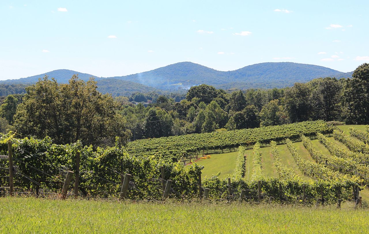 Three Sisters MountainSummitPhoto: Thomson200, CC0 (via Wikimedia Commons)~20 min drive
 Springer MountainSummitPhoto: Mark Larson, CC BY-SA 2.0 (via Wikimedia Commons)~28 min drive
 Brasstown BaldSummitPhoto: Public domain (via Wikimedia Commons)~19 min drive
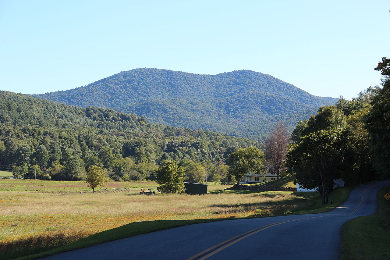 Big John Dick MountainSummitPhoto: Thomson200, CC0 (via Wikimedia Commons)~24 min drive
 Yonah MountainSummitPhoto: Tclo8899, CC BY-SA 3.0 (via Wikimedia Commons)~28 min drive
- Coosa BaldSummit~1 min drive
- Buckeye KnobSummit~5 min drive
Also worth it near here
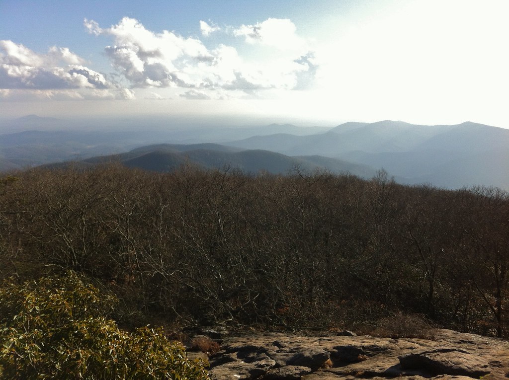 Coosa Backcountry TrailHikingPhoto: TranceMist, CC BY 2.0 (via Flickr)~3 min drive
 Helton Creek FallsWaterfallPhoto: Jsfouche, CC BY-SA 3.0 (via Wikimedia Commons)~6 min drive
- Lake Winfield Scott Recreation AreaCamping~7 min drive
 Tesnatee Gap TrailRock climbingPhoto: Thomsonmg2000, CC0 (via Wikimedia Commons)~12 min drive
Conditions and forecast
Daily highs and lows, wind and the chance of precipitation at the summit for the next 7 days, from the Open-Meteo model.
Questions about Wildcat Knob
How tall is Wildcat Knob?
3,983 ft (1,214 m).
Is there a trail to the top of Wildcat Knob?
We don't know of a mapped trail or route to the summit. Plan the approach with local maps, a guidebook or a local guide.
Ask about this place
Questions about Wildcat Knob: conditions, access, timing. Answers say when something isn't known.
