Coosa Backcountry Trail
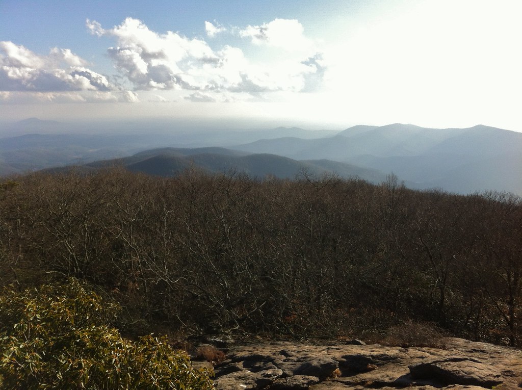 Photo: TranceMist, CC BY 2.0 (via Flickr)
- 2.3 mi
- round trip
- 1,984 ft
- climb
- 3,795 ft
- high point
- Out and back
- route
Is Coosa Backcountry Trail open right now?
Closure in the area
There's a closure order in Chattahoochee-Oconee National Forests. It doesn't name Coosa Backcountry Trail, so check the source for the area it covers (5 listed).
West Cowpen, FS Road 17, Road Maintenance
Agency closure covering Chattahoochee-Oconee National Forests · USFS · Chattahoochee-Oconee National Forests
Bear Creek Road, FS 241, Temporarily Closed
Agency closure covering Chattahoochee-Oconee National Forests · USFS · Chattahoochee-Oconee National Forests
Prescribed fire on Oconee Ranger District at Jasper County
Agency closure covering Chattahoochee-Oconee National Forests · USFS · Chattahoochee-Oconee National Forests
Muskrat Road, FS 218, Temporarily Closed
Agency closure covering Chattahoochee-Oconee National Forests · USFS · Chattahoochee-Oconee National Forests
Flash Flood Awareness
Agency closure covering Chattahoochee-Oconee National Forests · USFS · Chattahoochee-Oconee National Forests
As of · Source: USFS · Chattahoochee-Oconee National Forests. Agencies don't list every closure — check before you go.
The Coosa Backcountry Trail is a 4.6-mile out-and-back route in the Blood Mountain Wilderness, part of the Blue Ridge Ranger District of the Chattahoochee-Oconee National Forests in north Georgia. The trail starts at about 3,256 feet and climbs to 3,795 feet at its high point, with a total gain and loss of 1,984 feet over the full round trip. The one-way elevation gain is 656 feet. Because the trail crosses the wilderness boundary and the forest's ranger district, it is a natural fit for a longer backcountry day. Plan for about 2.5 hours on the ground. The Forest Service manages the surrounding land. Several other routes lie close by. The Coosa Backcountry and the Bear Hair Gap Spur are both about 0.4 miles away, and the Blood Mountain climbing area is 0.8 miles off. For an overnight stay, Lake Winfield Scott Recreation Area offers camping about 2.8 miles away.
Local outfitters
Not on Roamze yet. Their page has how to reach them.
- Coosa BackcountryHikingPhoto: TranceMist, CC BY 2.0 (via Flickr)0.4 mi
- Bear Hair Gap SpurHiking0.4 mi
- big cheeseRock climbing0.8 mi
- Blood MountainRock climbing0.8 mi
 Lake Winfield Scott Recreation AreaCampingPhoto: Recreation.gov (RIDB) / public domain2.8 mi
- Nottely RiverCanoeing3.7 mi
- Dockery Lake Rec. AreaCamping5.7 mi
 Toccoa RiverCanoeingPhoto: Thomson200, CC0 (via Wikimedia Commons)9 mi
Source: Roamze catalog (indexable pages within 10 miles, PostGIS distance)
- Coosa BackcountryHiking · Next doorPhoto: TranceMist, CC BY 2.0 (via Flickr)
- Woods Hole ShelterHiking · ~2 min drivePhoto: TranceMist, CC BY 2.0 (via Flickr)
 FreemanHiking · ~2 min drivePhoto: Pete Seabolt, CC BY 3.0 (via Wikimedia Commons)
- Coosa BackcountryHiking · ~1 min drive
- Yellow MountainHiking · ~9 min drive
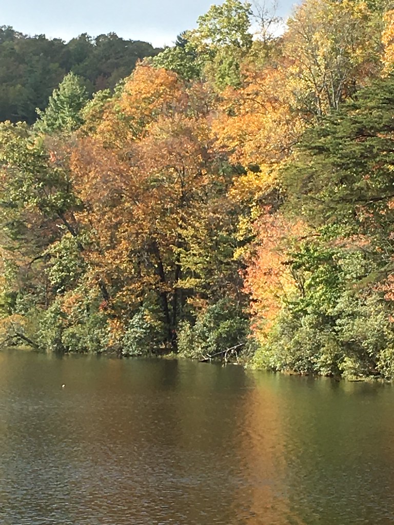 Slaughter Creek TrailHiking · ~3 min drivePhoto: ChattOconeeNF, CC BY 2.0 (via Flickr)
- Byron Herbert ReeceHiking · ~2 min drivePhoto: Pete Seabolt, CC BY 3.0 (via Wikimedia Commons)
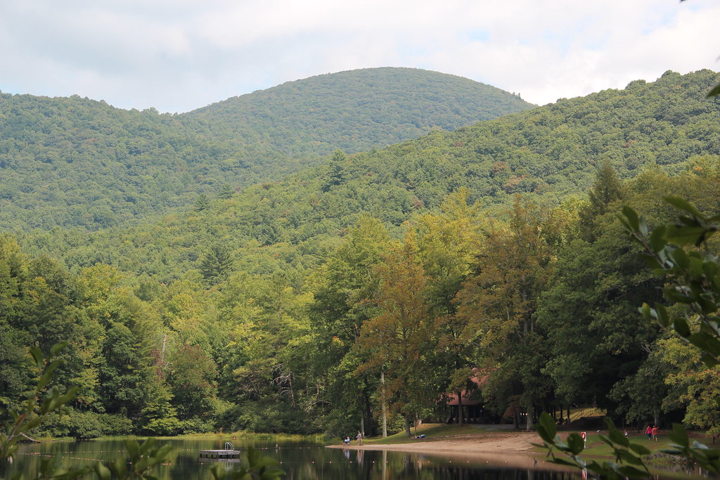 Lake Winfield ScottHiking · ~4 min drivePhoto: Thomson20192, Public Domain Dedication (CC0) (via Flickr)
- Slaughter CreekHiking · ~3 min drivePhoto: ChattOconeeNF, CC BY 2.0 (via Flickr)
 Helton Creek FallsHiking · ~4 min drivePhoto: samhozan, Public Domain Dedication (CC0) (via Flickr)
Also worth it near here
 Blood MountainSummit · ~1 min drivePhoto: Thomson200, CC0 (via Wikimedia Commons)
 DeSoto FallsWaterfall · ~5 min drivePhoto: Thomsonmg2000, CC0 (via Wikimedia Commons)
 DeSoto Falls CampgroundCamping · ~6 min drivePhoto: Bas van Oorschot, CC BY-SA 3.0 (via Wikimedia Commons)
 Tesnatee Gap TrailRock climbing · ~9 min drivePhoto: Thomsonmg2000, CC0 (via Wikimedia Commons)
Map and trail data © OpenStreetMap contributors
