Hendrys Creek
At a glance
Hendrys Creek is a hard hike on natural surface in the Ely Ranger District of Nevada's Humboldt-Toiyabe National Forest, about 17 miles long. The trail climbs from a low point of 5,920 feet to a high of 10,578 feet, a total elevation gain of 4,658 feet, and is an out-and-back route. The trail is open year round, and horses are allowed. The land is managed by the Forest Service. Hampton Creek lies about 2 miles away, and Horse Canyon Trail and Mt. Moriah are within about 6 miles. Rock Canyon is roughly 6 miles off.
- round trip
- 17.2 mi
- climb
- 4,658 ft
- high point
- 10,578 ft
- route
- Out and back
- time
- About 8 hours
Where it is: Ely Ranger District · Humboldt-Toiyabe National Forest
Near: Baker
Been here? Tell people how it was.
 Osceola Ditch TrailheadHikingPhoto: Seth Tisue, CC BY-SA 2.0 (via Flickr)~27 min drive
 Lower Lehman TrailHikingPhoto: paulinkenbrandt, CC BY-SA 2.0 (via Flickr)~27 min drive
- Horse Canyon TrailHiking~9 min drive
- Lehman Creek TrailheadHiking~28 min drive
 Osceola Ditch TrailHikingPhoto: paulinkenbrandt, CC BY-SA 2.0 (via Flickr)~27 min drive
- Mt. MoriahHiking~10 min drive
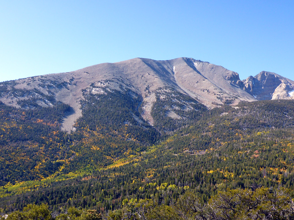 Osceola Ditch TrailHikingPhoto: simonov, CC BY-SA 2.0 (via Flickr)~29 min drive
 Camground Connector TrailHikingPhoto: Ken Lund, CC BY-SA 2.0 (via Flickr)~30 min drive
- Trail CanyonHiking~13 min drive
- Mount Moriah TrailHiking~14 min drive
Conditions and forecast
Caution todayAgency alerts are in effect for this areaUSFS · checked 2 min agoDaily highs and lows, wind and the chance of precipitation at Start for the next 7 days, from the Open-Meteo model.

Ask about this place
Questions about Hendrys Creek: conditions, access, timing. Answers say when something isn't known.
