Sand Flat
Campground
4.4 mi from the trail
Boulder Lake is a moderate out-and-back hike in the Carson-Iceberg Wilderness, part of the Summit Ranger District of Stanislaus National Forest in California. The trail is about 5.4 miles long, with a one-way elevation gain of 1,606 feet, starting at roughly 6,937 feet and reaching about 8,568 feet at the high point. The route is on natural surface, and the Forest Service allows horses. Bikes are not permitted. Several other destinations sit within a few miles. Clark Fork and Disaster Creek are both hikes about 2 miles away, and the Pacific Crest National Scenic Trail #2000 passes within about 2.5 miles. Sand Flat campground is about 4.4 miles off.
Where it is: Carson-Iceberg Wilderness · Summit Ranger District
Near: Strawberry
Been here? Tell people how it was.
 Clark ForkHikingPhoto: GSEC, CC BY 2.0 (via Flickr)2.2 mi
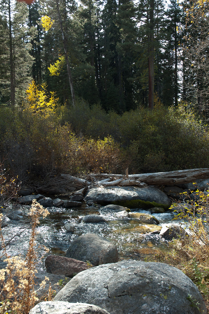 Disaster CreekHikingPhoto: Chris Mayer, CC BY 2.0 (via Flickr)2.3 mi
 Chipmunk FlatRock climbingPhoto: RuggyBearLA, CC BY 2.0 (via Flickr)6.9 mi
 East Fork Carson RiverCanoeingPhoto: Matkatamiba, CC BY-SA 4.0 (via Wikimedia Commons)7.1 miClark ForkHikingPhoto: GSEC, CC BY 2.0 (via Flickr)~4 min drive
 Corral ValleyHikingPhoto: jfdervin, CC BY-SA 2.0 (via Flickr)~12 min drive
 Columns of the Giants TrailHikingPhoto: GSEC, CC BY 2.0 (via Flickr)~13 min driveDisaster CreekHikingPhoto: Chris Mayer, CC BY 2.0 (via Flickr)~4 min drive
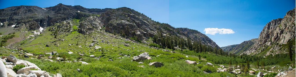 Blue CanyonHikingPhoto: zoxcleb, CC BY-SA 2.0 (via Flickr)~12 min drive
 Relief Reservoir TrailHikingPhoto: farktronix, CC BY 2.0 (via Flickr)~15 min drive
 Stanislaus PeakHikingPhoto: Moo.The.Cow, CC BY 2.0 (via Flickr)~11 min drive
 DrivewayHikingPhoto: jfdervin, CC BY-SA 2.0 (via Flickr)~17 min drive
Also worth it near here
Chipmunk FlatRock climbingPhoto: RuggyBearLA, CC BY 2.0 (via Flickr)~12 min driveEast Fork Carson RiverCanoeingPhoto: Matkatamiba, CC BY-SA 4.0 (via Wikimedia Commons)~12 min drive Trail 823019010602Mountain bikingPhoto: Wizz4prep, CC BY-SA 4.0 (via Wikimedia Commons)~15 min drive
Daily highs and lows, wind and the chance of precipitation at Start for the next 7 days, from the Open-Meteo model.
Questions about Boulder Lake: conditions, access, timing. Answers say when something isn't known.
Sand Flat
Campground
Alpine County Museum
Museum
Places © OpenStreetMap contributors, Places © Overture Maps Foundation
More in Bear Valley