
May Queen
Campground
1.2 mi from the trail
Timberline is a backcountry cross-country ski route in the Holy Cross Wilderness, part of the Leadville Ranger District of the Pike and San Isabel National Forests in Colorado. The Forest Service manages the land. The route is an out-and-back that climbs from about 10,000 feet to about 10,900 feet, and it is rated hard. Winter is the natural season for this ski run. Typical averages from a nearby weather station at a similar elevation show January highs around 31°F and lows near 3°F. July is the warmest month, with highs around 73°F and lows near 39°F, but temperatures at the high point run a few degrees cooler than those figures. The route starts close to the Timberline Trail and the Glacier Creek Skinner Hut Trail 1510, both about a third of a mile away. May Queen campground is about a mile off, and the Tabor Campground lies about 5 miles away.
Where it is: Holy Cross Wilderness · Leadville Ranger District
Near: Leadville
Best months: June–August. Best months have typical highs of 55–85 °F, lows of 30 °F or warmer (32 °F where the station doesn't record snow), at most one snowy day and no more than 12 wet days.
Jan
31°
3°
8 wet
Feb
33°
3°
8 wet
Mar
39°
9°
8 wet
Apr
44°
18°
8 wet
May
55°
27°
9 wet
Jun
68°
34°
9 wet
Jul
73°
39°
12 wet
Aug
70°
38°
12 wet
Sep
62°
31°
8 wet
Oct
51°
23°
6 wet
Nov
39°
14°
7 wet
Dec
31°
6°
7 wet
Typical high / low (°F) and days with rain or snow, 1991–2020. Measured at Sugarloaf Rsvr, CO, 5 mi away at 9,738 ft. The station sits about 1,100 ft lower than this place, so expect it a little cooler here. This station doesn't record snowfall. Source: NOAA NCEI U.S. Climate Normals 1991–2020.
Been here? Tell people how it was.
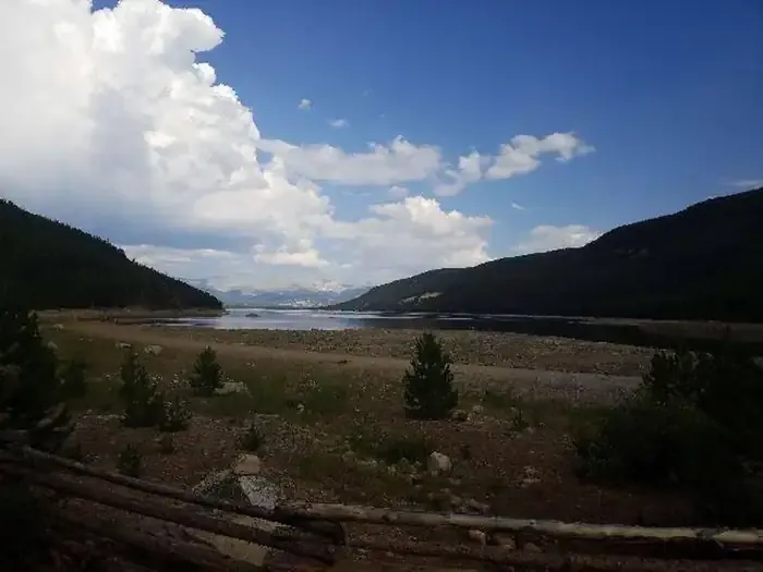 May QueenCampingPhoto: Recreation.gov (RIDB) / public domain1.2 mi
 Tiger CliffRock climbingPhoto: foto3116, CC BY 2.0 (via Flickr)2.1 miMain WallRock climbingPhoto: foto3116, CC BY 2.0 (via Flickr)2.1 mi
 Ddh Headgates RoadCross-country skiingPhoto: USFWS Mountain-Prairie, CC BY 2.0 (via Wikimedia Commons)~8 min drive
 GrizCross-country skiingPhoto: Bruce Fingerhood from Springfield, Oregon, US, CC BY 2.0 (via Wikimedia Commons)~15 min drive
 CooperCross-country skiingPhoto: Jeffrey Beall, CC BY 4.0 (via Wikimedia Commons)~16 min driveCooper LoopCross-country skiingPhoto: Jeffrey Beall, CC BY 4.0 (via Wikimedia Commons)~16 min drive
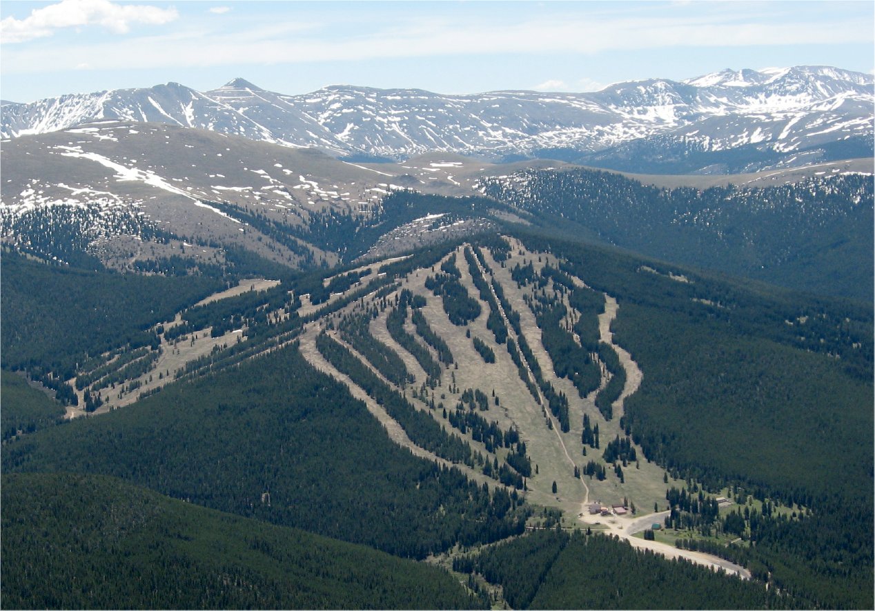 Ski CooperDownhill skiingPhoto: The original uploader was Sculptorjones at English Wikipedia., Public domain (via Wikimedia Commons)~17 min driveCounty Road 48Cross-country skiingPhoto: USFWS Mountain-Prairie, CC BY 2.0 (via Wikimedia Commons)~8 min driveLung BurnCross-country skiingPhoto: Bruce Fingerhood from Springfield, Oregon, US, CC BY 2.0 (via Wikimedia Commons)~15 min drive
 Treeline Loop Ski TrailCross-country skiingPhoto: Jeffrey Beall, CC BY 4.0 (via Wikimedia Commons)~15 min driveLarry'S LoopCross-country skiingPhoto: Bruce Fingerhood from Springfield, Oregon, US, CC BY 2.0 (via Wikimedia Commons)~15 min drive
Also worth it near here
Daily highs and lows, wind and the chance of precipitation at Start for the next 7 days, from the Open-Meteo model.
Questions about Timberline: conditions, access, timing. Answers say when something isn't known.
May Queen
Campground
La Mina Tacos Y Mariscos
Restaurant
 If it rainsCraig Talbert, CC BY 3.0 · Wikimedia Commons
Places © OpenStreetMap contributors · Photos: Craig Talbert, CC BY 3.0 (commons)
More in LeadvilleNot on Roamze yet. Their page has how to reach them.
Map and trail data © OpenStreetMap contributors
