Sugar Loafin'
Campground
Campground · 4.3 mi from the trail
 Photo: Bruce Fingerhood from Springfield, Oregon, US, CC BY 2.0 (via Wikimedia Commons)
Closure in the area
There's a closure order in Leadville Ranger District. It doesn't name Larry'S Loop, so check the source for the area it covers.
Willow Fire Area Closure
Agency closure covering Leadville Ranger District · Order 02-12-01-26-39 · USFS · Leadville Ranger District
FSR 286, Radical Hill, is closed due to washouts and unsafe conditions
Agency alert covering Pike and San Isabel National Forests · USFS · Pike and San Isabel National Forests
Interlaken Hotel and Annex Area closure
Agency alert covering Leadville Ranger District · Order 02-12-01-26-19 · USFS · Leadville Ranger District
Interlaken Hotel Tree Hazards
Agency alert covering Pike and San Isabel National Forests · USFS · Pike and San Isabel National Forests
Sharpe Fire Update
Agency alert covering Pike and San Isabel National Forests · USFS · Pike and San Isabel National Forests
As of · Source: USFS · Leadville Ranger District. Agencies don't list every closure — check before you go.
Larry's Loop is a cross-country ski route in Colorado's Leadville Ranger District, part of the Pike and San Isabel National Forests. The Forest Service manages the land, and the loop sits at about 10,400 feet, with a high point of 10,457 feet and a low of 10,337 feet. The route is 0.86 miles long, and the climb totals 94 feet of gain, with a steepest stretch of about 12% at 0.73 miles in. Winter is the natural season for this trail. Typical averages from a nearby weather station at Leadville show January highs around 30°F with lows near 5°F, while July highs reach about 71°F. That station sits roughly 500 feet lower than the loop, so temperatures on the trail run a little cooler. The route is short and moderate, and it links easily with other ski areas. Lung Burn is about 0.1 mile away and The Woods about 0.2 mile. For an overnight stay, Camp Hale Memorial Campground is about 4.6 miles off, and the East Fork Arkansas River offers paddling about 4.5 miles away.
Sugar Loafin'
Campground
Hot Heads Chicken
Fast food
 If it rainsPlazak, CC BY 3.0 · Wikimedia Commons
Matchless Mine
Attraction
Places © OpenStreetMap contributors · Photos: Plazak, CC BY 3.0 (commons)
More in LeadvilleBest months: June–July and September. Best months have typical highs of 55–85 °F, lows of 30 °F or warmer (32 °F where the station doesn't record snow), at most one snowy day and no more than 12 wet days.
Jan
30° / 5°
10 wet
Feb
31° / 6°
10 wet
Mar
37° / 12°
11 wet
Apr
43° / 19°
11 wet
May
54° / 27°
9 wet
Jun
66° / 34°
7 wet
Jul
71° / 39°
12 wet
Aug
68° / 38°
13 wet
Sep
61° / 32°
9 wet
Oct
50° / 24°
8 wet
Nov
37° / 13°
9 wet
Dec
29° / 5°
10 wet
Typical high / low (°F) and days with rain or snow, 1991–2020. Measured at Leadville Lake Co Ap, CO, 8.6 mi away at 9,932 ft. The station sits about 500 ft lower than this place, so expect it a little cooler here. This station doesn't record snowfall. Source: NOAA NCEI U.S. Climate Normals 1991–2020.
Photo: Bruce Fingerhood from Springfield, Oregon, US, CC BY 2.0 (via Wikimedia Commons)Lung Burn
Next door
0.49-mile trail in Colorado with 186 ft of elevation gain.
Photo: Bruce Fingerhood from Springfield, Oregon, US, CC BY 2.0 (via Wikimedia Commons)The Woods
Next door
0.48-mile trail in Colorado with 58 ft of elevation gain.
 Photo: Jeffrey Beall, CC BY 4.0 (via Wikimedia Commons)
Cooper Loop Road
Next door
Cooper Loop Road is a 0.83-mile route in Colorado with 326 feet of elevation gain.
Photo: Jeffrey Beall, CC BY 4.0 (via Wikimedia Commons)Cooper
~1 min drive
Cooper is a 0.24-mile ski trail in Colorado with 10 feet of elevation gain.
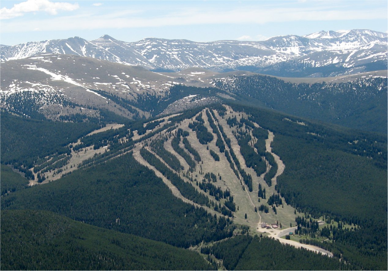 Photo: The original uploader was Sculptorjones at English Wikipedia., Public domain (via Wikimedia Commons)
Ski Cooper
~2 min drive
Ski Cooper in Colorado has 5 lifts and 47 runs (12 easy, 16 intermediate, 18 advanced) with 1,161 ft of vertical.
Photo: Bruce Fingerhood from Springfield, Oregon, US, CC BY 2.0 (via Wikimedia Commons)Griz
~1 min drive
Griz is a 0.83-mile trail in Colorado with 26 ft of elevation gain.
Photo: Bruce Fingerhood from Springfield, Oregon, US, CC BY 2.0 (via Wikimedia Commons)Fish Flats
Next door
3.85-mile cross-country ski trail in Colorado with 137 ft of elevation gain.
Photo: Jeffrey Beall, CC BY 4.0 (via Wikimedia Commons)Cooper Creek
Next door
Cooper Creek is a 0.37-mile trail in Colorado with 147 feet of elevation gain.
 Photo: Jeffrey Beall, CC BY 4.0 (via Wikimedia Commons)
Treeline Loop Ski Trail
~2 min drive
1.60-mile loop in Tennessee Pass, Colorado with 466 ft elevation gain.
 Photo: Jarrod Doll from United States of America, CC BY 2.0 (via Wikimedia Commons)
Copper Mountain
~20 min drive
Copper Mountain is a ski area in Colorado with 147 runs and 23 lifts.
Map and trail data © OpenStreetMap contributors

