Matchless Campground
Campground
Campground · 1.3 mi from the trail
 Photo: USFWS Mountain-Prairie, CC BY 2.0 (via Wikimedia Commons)
Closure in the area
There's a closure order in Leadville Ranger District. It doesn't name Ddh Headgates Road, so check the source for the area it covers.
Willow Fire Area Closure
Agency closure covering Leadville Ranger District · Order 02-12-01-26-39 · USFS · Leadville Ranger District
FSR 286, Radical Hill, is closed due to washouts and unsafe conditions
Agency alert covering Pike and San Isabel National Forests · USFS · Pike and San Isabel National Forests
Interlaken Hotel and Annex Area closure
Agency alert covering Leadville Ranger District · Order 02-12-01-26-19 · USFS · Leadville Ranger District
Interlaken Hotel Tree Hazards
Agency alert covering Pike and San Isabel National Forests · USFS · Pike and San Isabel National Forests
Sharpe Fire Update
Agency alert covering Pike and San Isabel National Forests · USFS · Pike and San Isabel National Forests
As of · Source: USFS · Leadville Ranger District. Agencies don't list every closure — check before you go.
Ddh Headgates Road is a short, easy cross-country ski route in Colorado's Leadville Ranger District of the Pike and San Isabel National Forests. The Forest Service manages the land, and the route sits within the district's network of snow routes, making it a convenient stop for skiers exploring the surrounding area. The trail is less than a mile long, from about 9,619 feet to about 9,662 feet, with a total elevation gain of 34 feet. It's a gentle climb, and the steepest section comes early, at about 3 percent grade. The route is rated easy, and it can be skied either direction. Winter is the natural season for this kind of outing. Typical averages from the nearby Sugarloaf Rsvr weather station run from highs around 31°F in December and January to about 68°F in June, with the coldest months seeing lows near 3°F. July and August are the warmest, with highs in the low 70s. County Road 48 lies just 0.1 mile away. Matchless Campground and Matchless Boating Site are both about a mile and a half off, and Fallen Tree offers hiking at a similar distance.
Matchless Campground
Campground
La Mina Tacos Y Mariscos
Restaurant
 If it rainsCraig Talbert, CC BY 3.0 · Wikimedia Commons
Places © OpenStreetMap contributors · Photos: Craig Talbert, CC BY 3.0 (commons)
More in LeadvilleNot on Roamze yet. Their page has how to reach them.
Best months: June–August. Best months have typical highs of 55–85 °F, lows of 30 °F or warmer (32 °F where the station doesn't record snow), at most one snowy day and no more than 12 wet days.
Jan
31° / 3°
8 wet
Feb
33° / 3°
8 wet
Mar
39° / 9°
8 wet
Apr
44° / 18°
8 wet
May
55° / 27°
9 wet
Jun
68° / 34°
9 wet
Jul
73° / 39°
12 wet
Aug
70° / 38°
12 wet
Sep
62° / 31°
8 wet
Oct
51° / 23°
6 wet
Nov
39° / 14°
7 wet
Dec
31° / 6°
7 wet
Typical high / low (°F) and days with rain or snow, 1991–2020. Measured at Sugarloaf Rsvr, CO, 0.4 mi away at 9,738 ft. This station doesn't record snowfall. Source: NOAA NCEI U.S. Climate Normals 1991–2020.
 Photo: Famartin, CC BY-SA 4.0 (via Wikimedia Commons)
Back 9
~7 min drive
1.52-mile cross-country ski trail in Colorado with 224 ft of elevation gain.
 Photo: Bruce Fingerhood from Springfield, Oregon, US, CC BY 2.0 (via Wikimedia Commons)
Griz
~14 min drive
Griz is a 0.83-mile trail in Colorado with 26 ft of elevation gain.
Photo: Bruce Fingerhood from Springfield, Oregon, US, CC BY 2.0 (via Wikimedia Commons)Willa'S Way
~14 min drive
0.86-mile trail in Colorado with 89 ft of elevation gain.
 Photo: Jeffrey Beall, CC BY 4.0 (via Wikimedia Commons)
Cooper
~14 min drive
Cooper is a 0.24-mile ski trail in Colorado with 10 feet of elevation gain.
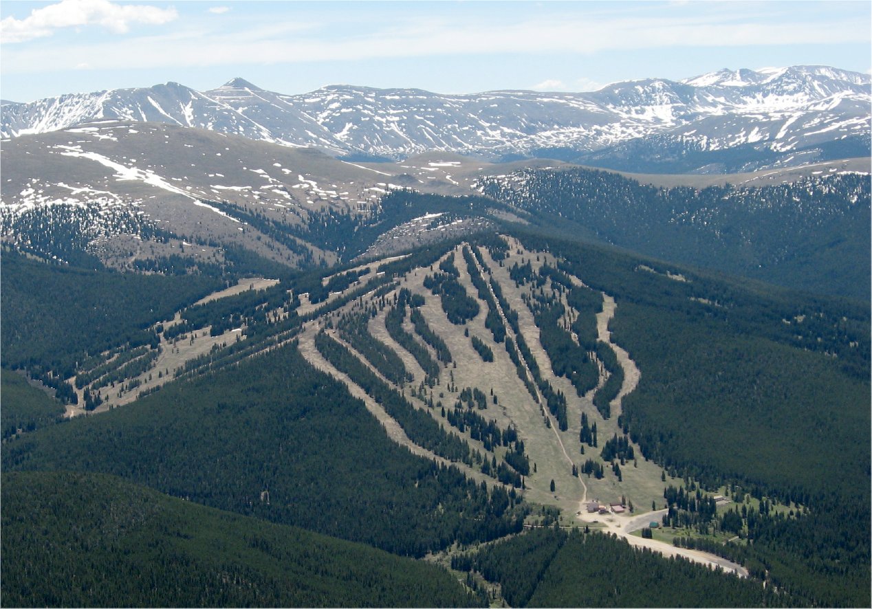 Photo: The original uploader was Sculptorjones at English Wikipedia., Public domain (via Wikimedia Commons)
Ski Cooper
~15 min drive
Ski Cooper in Colorado has 5 lifts and 47 runs (12 easy, 16 intermediate, 18 advanced) with 1,161 ft of vertical.
 Photo: Famartin, CC BY-SA 4.0 (via Wikimedia Commons)
Cutoff
~8 min drive
Cutoff is a 0.35-mile trail in Colorado with 51 feet of elevation gain.
Photo: Bruce Fingerhood from Springfield, Oregon, US, CC BY 2.0 (via Wikimedia Commons)Lung Burn
~14 min drive
0.49-mile trail in Colorado with 186 ft of elevation gain.
Photo: Bruce Fingerhood from Springfield, Oregon, US, CC BY 2.0 (via Wikimedia Commons)Larry'S Loop
~14 min drive
Larry'S Loop is a short 0.86-mile loop in Colorado with 256 feet of elevation gain.
 Photo: Jeffrey Beall, CC BY 4.0 (via Wikimedia Commons)
Treeline Loop Ski Trail
~14 min drive
1.60-mile loop in Tennessee Pass, Colorado with 466 ft elevation gain.
SEE
Dutch Henry Ski Hill
~7 min drive
Dutch Henry Ski Hill is a small downhill ski area in Colorado with 1 rope tow. It is operated by Colorado Mountain College.
Map and trail data © OpenStreetMap contributors

