Taylor 2
At a glance
Taylor 2 is a short, easy out-and-back hike in Nevada's Humboldt-Toiyabe National Forest, within the Mountain City-Ruby Mountains-Jarbidge Ranger District. The route is about 1.4 miles long, with a total elevation gain of 248 feet, taking you from a low point of 6,279 feet to a high of 6,530 feet. The Forest Service manages the land. Summer is the most comfortable time to go. Typical averages from the nearby Jarbidge weather station, which sits about 350 feet lower than the hike's high point, show July and August highs in the low 80s with lows around 48°F. Winter is cold, with January highs near 38°F and lows around 17°F. The Taylor hike lies about 1.4 miles away, and McDonald is about 4 miles off. For an overnight stay, Big Bend Campground is roughly 9 miles away. Paddlers can reach the Bruneau River, about 8 miles from the trail.
- round trip
- 1.4 mi
- climb
- 248 ft
- high point
- 6,530 ft
- route
- Out and back
- time
- About 30 minutes
- best months
- May–Oct
Where it is: Mountain City-Ruby Mountains-Jarbidge Ranger District · Humboldt-Toiyabe National Forest
Near: Jackpot
Best time to visit Taylor 2
Best months: May–October. Best months have typical highs of 55–85 °F, lows of 30 °F or warmer (32 °F where the station doesn't record snow), at most one snowy day and no more than 12 wet days.
Jan
38°
17°
Feb
39°
17°
Mar
48°
25°
Apr
54°
28°
May
64°
37°
Jun
72°
43°
Jul
83°
48°
Aug
84°
48°
Sep
73°
41°
Oct
60°
32°
Nov
47°
25°
Dec
39°
18°
Typical high / low (°F) and days with rain or snow, 1991–2020. Measured at Jarbidge, NV, 15.4 mi away at 6,180 ft. This station doesn't record snowfall. Source: NOAA NCEI U.S. Climate Normals 1991–2020.
Been here? Tell people how it was.
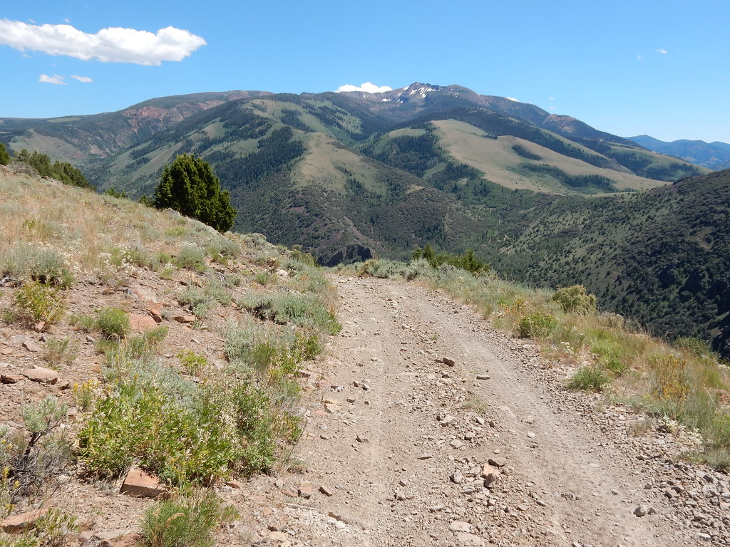 Clover TrailHikingPhoto: Matt Lavin, CC BY-SA 2.0 (via Flickr)~27 min drive
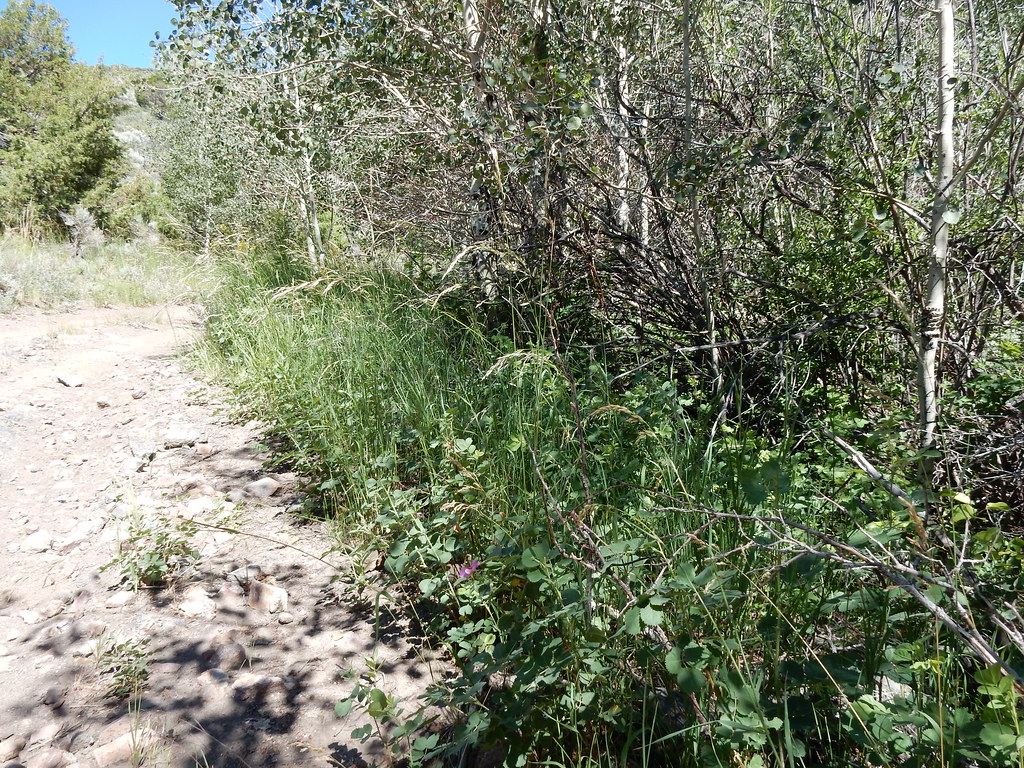 Jack CreekHikingPhoto: Matt Lavin, CC BY-SA 2.0 (via Flickr)~28 min drive
 Jenny CreekHikingPhoto: Matt Lavin, CC BY-SA 2.0 (via Flickr)~29 min drive
- SUMMITT SPUR AHiking~10 min drive
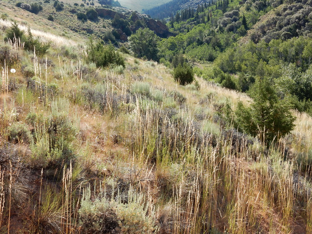 Jenny CreekHikingPhoto: Matt Lavin, CC BY-SA 2.0 (via Flickr)~27 min drive
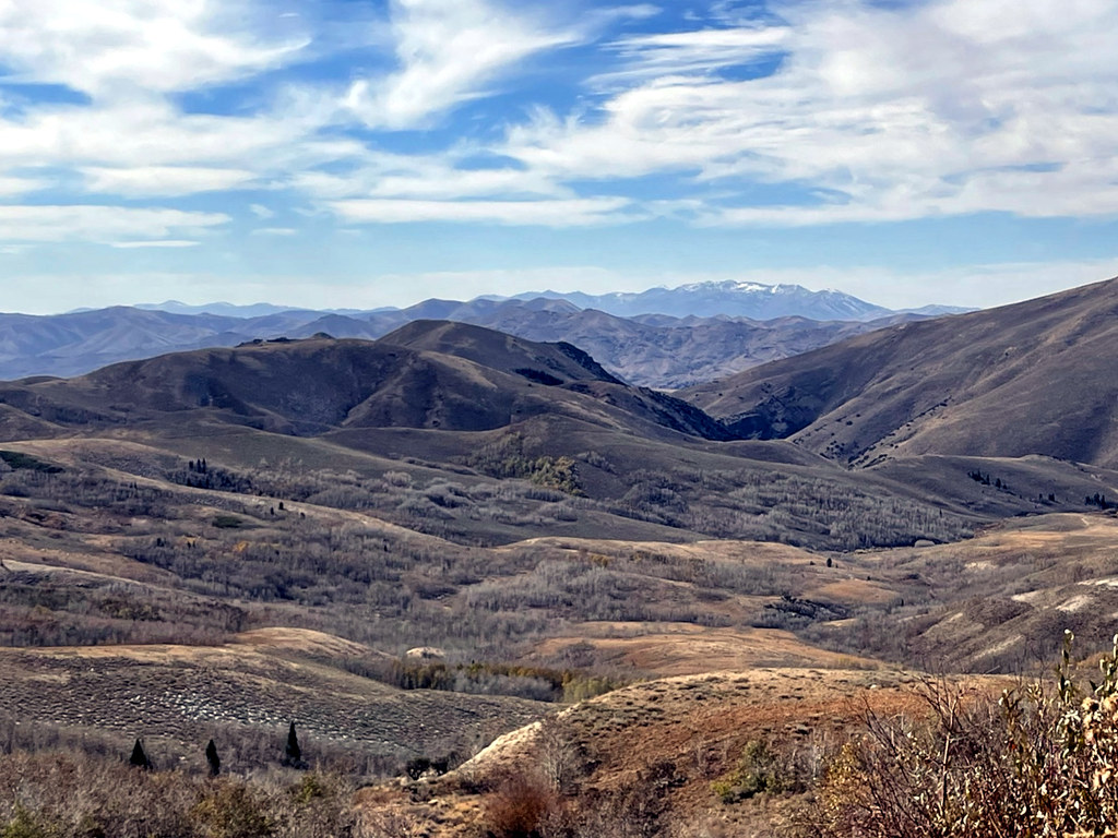 Pine CreekHikingPhoto: simonov, CC BY-SA 2.0 (via Flickr)~27 min drive
- West Marys River - Camp Draw TrailHiking~35 min drive
- CHIPMAN LOOPHiking~13 min drive
 Altitude TrailHikingPhoto: Matt Lavin, CC BY-SA 2.0 (via Flickr)~31 min drive
- JennyHikingPhoto: Matt Lavin, CC BY-SA 2.0 (via Flickr)~28 min drive
Conditions and forecast
Caution at last checkAgency alerts are in effect for this areaUSFS · checked 23 h agoDaily highs and lows, wind and the chance of precipitation at Start for the next 7 days, from the Open-Meteo model.


Ask about this place
Questions about Taylor 2: conditions, access, timing. Answers say when something isn't known.
