Arc Dome Summit
At a glance
Arc Dome Summit is a 2-mile out-and-back hike in Nevada's Arc Dome Wilderness, part of the Humboldt-Toiyabe National Forest's Austin-Tonopah Ranger District. The trail climbs about 1,075 feet from a low point of 10,695 feet to a high point of 11,768 feet, and it is rated moderate. The route is on natural surface, and horses are allowed. Bikes are not. The Forest Service manages the land, and the trail lies within designated wilderness. The open season runs from June 15 to October 30. That makes late summer the most comfortable time to go, when the high country is at its most accessible. Nearby, the Arc Dome Trail is about 1.7 miles away, and the North Twin River Cutoff is about 2.5 miles off. The Toiyabe Crest Trail is about 4.1 miles away, and Columbine Campground is about 4.3 miles away.
- round trip
- 2.0 mi
- climb
- 1,075 ft
- high point
- 11,768 ft
- route
- Out and back
- time
- About 1 hour
Where it is: Arc Dome Wilderness · Austin-Tonopah Ranger District
Near: Austin
Been here? Tell people how it was.
 Arc Dome TrailHikingPhoto: Seth Tisue, CC BY-SA 2.0 (via Flickr)1.7 mi
 North Twin River CutoffHikingPhoto: Seth Tisue, CC BY-SA 2.0 (via Flickr)2.5 mi
- Little Jett CreekHiking3.9 mi
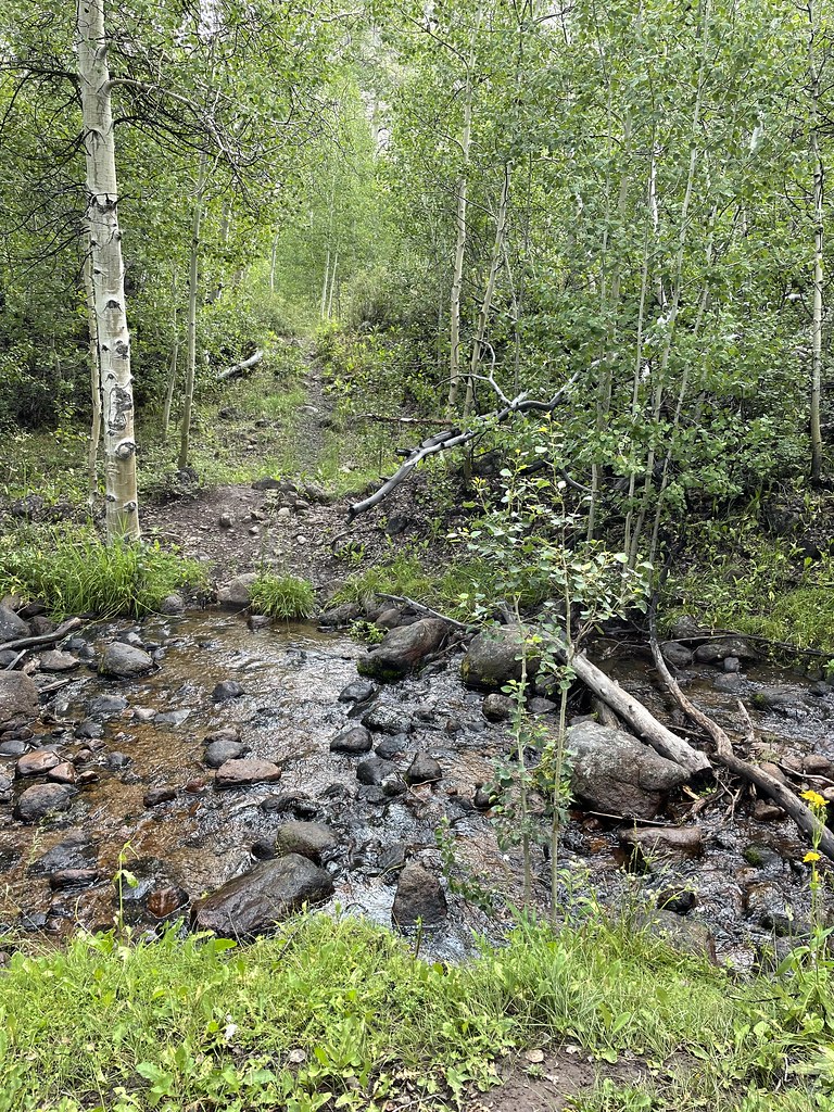 Stewart CreekHikingPhoto: Seth Tisue, CC BY-SA 2.0 (via Flickr)4 mi
- Toiyabe Crest TrailHiking4.1 mi
- Twin Rivers Connector TrailHiking4.2 mi
- South Fork South Twin RiverHiking4.2 mi
- Columbine CampgroundCamping4.3 mi
- North Twin River CutoffHikingPhoto: Seth Tisue, CC BY-SA 2.0 (via Flickr)~4 min drive
- Stewart CreekHikingPhoto: Seth Tisue, CC BY-SA 2.0 (via Flickr)~7 min drive
 Adt - Nevada - S - Seg 5HikingPhoto: Ken Lund from Las Vegas, Nevada, USA, CC BY-SA 2.0 (via Wikimedia Commons)~21 min drive
- Toiyabe Crest TrailHiking~7 min drive
- Arc Dome TrailHikingPhoto: Seth Tisue, CC BY-SA 2.0 (via Flickr)~3 min drive
 ColumbineHikingPhoto: Seth Tisue, CC BY-SA 2.0 (via Flickr)~8 min drive
- Fishers Hayfarm RoadHikingPhoto: Ken Lund from Las Vegas, Nevada, USA, CC BY-SA 2.0 (via Wikimedia Commons)~21 min drive
- Toiyabe Crest TrailHiking~11 min drive
- Little Jett CreekHiking~7 min drive
- Adt - Nevada - S - Seg 6Hiking~10 min drive
Conditions and forecast on Arc Dome
Caution todayAgency alerts are in effect for this areaUSFS · checked 16 min agoDaily highs and lows, wind and the chance of precipitation at the summit and route start for the next 7 days, from the Open-Meteo model.
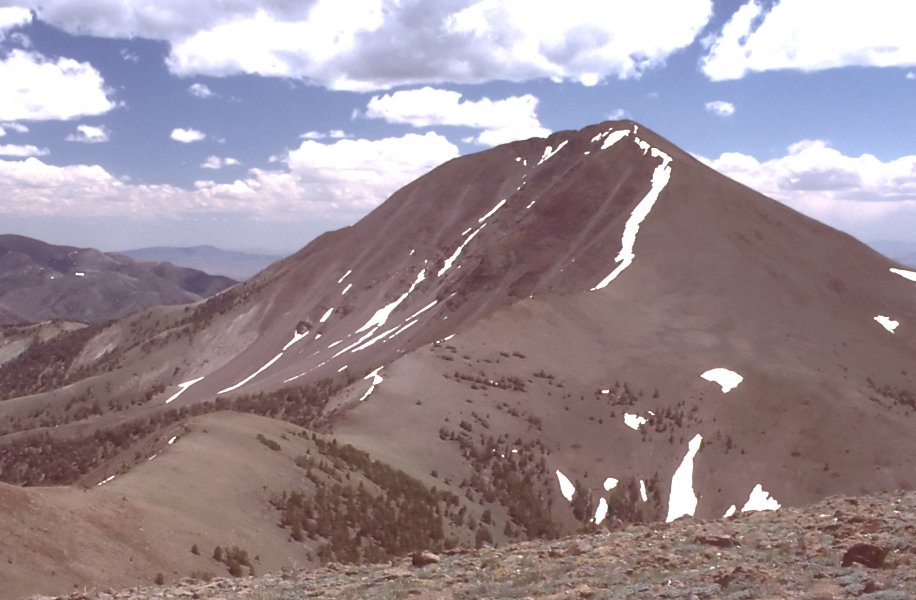
Ask about this place
Questions about Arc Dome Summit: conditions, access, timing. Answers say when something isn't known.
Questions about this route
How long is the Arc Dome Summit on Arc Dome?
About 2.0 mi round trip.
How much elevation gain is on the Arc Dome Summit?
About 1,075 ft of climbing round trip.
How hard is the Arc Dome Summit?
It is rated moderate.
How long does the Arc Dome Summit take?
About 1 hour round trip.
