Fishers Hayfarm Road
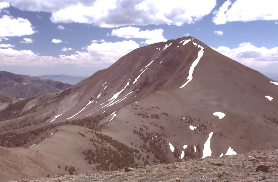
 Photo: Ken Lund from Las Vegas, Nevada, USA, CC BY-SA 2.0 (via Wikimedia Commons)
- 1.9 mi
- round trip
- 138 ft
- climb
- 5,780 ft
- high point
- Out and back
- route
- Apr–Jun, Sep–Oct
- best months
Fishers Hayfarm Road is an easy out-and-back hike on Bureau of Land Management land in Nevada's Tonopah Field Office, about 2 miles from Tonopah. The route is roughly 3.9 miles long, with a total elevation gain of about 138 feet, so it's a short walk that stays mostly flat. The high point is about 5780 feet, and the low point is about 5642 feet. Spring and fall are the most comfortable times to go. Typical averages from a nearby weather station in Smoky Valley run to highs around 72°F in May and 68°F in October. July is the hottest month, with typical highs near 91°F. The hike takes about 1.5 hours. The closest trail is Adt - Nevada - S - Seg 5, about 0.4 miles away. Broad Canyon is about 4 miles off, and Jett Creek and Willow Creek 4 are both within about 6 miles.
Best time to go · Apr–Jun, Sep–Oct
Best time to visit Fishers Hayfarm Road
Best months: April–June and September–October. Best months have typical highs of 55–85 °F, lows of 30 °F or warmer (32 °F where the station doesn't record snow), at most one snowy day and no more than 12 wet days.
Jan
42° / 17°
4 wet
Feb
48° / 21°
4 wet
Mar
56° / 27°
4 wet
Apr
63° / 32°
4 wet
May
72° / 40°
4 wet
Jun
84° / 47°
3 wet
Jul
91° / 55°
3 wet
Aug
90° / 53°
2 wet
Sep
81° / 44°
2 wet
Oct
68° / 33°
3 wet
Nov
54° / 23°
3 wet
Dec
42° / 16°
4 wet
Typical high / low (°F) and days with rain or snow, 1991–2020. Measured at Smoky Valley - Carvers, NV, 2.3 mi away at 5,647 ft. This station doesn't record snowfall. Source: NOAA NCEI U.S. Climate Normals 1991–2020.
Keep exploring — more trails worth the drive
Photo: Ken Lund from Las Vegas, Nevada, USA, CC BY-SA 2.0 (via Wikimedia Commons)Adt - Nevada - S - Seg 5
Next door
0.37-mile out-and-back trail in Nevada with 15 ft of elevation gain.
HIKE
Mount Jefferson
~20 min drive
23.03-mile out-and-back trail in Nevada with 1,743 ft elevation gain.
HIKE
Broad Canyon
~7 min drive
2.00-mile out-and-back trail in Nevada with 876 ft elevation gain.
HIKE
Toiyabe Crest Trail
~18 min drive
16.23-mile out-and-back hike on Nevada's Toiyabe Crest Trail with 3,321 ft gain.
HIKE
WILLOW CREEK 4
~10 min drive
2.26-mile out-and-back trail in Nevada with 505 ft elevation gain
 Photo: Seth Tisue, CC BY-SA 2.0 (via Flickr)
Arc Dome Trail
~23 min drive
9.60-mile out-and-back hike in Nevada with 198 ft gain.
HIKE
Adt - Nevada - S - Seg 5
~10 min drive
3.90-mile out-and-back trail in Nevada with 2 ft gain and 662 ft loss.
HIKE
Toiyabe Crest Trail
~26 min drive
16.18-mile out-and-back trail in Nevada with 4,596 ft elevation gain and loss.
HIKE
Jefferson Canyon Road
~13 min drive
Jefferson Canyon Road is a 1.02-mile out-and-back trail in Nevada with 9 ft of elevation gain.
 Photo: Seth Tisue, CC BY-SA 2.0 (via Flickr)
North Twin River Cutoff
~24 min drive
5.95-mile loop in Nevada with 2,781 ft elevation gain and loss.
Map and trail data © OpenStreetMap contributors
