Barnhardt
At a glance
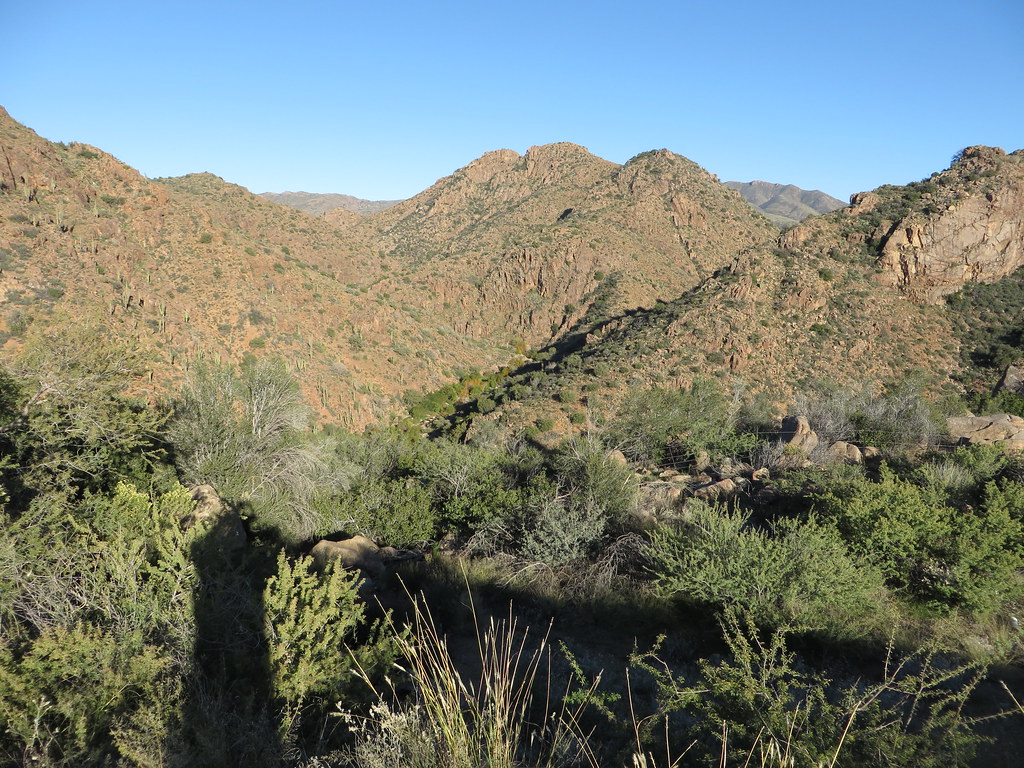
Barnhardt is a hard hike in Arizona's Mazatzal Wilderness, within the Payson Ranger District of Tonto National Forest. The trail is an out-and-back that climbs from about 4,193 feet to about 6,099 feet, a total gain of 1,864 feet over roughly 11.7 miles. The Forest Service manages the land, and the trail is accessible. Spring and fall are the most comfortable times to go. Typical averages from a nearby weather station in Payson show May highs around 80°F and October highs around 76°F, while July averages about 93°F and winter lows dip to the mid-20s. The trail is open year-round, and the parking area is named Barnhardt TH. Bikes are not allowed, and the surface is natural. Several other hikes sit close by. Y Bar is about half a mile away, Half Moon is about a mile off, and Brody Seep and Deer Creek are both within about 3.5 miles.
- round trip
- 11.7 mi
- climb
- 1,864 ft
- high point
- 6,099 ft
- route
- Out and back
- time
- About 5 hours
- best months
- Mar–May, Oct
Where it is: Mazatzal Wilderness · Payson Ranger District
Near: Payson
Best time to visit Barnhardt
Best months: March–May and October. Best months have typical highs of 55–85 °F, lows of 30 °F or warmer (32 °F where the station doesn't record snow), at most one snowy day and no more than 12 wet days.
Jan
56°
26°
5 wet
Feb
58°
28°
5 wet
Mar
65°
32°
5 wet
Apr
72°
36°
3 wet
May
80°
43°
2 wet
Jun
90°
51°
2 wet
Jul
93°
60°
8 wet
Aug
91°
59°
11 wet
Sep
86°
52°
6 wet
Oct
76°
41°
4 wet
Nov
64°
31°
4 wet
Dec
55°
26°
5 wet
Typical high / low (°F) and days with rain or snow, 1991–2020. Measured at Payson, AZ, 10.9 mi away at 4,850 ft. The station sits about 1,200 ft lower than this place, so expect it a little cooler here. This station doesn't record snowfall. Source: NOAA NCEI U.S. Climate Normals 1991–2020.
Been here? Tell people how it was.
 DiamondHikingPhoto: Ken Lund, CC BY-SA 2.0 (via Flickr)~28 min drive
 Bolder TrailHikingPhoto: cogdogblog, CC BY 2.0 (via Flickr)~22 min drive
 Fig SpringHikingPhoto: Tanque Verde, CC BY 2.0 (via Flickr)~30 min drive
- Rock CreekHiking~7 min drive
- Y BarHikingNext door
- Lost Trail #279Hiking~13 min drive
- Deer CreekHiking~6 min drive
- Arizona TrailHiking~18 min drive
- Willow SpringsHiking~10 min drive
- Saddle Mountain Trail #91Hiking~17 min drive
Also worth it near here
- Elephant Head TankLake fishing~19 min drive
 Tonto ButtressRock climbingPhoto: https://www.flickr.com/photos/cogdog/, CC BY-SA 2.0 (via Wikimedia Commons)~20 min drive
 Tonto CreekCanoeingPhoto: Richard N Horne, CC BY-SA 4.0 (via Wikimedia Commons)~21 min drive
- Flowing Springs DispersedCamping~27 min drive
Conditions and forecast
Caution at last checkAgency alerts are in effect for this areaUSFS · checked 16 h agoDaily highs and lows, wind and the chance of precipitation at Start for the next 7 days, from the Open-Meteo model.
Ask about this place
Questions about Barnhardt: conditions, access, timing. Answers say when something isn't known.
Local outfitters
- Arizona Desert Mountain Jeep Tours28 mi away
- Black Canyon Campground41 mi away
Not on Roamze yet. Their page has how to reach them.
