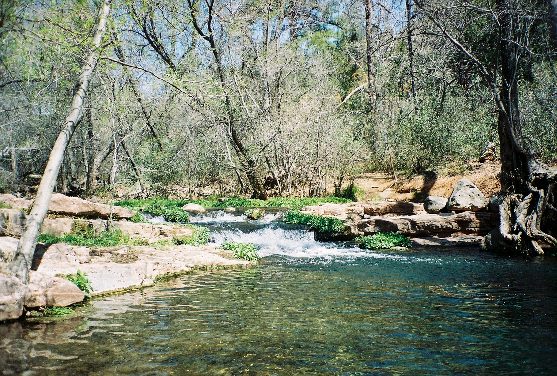
Tonto Creek
 Photo: Richard N Horne, CC BY-SA 4.0 (via Wikimedia Commons)
- 65.1 mi
- distance
- 6,491 ft
- high point
- Mar–May, Sep–Nov
- best months
Is Tonto Creek open right now?
Alert in the area
The Forest Service lists 4 alerts for Tonto National Forest.
Rattlesnake Cove Developed Recreation Site - Post Flood Recovery and Public Safety Closure
Agency alert covering Tonto National Forest · Order 3-12-01-26-36 · USFS · Tonto National Forest
Canyon Lake Drawdown Public Safety Closure
Agency alert covering Tonto National Forest · Order 03-12-00-26-22 · USFS · Tonto National Forest
No Fire Restrictions
Agency alert covering Tonto National Forest · USFS · Tonto National Forest
Roosevelt Lake Seasonal Wildlife Closure
Agency alert covering Tonto National Forest · Order 12-16-5 · USFS · Tonto National Forest
As of · Source: USFS · Tonto National Forest. Agencies don't list every closure — check before you go.
Tonto Creek is a canoeing run in Arizona's Tonto National Forest, within the Pleasant Valley Ranger District. The Forest Service manages the surrounding land, and the nearest town is Pleasant Valley, about 65 miles away. Spring and fall are the most comfortable seasons. Typical averages from a nearby weather station in Pleasant Valley run from highs around 68°F in April to about 72°F in October, with fewer wet days than the summer months, which bring highs in the upper 80s and more frequent rain. Paddlers can pair a trip here with Spring Creek, about 7 miles away, or the Pocket hike at 3.5 miles. Stewart Peak and Stewart Pocket, both about 10 miles off, offer climbing.
- PocketHiking3.5 mi
- Del ShayHiking6.3 mi
- Spring CreekCanoeing7 mi
- Mail TrailHiking7.3 mi
- The AltarRock climbing9.7 mi
 Stewart PeakRock climbingPhoto: https://www.flickr.com/photos/cogdog/, CC BY-SA 2.0 (via Wikimedia Commons)9.8 mi
- Stewart PocketRock climbingPhoto: https://www.flickr.com/photos/cogdog/, CC BY-SA 2.0 (via Wikimedia Commons)9.8 mi
- Hippy DomeRock climbing9.8 mi
Source: Roamze catalog (indexable pages within 10 miles, PostGIS distance)
 East Verde RiverCanoeing · ~32 min drivePhoto: Richard N Horne, CC BY-SA 4.0 (via Wikimedia Commons)
- Indian Point Boating SiteBoat launch · ~38 min drive
- Cholla CampgroundStand up paddleboarding · ~42 min drive
 Fossil CreekCanoeing · ~54 min drivePhoto: Gonzo fan2007, CC BY-SA 3.0 (via Wikimedia Commons)
- Woods Canyon Lake Area Boating SiteBoat launch · ~40 min drive
- Schoolhouse CampgroundStand up paddleboarding · ~55 min drive
 Verde RiverCanoeing · ~1h 7m drivePhoto: Jennifer Horn, Public domain (via Wikimedia Commons)
- Willow Springs Boat LaunchBoat launch · ~43 min drive
 Chevelon CreekCanoeing · ~1h 25m drivePhoto: Alan Levine from Strawberry, United States, CC BY 2.0 (via Wikimedia Commons)
- Cholla Boating SiteBoat launch · ~43 min drive
Also worth it near here
Best time to visit Tonto Creek
Best months: March–May and September–November. Best months have typical highs of 55–85 °F, lows of 30 °F or warmer (32 °F where the station doesn't record snow), at most one snowy day and no more than 12 wet days.
Jan
53° / 25°
5 wet
Feb
56° / 27°
5 wet · 1 snow
Mar
61° / 31°
5 wet
Apr
68° / 36°
3 wet
May
76° / 42°
3 wet
Jun
86° / 49°
3 wet
Jul
88° / 59°
9 wet
Aug
87° / 59°
10 wet
Sep
82° / 52°
6 wet
Oct
72° / 40°
3 wet
Nov
62° / 30°
3 wet
Dec
52° / 25°
4 wet
Typical high / low (°F) and days with rain or snow, 1991–2020. Measured at Pleasant Valley, AZ, 14.2 mi away at 5,183 ft. The station sits about 1,300 ft lower than this place, so expect it a little cooler here. Source: NOAA NCEI U.S. Climate Normals 1991–2020.

