Free — you'll pick up right here.
Watch this trail
Sign up to watch it — saving subscribes you to gate, closure and report changes.
Arizona
Half Moon
8.3 mi
Distance
415 ft
Gain
2h 58m
Time
We don't cover this trail yet
No agency boundary, access route or field report is mapped to it — so there is no verdict, and we won't guess. We'll tell you the moment this trail has something to say.
Nobody's filed a report here yet — be the first.
Why you'll love it
Here's your day, mapped
Half Moon
AI-suggested draft · review before you go
Meals
Gear for the day
Elevation & route
- Distance
- 8.3 mi
- Elevation gain
- 415 ft
- Highest point
- 4,190 ft
- Lowest point
- 3,718 ft
Photos
Directions & GPX
Permits & access
- Managing agency
- Forest Service
- Bikes
- no
About this trail
Half Moon is an 8.28-mile out-and-back trail in Arizona managed by the Forest Service. The trail gains 415 feet of elevation.
Add to a trip & share
Keep exploring — more trails worth the drive
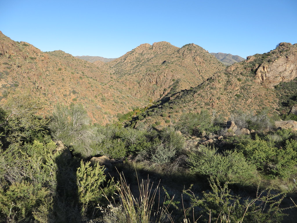 Photo: Ken Lund, CC BY-SA 2.0 (via Flickr)
Diamond
~30 min drive
Diamond is a 4.22-mile out-and-back trail in Arizona with 749 ft of elevation gain.
 Photo: Coconino NF Photography, CC BY-SA 2.0 (via Flickr)
Redrock
~31 min drive
1.84-mile out-and-back trail in Arizona with 616 ft elevation gain.
Barnhardt
~2 min drive
11.74-mile out-and-back trail in Arizona with 1,864 ft gain.
Arizona Trail
~16 min drive
A 15.23-mile out-and-back trail in Arizona that connects to Passage 42, ideal for a full-day hiking adventure.
Y Bar
~2 min drive
3.66-mile out-and-back trail in Arizona with 1,070 ft gain.
 Photo: cogdogblog, CC BY 2.0 (via Flickr)
Bolder Trail
~20 min drive
2.58-mile loop in Arizona with 325 ft elevation gain and loss.
Deer Creek
~8 min drive
17.20-mile out-and-back trail in Arizona with 3,612 ft elevation gain.
Rock Creek
~6 min drive
8.21-mile out-and-back trail in Arizona with 2,643 ft elevation gain.
Lost Trail #279
~13 min drive
0.84-mile out-and-back trail in Arizona with 710 ft elevation gain
Fisher
~9 min drive
6.12-mile out-and-back trail in Arizona with 784 ft gain.
Also worth it near here
Restroom
~10 min drive
Elephant Head Tank
~17 min drive
 Photo: https://www.flickr.com/photos/cogdog/, CC BY-SA 2.0 (via Wikimedia Commons)
Tonto Buttress
~19 min drive
 Photo: Richard N Horne, CC BY-SA 4.0 (via Wikimedia Commons)
East Verde River
~21 min drive
 Photo: Rednelson, CC BY-SA 3.0 (via Wikimedia Commons)
Tonto Natural Bridge
~25 min drive
