
Sand Flat
Campground
2.3 mi from the trail
 Photo: GSEC, CC BY 2.0 (via Flickr)
Clark Fork is a hard hike in California's Stanislaus National Forest, within the Summit Ranger District. The trail is an out-and-back that climbs from about 6,450 feet to about 8,887 feet, a total gain of 2,545 feet over roughly 14 miles. The Forest Service manages the land, and the route is natural-surfaced and open year-round. Horses are allowed, but bikes are not. Disaster Creek lies just 0.1 mile away, and Clark Fork Campground is about 2 miles off. Sand Flat and Eureka Valley campgrounds are within about 6 miles. For more time on foot, the Columns of the Giants climbing area is about 6 miles away. Paddlers can reach the East Fork Carson River, roughly 8 miles from the trail.
Where it is: Summit Ranger District · Stanislaus National Forest
Near: Strawberry
Been here? Tell people how it was.
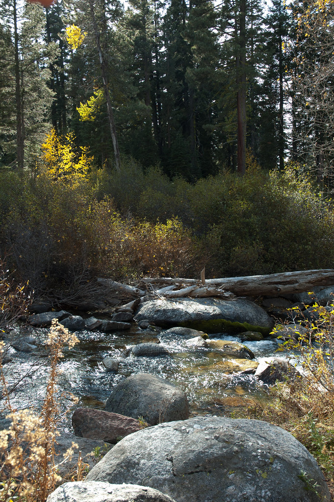 Disaster CreekHikingPhoto: Chris Mayer, CC BY 2.0 (via Flickr)0.1 mi
 Columns of the GiantsRock climbingPhoto: GSEC, CC BY 2.0 (via Flickr)6.1 mi
 East Fork Carson RiverCanoeingPhoto: Matkatamiba, CC BY-SA 4.0 (via Wikimedia Commons)8.1 miColumns of the Giants TrailHikingPhoto: GSEC, CC BY 2.0 (via Flickr)~11 min drive
 6N06 SNOW TRAILHikingPhoto: sdold, CC BY-SA 3.0 (via Wikimedia Commons)~13 min drive
 Corral ValleyHikingPhoto: jfdervin, CC BY-SA 2.0 (via Flickr)~15 min drive
 Relief Reservoir TrailHikingPhoto: farktronix, CC BY 2.0 (via Flickr)~15 min drive
 Stanislaus PeakHikingPhoto: Moo.The.Cow, CC BY 2.0 (via Flickr)~13 min drive
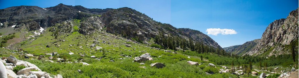 Blue CanyonHikingPhoto: zoxcleb, CC BY-SA 2.0 (via Flickr)~14 min drive
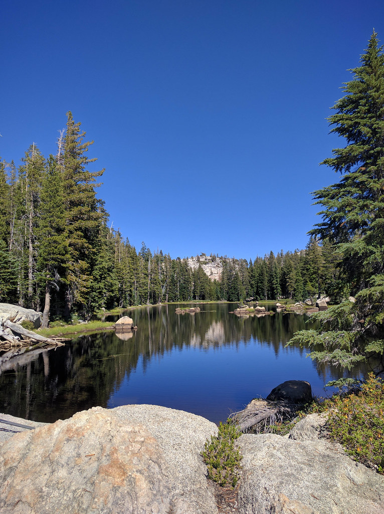 Pacific CreekHikingPhoto: npdoty, CC BY 2.0 (via Flickr)~17 min drive
Daily highs and lows, wind and the chance of precipitation at Start for the next 7 days, from the Open-Meteo model.
Questions about Clark Fork: conditions, access, timing. Answers say when something isn't known.
Sand Flat
Campground
Alpine County Museum
Museum
Places © OpenStreetMap contributors, Places © Overture Maps Foundation
More in Bear Valley