Daisy Pass Blue Lake
 Photo: Kyle Watson Photography, CC BY-SA 2.0 (via Flickr)
At a glance
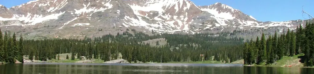
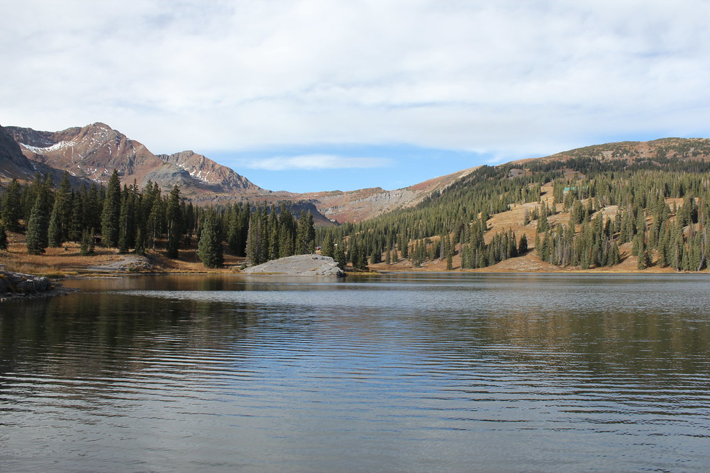
Daisy Pass Blue Lake is a short, easy hike in Colorado's Raggeds Wilderness, part of the Gunnison Ranger District of the Grand Mesa, Uncompahgre and Gunnison National Forests. The Forest Service manages the land, and the nearest town is Irwin, about 3 miles away. The trail is an out-and-back of about 0.3 miles, with a one-way climb of about 100 feet from a low point of roughly 10,980 feet to a high of about 11,088 feet. The surface is natural, and the route is open to horses. Bikes are not allowed. For more time in the area, Daisy Pass and Scarp are mountain biking trails within about a mile and a half. Lake Irwin and Poverty Gulch Camping Area offer camping within about 3 miles.
- round trip
- 0.3 mi
- climb
- 104 ft
- high point
- 11,088 ft
- route
- Out and back
Where it is: Raggeds Wilderness · Gunnison Ranger District
Near: Crested Butte
Been here? Tell people how it was.
- Daisy PassMountain biking0.9 mi
- ScarpMountain biking1.3 mi
 Lake IrwinCampingPhoto: Recreation.gov (RIDB) / public domain2.4 mi
- Poverty Gulch Camping AreaCamping3.2 mi
- Ruby Anthracite CreekCanoeing3.7 mi
 Slate RiverCanoeingPhoto: Jeffrey Beall, CC BY 3.0 (via Wikimedia Commons)6.3 mi
- Crested ButteRock climbing6.9 mi
- Skyland BouldersRock climbing8.2 mi
 Upper Peeler LakesHikingPhoto: Kyle Watson Photography, CC BY-SA 2.0 (via Flickr)~3 min drive
 ScarpHikingPhoto: Jeffrey Beall, CC BY-SA 2.0 (via Flickr)~3 min drive
 Oh-Be-JoyfulHikingPhoto: supercraigtalbert, CC BY 2.0 (via Flickr)~6 min drive
- Irwin Lake TrailHikingPhoto: Jeffrey Beall, CC BY-SA 2.0 (via Flickr)~5 min drive
- Ridge 70HikingPhoto: Jeffrey Beall, CC BY-SA 2.0 (via Flickr)~3 min drive
 Gothic Mountain TrailHikingPhoto: Jeffrey Pang from Berkeley, CA, USA, CC BY 2.0 (via Wikimedia Commons)~10 min drive
- Coal Train TrailHikingPhoto: supercraigtalbert, CC BY 2.0 (via Flickr)~8 min drive
 Yule PassHikingPhoto: GSEC, CC BY 2.0 (via Flickr)~10 min drive
 Beckwith BenchHikingPhoto: indigoprime, CC BY 2.0 (via Flickr)~11 min drive
 SnodgrassHikingPhoto: Kyle Watson Photography, CC BY-SA 2.0 (via Flickr)~12 min drive
Also worth it near here
 Purple PeakSummitPhoto: Scott Krankkala, CC BY 2.0 (via Wikimedia Commons)~1 min drive
 Kebler Wagon Trail 606Mountain bikingPhoto: John Sowell, CC BY-SA 4.0 (via Wikimedia Commons)~7 min drive
 Slate River RoadCross-country skiingPhoto: Sheila Sund from Salem, United States, CC BY 2.0 (via Wikimedia Commons)~8 min drive
- Campsite WG 46CampingPhoto: Sheila Sund from Salem, United States, CC BY 2.0 (via Wikimedia Commons)~8 min drive
Conditions and forecast
Caution at last checkAgency alerts are in effect for this areaUSFS · checked 19 h agoDaily highs and lows, wind and the chance of precipitation at Start for the next 7 days, from the Open-Meteo model.
Ask about this place
Questions about Daisy Pass Blue Lake: conditions, access, timing. Answers say when something isn't known.
Go with a guide
- Mineral Belt Trail Guided WalkNexPM AI · $25 per person · 50 mi away
- Maroon Bells Guide and Outfitters21 mi away
