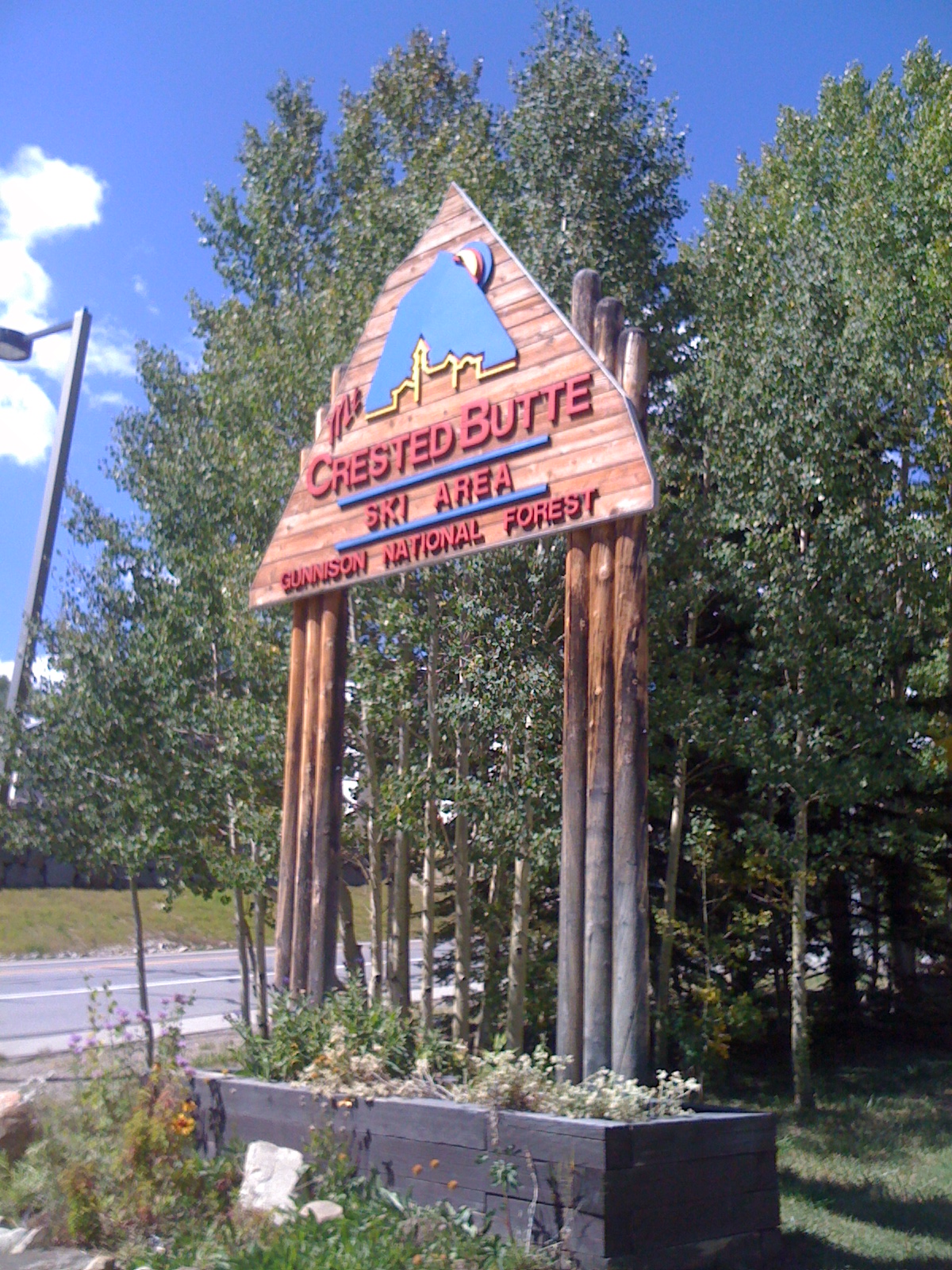
Snodgrass
 Photo: Kyle Watson Photography, CC BY-SA 2.0 (via Flickr)
- 1.6 mi
- round trip
- 100 ft
- climb
- 9,990 ft
- high point
- Out and back
- route
- Jun–Aug
- best months
Snodgrass Trail is a short out-and-back hike located in Colorado near the town of Colorado, within Routt National Forest's Hahns Peak/Bears Ears Ranger District. At 1.6 miles round trip, this is an accessible option for hikers seeking a brief outing in the northern Colorado Rockies. The trail is managed by the U.S. Forest Service and provides access to the scenic landscapes characteristic of the Hahns Peak/Bears Ears area. This region is known for its rugged peaks and diverse forest ecosystems typical of the Medicine Bow-Routt National Forest system. Given the trail's short distance, Snodgrass works well for families, those with limited time, or anyone looking for a quick nature walk. The out-and-back route means you'll retrace your steps on the return journey. For current conditions, seasonal closures, and detailed trailhead directions, contact the Hahns Peak/Bears Ears Ranger District directly or check the Routt National Forest website. Spring runoff and winter snow may affect trail accessibility depending on the season.
Go with a guide
- Mineral Belt Trail Guided WalkRoamze · $25 per person · 43 mi away
- Maroon Bells Guide and Outfitters18 mi away
Best time to go · Jun–Aug
Best time to visit Snodgrass
Best months: June–August. Best months have typical highs of 55–85 °F, lows of 30 °F or warmer (32 °F where the station doesn't record snow), at most one snowy day and no more than 12 wet days.
Jan
26° / -7°
12 wet
Feb
29° / -2°
11 wet
Mar
38° / 7°
10 wet
Apr
47° / 19°
9 wet
May
58° / 28°
8 wet
Jun
70° / 34°
7 wet
Jul
76° / 40°
10 wet
Aug
74° / 38°
12 wet
Sep
66° / 31°
9 wet
Oct
54° / 22°
8 wet
Nov
39° / 9°
9 wet
Dec
27° / -4°
11 wet
Typical high / low (°F) and days with rain or snow, 1991–2020. Measured at Crested Butte, CO, 3 mi away at 8,867 ft. The station sits about 1,100 ft lower than this place, so expect it a little cooler here. This station doesn't record snowfall. Source: NOAA NCEI U.S. Climate Normals 1991–2020.
Keep exploring — more trails worth the drive
 Photo: Alissa Walker, CC BY-SA 2.0 (via Wikimedia Commons)
Snodgrass Trail #590
Next door
4.72-mile out-and-back trail in Colorado with 2,378 ft elevation gain and loss.
Photo: Kyle Watson Photography, CC BY-SA 2.0 (via Flickr)Snodgrass Spur 590.2A Trail
Next door
1.14-mile out-and-back trail in Colorado with 390 ft elevation gain and loss.
Photo: Alissa Walker, CC BY-SA 2.0 (via Wikimedia Commons)Teddy's Trail
~1 min drive
4.32-mile out-and-back trail in Colorado with 1,229 ft elevation gain.
 Photo: Jeffrey Pang from Berkeley, CA, USA, CC BY 2.0 (via Wikimedia Commons)
Precarious Peak
~9 min drive
Route to the summit of Precarious Peak (13,104 ft) from Rustler Gulch Trailhead.
 Photo: Charlie DeTar, CC BY-SA 3.0 (via Wikimedia Commons)
Copper Creek
~5 min drive
9.60-mile out-and-back trail in Colorado with 2,818 ft elevation gain
Photo: Kyle Watson Photography, CC BY-SA 2.0 (via Flickr)Snodgrass Spur 2A
Next door
1.26-mile out-and-back trail with 554 ft elevation gain in Colorado.
 Photo: pixellaphoto, Public Domain Dedication (CC0) (via Flickr)
Budd Trail
~4 min drive
2.58-mile out-and-back trail in Colorado with 1,924 ft elevation gain and loss.
 Photo: supercraigtalbert, CC BY 2.0 (via Flickr)
Oh-Be-Joyful
~6 min drive
9.17-mile out-and-back trail in Colorado with 1,258 ft elevation gain.
Photo: Alissa Walker, CC BY-SA 2.0 (via Wikimedia Commons)Woods Trail
~3 min drive
1.38-mile out-and-back trail in Colorado with 668 ft elevation gain/loss.
 Photo: Kyle Watson Photography, CC BY-SA 2.0 (via Flickr)
Upper Upper Loop
~5 min drive
3.79-mile out-and-back trail in Colorado with 315 ft gain and 9,394 ft max elevation.
Also worth it near here