Coosa Backcountry
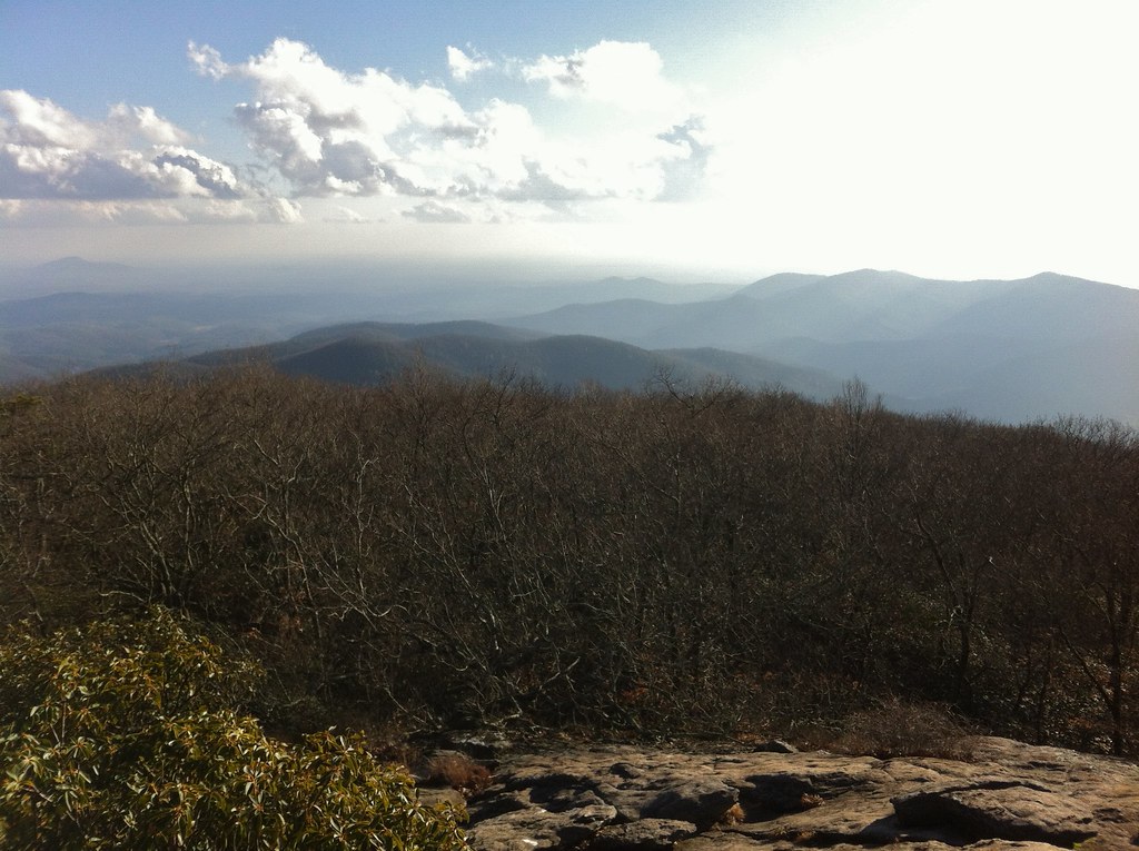 Photo: TranceMist, CC BY 2.0 (via Flickr)
At a glance
Coosa Backcountry is a hard hike of about 6 miles in the Blood Mountain Wilderness, part of the Blue Ridge Ranger District of the Chattahoochee-Oconee National Forests in north Georgia. The trail is a natural-surface out-and-back with a one-way climb of about 1,250 feet, and the round trip totals about 3,100 feet of elevation gain and loss. The route starts at roughly 3,800 feet and reaches a high point of about 4,150 feet. The trail is on Forest Service land, and the agency's records say it is not open to bikes or horses. That makes it a foot-only route for anyone planning a backpacking trip. The Coosa Backcountry Trail lies about 0.4 miles away, and the Blood Mountain climbing area and the Big Cheese climbing area are each about 0.6 miles off. For an overnight base, Lake Winfield Scott Recreation Area is about 3 miles away.
- round trip
- 6.0 mi
- climb
- 3,122 ft
- high point
- 4,157 ft
- route
- Out and back
- time
- About 2.5 hours
Where it is: Blood Mountain Wilderness · Blue Ridge Ranger District
Near: Dahlonega
Been here? Tell people how it was.
- Coosa Backcountry TrailHikingPhoto: TranceMist, CC BY 2.0 (via Flickr)0.4 mi
- big cheeseRock climbing0.6 mi
- Blood MountainRock climbing0.6 mi
- Woods Hole ShelterHikingPhoto: TranceMist, CC BY 2.0 (via Flickr)0.7 mi
 Lake Winfield Scott Recreation AreaCampingPhoto: Recreation.gov (RIDB) / public domain3 mi
- Nottely RiverCanoeing4 mi
- Dockery Lake Rec. AreaCamping5.3 mi
 Toccoa RiverCanoeingPhoto: Thomson200, CC0 (via Wikimedia Commons)8.6 mi
- Woods Hole ShelterHikingPhoto: TranceMist, CC BY 2.0 (via Flickr)~1 min drive
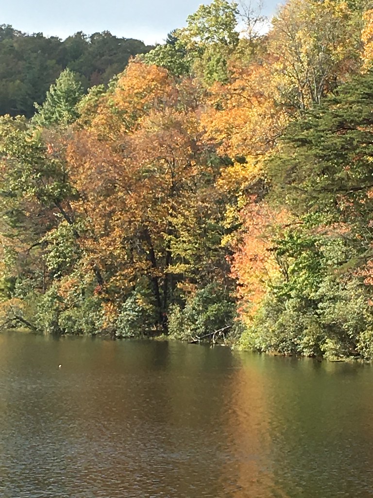 Slaughter CreekHikingPhoto: ChattOconeeNF, CC BY 2.0 (via Flickr)~2 min drive
- Yellow MountainHiking~9 min drive
- Slaughter Creek TrailHikingPhoto: ChattOconeeNF, CC BY 2.0 (via Flickr)~3 min drive
 Bryant Creek TrailHikingPhoto: ChattOconeeNF, CC BY 2.0 (via Flickr)~9 min drive
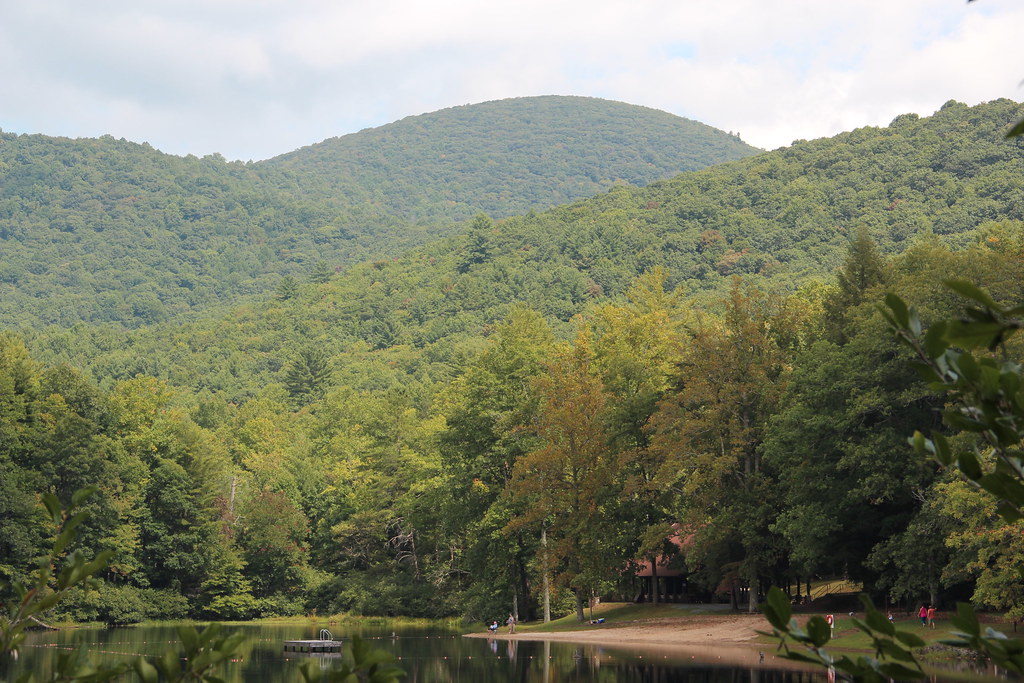 Lake Winfield ScottHikingPhoto: Thomson20192, Public Domain Dedication (CC0) (via Flickr)~3 min drive
 Raven CliffsHikingPhoto: ChattOconeeNF, CC BY 2.0 (via Wikimedia Commons)~16 min drive
- Jarrard GapHikingPhoto: Thomson20192, Public Domain Dedication (CC0) (via Flickr)~3 min drive
- Coosa Backcountry TrailHikingPhoto: TranceMist, CC BY 2.0 (via Flickr)Next door
Also worth it near here
 Blood MountainSummitPhoto: Thomson200, CC0 (via Wikimedia Commons)~1 min drive
 DeSoto FallsWaterfallPhoto: Thomsonmg2000, CC0 (via Wikimedia Commons)~4 min drive
 Hogpen GapRock climbingPhoto: Thomsonmg2000, CC0 (via Wikimedia Commons)~10 min drive
- Toccoa RiverCanoeingPhoto: Thomson200, CC0 (via Wikimedia Commons)~15 min drive
Conditions and forecast
Daily highs and lows, wind and the chance of precipitation at Start for the next 7 days, from the Open-Meteo model.
Ask about this place
Questions about Coosa Backcountry: conditions, access, timing. Answers say when something isn't known.
Local outfitters
Not on Roamze yet. Their page has how to reach them.
