Spencer Canyon
Campground
4.6 mi from the trail
Mount Lemmon is a 7.8-mile out-and-back hike in Arizona's Coronado National Forest, within the Santa Catalina Ranger District and the Pusch Ridge Wilderness. The trail rises from a low point of 7,297 feet to a high of 9,120 feet, a climb of 1,706 feet one way, and it is rated hard. The Forest Service manages the land, and the trail is natural-surfaced and not accessible. The route starts at the Mt. Lemmon/Aspen parking area, which is open year-round. Horses are allowed, so riders can take the trail on foot or on horseback. The Wilderness of Rocks Trail #44 and Mount Lemmon Trail #5 both begin about 0.1 mile from the parking. Sutherland Trail #6, a mountain biking route, is about 1.2 miles away, and the climbing area at Mystic Boulders is about 1.6 miles off.
Where it is: Pusch Ridge Wilderness · Santa Catalina Ranger District
Near: Tucson
Been here? Tell people how it was.
 Mystic BouldersRock climbingPhoto: Vagabondah, CC BY-SA 4.0 (via Wikimedia Commons)1.6 mi
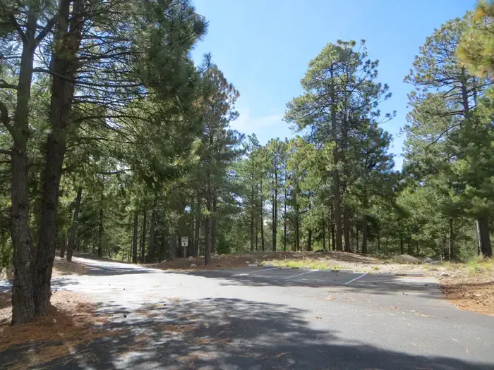 Whitetail CampgroundCampingPhoto: Recreation.gov (RIDB) / public domain5 mi
 Lemmon Rock LookoutHikingPhoto: cogdogblog, CC BY 2.0 (via Flickr)~3 min drive
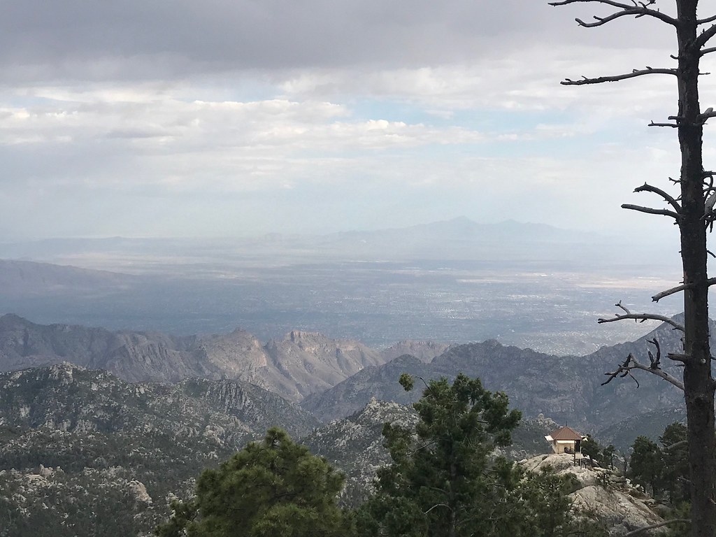 MeadowHikingPhoto: 666isMONEY ☮ ♥ & ☠, CC BY 2.0 (via Flickr)~5 min drive
 RomeroHikingPhoto: Gillfoto, CC BY-SA 4.0 (via Wikimedia Commons)~7 min drive
 Marshall Gulch Trail #3HikingPhoto: KimonBerlin, CC BY-SA 2.0 (via Flickr)~5 min drive
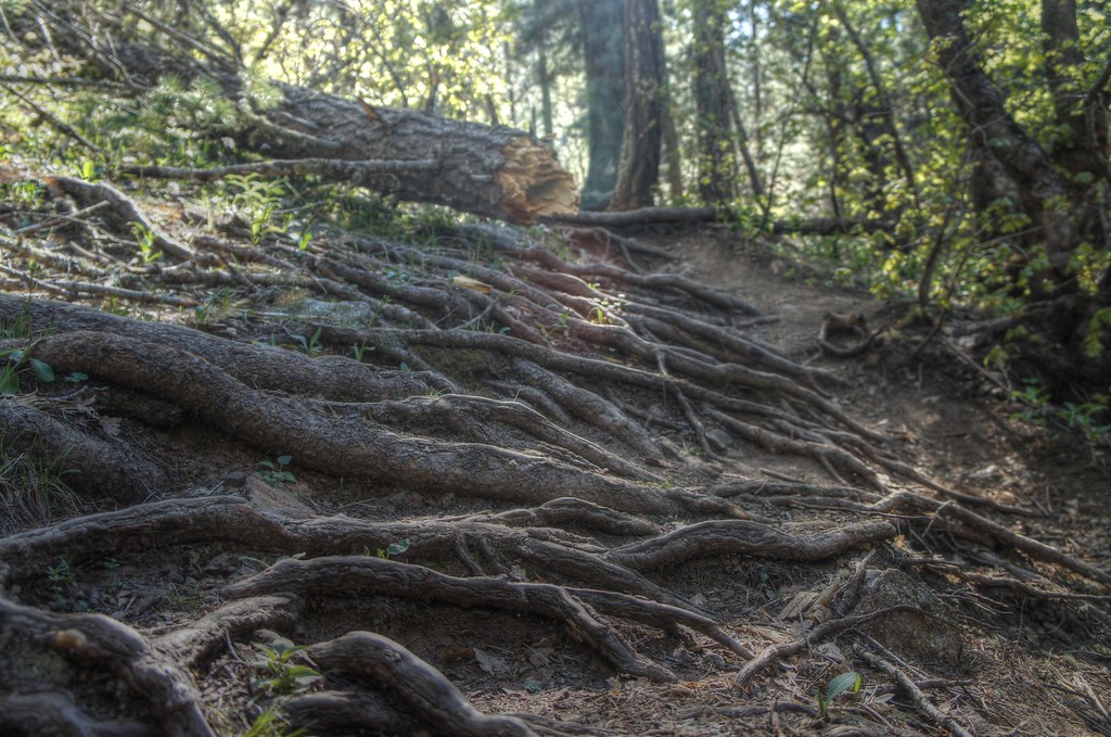 Box Spring Trail #22AHikingPhoto: dennyforreal, CC BY 2.0 (via Flickr)~6 min drive
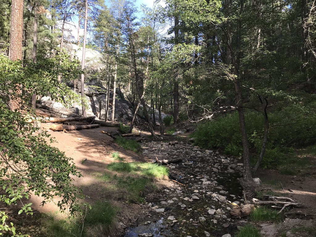 AspenHikingPhoto: 666isMONEY ☮ ♥ & ☠, CC BY 2.0 (via Flickr)~7 min drive
 Aspen DrawHikingPhoto: Joe Passe, CC BY-SA 2.0 (via Flickr)~7 min driveNorth Sabino Canyon ParkHikingPhoto: 666isMONEY ☮ ♥ & ☠, CC BY 2.0 (via Flickr)~7 min drive
 Box CampHikingPhoto: desertdutchman, CC BY 2.0 (via Flickr)~8 min driveMint SpringsHikingPhoto: KimonBerlin, CC BY-SA 2.0 (via Flickr)~5 min drive
Also worth it near here
The FortressRock climbingPhoto: cogdogblog, CC BY 2.0 (via Flickr)~3 min drive Meadow Trail #5AMountain bikingPhoto: Jacob Kannel jrkannel, CC0 (via Wikimedia Commons)~4 min drive
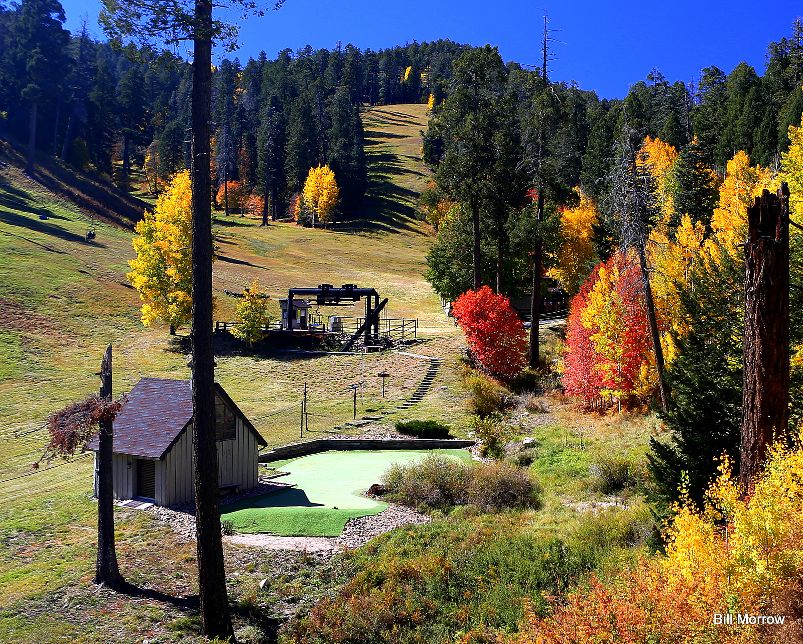 Mount Lemmon Ski ValleyDownhill skiingPhoto: Bill Morrow, CC BY 2.0 (via Wikimedia Commons)~6 min drive
Daily highs and lows, wind and the chance of precipitation at Start for the next 7 days, from the Open-Meteo model.
Questions about Mount Lemmon: conditions, access, timing. Answers say when something isn't known.
Spencer Canyon
Campground
Iron Door Restaurant
Restaurant
Places © OpenStreetMap contributors
More in Oracle