Goldfield Camp
Campground
3.1 mi from the trail
The Flatiron is a summit in Arizona's Superstition Wilderness, within the Mesa Ranger District of Tonto National Forest. The nearest town is Gold Canyon, about 5 miles away. The Superstition Ridgeline Trail and Siphon Draw Trail #53 both pass within half a mile of the summit. Siphon Draw Trail #53 is one of the closest named routes in the area. Climbers will find the Siphon Draw and Forrest Spires climbing areas each about a mile off. For an overnight base, Tortilla Campground sits about 7 miles away.
Where it is: Superstition Wilderness · Mesa Ranger District
Near: Mesa
Been here? Tell people how it was.
We don't know of a mapped trail or route to the summit of The Flatiron. Plan the approach with local maps, a guidebook or a local guide, and check conditions before you go.

 Superstition Ridgeline TrailHikingPhoto: The3dStudioDotCom, CC BY-SA 3.0 (via Wikimedia Commons)0.4 miSiphon Draw Trail #53HikingPhoto: The3dStudioDotCom, CC BY-SA 3.0 (via Wikimedia Commons)0.4 mi
 Siphon DrawRock climbingPhoto: The3dStudioDotCom, CC BY-SA 3.0 (via Wikimedia Commons)1.1 miForrest SpiresRock climbingPhoto: The3dStudioDotCom, CC BY-SA 3.0 (via Wikimedia Commons)1.2 mi
 The MotherlodeRock climbingPhoto: neepster, CC BY-SA 2.0 (via Wikimedia Commons)1.2 miPass MountainSummitPhoto: Z Glyph, CC BY 3.0 (via Wikimedia Commons)~16 min drive
 Thompson PeakSummitPhoto: GreenGibbon, CC BY-SA 3.0 (via Wikimedia Commons)~44 min drive
 Poston ButteSummitPhoto: Aznaturalist, CC BY-SA 3.0 (via Wikimedia Commons)~45 min drive
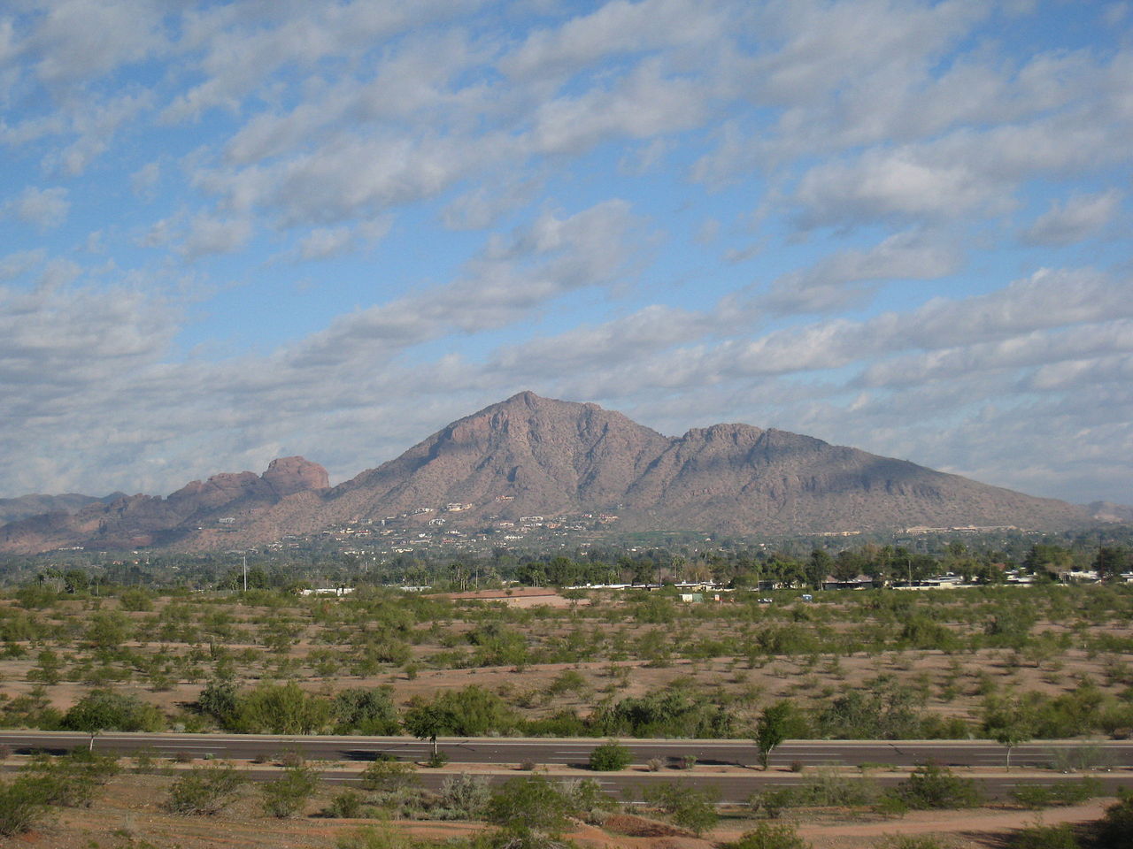 Camelback MountainSummitPhoto: Dru Bloomfield from Scottsdale, Arizona, USA, CC BY 2.0 (via Wikimedia Commons)~52 min drive
 Piestewa PeakSummitPhoto: Ted Eytan, CC BY-SA 2.0 (via Wikimedia Commons)~58 min drive
 North MountainSummitPhoto: Aznaturalist, CC BY-SA 3.0 (via Wikimedia Commons)~1h 4m drive
 Pinal PeakSummitPhoto: Zakhari Volk, CC BY-SA 4.0 (via Wikimedia Commons)~1h 5m drive
Daily highs and lows, wind and the chance of precipitation at the summit for the next 7 days, from the Open-Meteo model.
4,636 ft (1,413 m).
We don't know of a mapped trail or route to the summit. Plan the approach with local maps, a guidebook or a local guide.
Questions about The Flatiron: conditions, access, timing. Answers say when something isn't known.
Goldfield Camp
Campground
Glass Blowers
Gallery
Places © OpenStreetMap contributors, Places © Overture Maps Foundation
More in Superior