Camp Shalom
Campground
7.0 mi from the trail
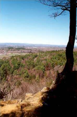
 Photo: Original uploader was Jehochman at en.wikipedia, CC BY-SA 3.0 (via Wikimedia Commons)
Talcott Mountain is a summit in Connecticut, rising to 951 feet about 2.3 miles from the town of Weatogue. It sits in a cluster of hiking trails, with the White Trail and the Talcott Mt Bypass Trail both within a mile, so it works well as a destination for a short outing or as a high point to pair with a longer walk. Late spring and early fall are the most comfortable times to go. Typical averages from a nearby weather station in Burlington show May highs around 70°F and September highs around 75°F, with July the warmest month at about 84°F. That station sits roughly 450 feet lower than the summit, so temperatures on top run cooler. The White Trail is the closest route, about 0.8 miles away, and the Talcott Mt Bypass Trail is about a mile off. Climbers can find the Firetown Road and Crown Jewel areas about 8 miles away, and paddlers can reach the East Branch Farmington River, about 9 miles out.
Near: Hartford
Best months: April–October. Best months have typical highs of 55–85 °F, lows of 30 °F or warmer (32 °F where the station doesn't record snow), at most one snowy day and no more than 12 wet days.
Jan
36°
17°
10 wet · 4 snow
Feb
39°
18°
9 wet · 3 snow
Mar
47°
26°
10 wet · 2 snow
Apr
59°
36°
11 wet
May
70°
47°
12 wet
Jun
78°
57°
11 wet
Jul
84°
62°
11 wet
Aug
82°
60°
10 wet
Sep
75°
53°
9 wet
Oct
63°
41°
10 wet
Nov
52°
32°
9 wet
Dec
41°
24°
11 wet · 2 snow
Typical high / low (°F) and days with rain or snow, 1991–2020. Measured at Burlington, CT, 7.2 mi away at 505 ft. Source: NOAA NCEI U.S. Climate Normals 1991–2020.
Been here? Tell people how it was.
We don't know of a mapped trail or route to the summit of Talcott Mountain. Plan the approach with local maps, a guidebook or a local guide, and check conditions before you go.
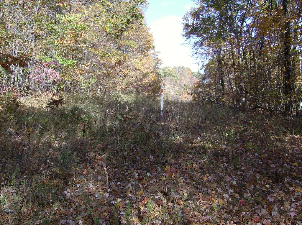 White TrailHikingPhoto: David_Morris, CC BY 2.0 (via Flickr)0.8 mi
 Talcott Mt Bypass TrailHikingPhoto: David_Morris, CC BY 2.0 (via Flickr)1 miAuer Farm Connector TrailHikingPhoto: David_Morris, CC BY 2.0 (via Flickr)1.7 mi
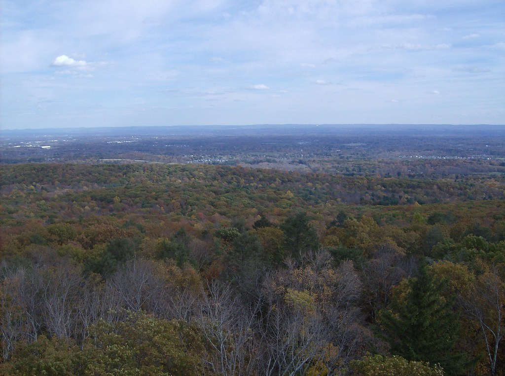 Green TrailHikingPhoto: David_Morris, CC BY 2.0 (via Flickr)1.7 mi
 East Branch Farmington RiverCanoeingPhoto: John Phelan, CC BY 4.0 (via Wikimedia Commons)9.1 mi
 Onion MountainSummitPhoto: D. Galt, CC BY 3.0 (via Wikimedia Commons)~8 min drive
 Hatchett HillSummitPhoto: 5ju989nfhs50 at English Wikipedia, CC BY 3.0 (via Wikimedia Commons)~13 min drive
 Farmington MountainSummitPhoto: Original uploader was 5ju989nfhs50 at en.wikipedia, CC BY 3.0 (via Wikimedia Commons)~14 min drive
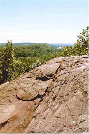 Rattlesnake MountainSummitPhoto: 5ju989nfhs50 at English Wikipedia, CC BY 3.0 (via Wikimedia Commons)~15 min drive
 Pinnacle RockSummitPhoto: Janusz1993, CC BY-SA 4.0 (via Wikimedia Commons)~16 min drive
 Peak MountainSummitPhoto: 5ju989nfhs50 at English Wikipedia, CC BY 3.0 (via Wikimedia Commons)~18 min drive
 Bradley MountainSummitPhoto: Morrowlong, CC BY-SA 3.0 (via Wikimedia Commons)~20 min drive
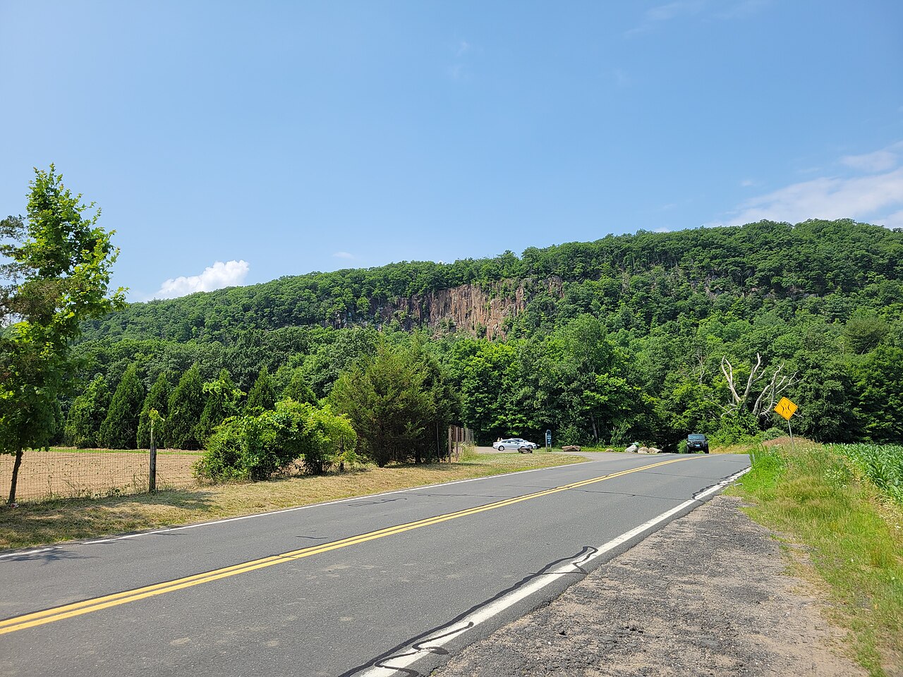 Manitook MountainSummitPhoto: John Phelan, CC BY 4.0 (via Wikimedia Commons)~20 min drive
 West Suffield MountainSummitPhoto: 5ju989nfhs50 at English Wikipedia, CC BY 3.0 (via Wikimedia Commons)~22 min drive
 Meeting House HillSummitPhoto: John Phelan, CC BY-SA 3.0 (via Wikimedia Commons)~23 min drive
Daily highs and lows, wind and the chance of precipitation at the summit for the next 7 days, from the Open-Meteo model.
951 ft (290 m).
We don't know of a mapped trail or route to the summit. Plan the approach with local maps, a guidebook or a local guide.
Questions about Talcott Mountain: conditions, access, timing. Answers say when something isn't known.
Camp Shalom
Campground
 If it rainsDaderot, Public domain · Wikimedia Commons
A. Everett Austin House
Museum
Places © OpenStreetMap contributors · Photos: Daderot, Public domain (commons)
More in Middletown