Bear Creek Campground
Campground
Campground · 5.6 mi from the trail
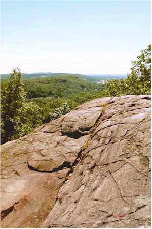 Photo: 5ju989nfhs50 at English Wikipedia, CC BY 3.0 (via Wikimedia Commons)
Rattlesnake Mountain is a summit in Capitol County, Connecticut, rising to about 758 feet. The nearest town is New Britain, about 3 miles away. Late spring and early fall are the most comfortable times to visit. Typical averages from a nearby weather station in Burlington show May highs around 70°F and September highs around 75°F, with July the warmest month at about 84°F. The mountain sits right beside a cluster of climbing areas, including Rattlesnake Cliff, Green Wall and Cave Wall, each about 0.1 mile away. The Yellow Trail is about 0.6 mile off, and the Mountain Spring Nature Trail is about 2.3 miles away.
Bear Creek Campground
Campground
 If it rainsDaderot, CC BY-SA 3.0 · Wikimedia Commons
Places © OpenStreetMap contributors, Places © Overture Maps Foundation · Photos: Daderot, CC BY-SA 3.0 (commons)
More in MiddletownDaily highs and lows, wind and the chance of precipitation at the summit for the next 7 days, from the Open-Meteo model.
Elevation from USGS 3D Elevation Program terrain data (about 10 m resolution).
We don't know of a mapped trail or route to the summit of Rattlesnake Mountain. Plan the approach with local maps, a guidebook or a local guide, and check conditions before you go.
758 ft (231 m).
We don't know of a mapped trail or route to the summit. Plan the approach with local maps, a guidebook or a local guide.
 Yellow TrailHikingPhoto: ragesoss, CC BY-SA 2.0 (via Flickr)0.6 mi
 Quinnipiac RiverCanoeingPhoto: Arthur Dutra IV, CC BY-SA 2.5 (via Wikimedia Commons)6.9 mi
Source: Roamze catalog (indexable pages within 10 miles, PostGIS distance)
 Pinnacle RockSummit · ~1 min drivePhoto: Janusz1993, CC BY-SA 4.0 (via Wikimedia Commons)
 Farmington MountainSummit · ~1 min drivePhoto: Original uploader was 5ju989nfhs50 at en.wikipedia, CC BY 3.0 (via Wikimedia Commons)
 Bradley MountainSummit · ~5 min drivePhoto: Morrowlong, CC BY-SA 3.0 (via Wikimedia Commons)
 Ragged MountainSummit · ~10 min drivePhoto: 5ju989nfhs50 at English Wikipedia, CC BY 3.0 (via Wikimedia Commons)Short MountainSummit · ~12 min drivePhoto: 5ju989nfhs50 at English Wikipedia, CC BY 3.0 (via Wikimedia Commons)
 Talcott MountainSummit · ~15 min drivePhoto: Original uploader was Jehochman at en.wikipedia, CC BY-SA 3.0 (via Wikimedia Commons)
 Lamentation MountainSummit · ~16 min drivePhoto: Morrowlong, CC BY-SA 3.0 (via Wikimedia Commons)
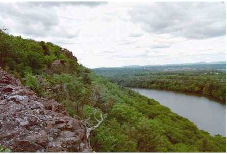 Chauncey PeakSummit · ~18 min drivePhoto: 5ju989nfhs50 at English Wikipedia, CC BY 3.0 (via Wikimedia Commons)
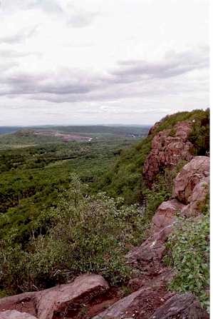 Higby MountainSummit · ~19 min drivePhoto: 5ju989nfhs50 at English Wikipedia, CC BY 3.0 (via Wikimedia Commons)
 Onion MountainSummit · ~19 min drivePhoto: D. Galt, CC BY 3.0 (via Wikimedia Commons)
Best months: April–October. Best months have typical highs of 55–85 °F, lows of 30 °F or warmer (32 °F where the station doesn't record snow), at most one snowy day and no more than 12 wet days.
Jan
36° / 17°
10 wet · 4 snow
Feb
39° / 18°
9 wet · 3 snow
Mar
47° / 26°
10 wet · 2 snow
Apr
59° / 36°
11 wet
May
70° / 47°
12 wet
Jun
78° / 57°
11 wet
Jul
84° / 62°
11 wet
Aug
82° / 60°
10 wet
Sep
75° / 53°
9 wet
Oct
63° / 41°
10 wet
Nov
52° / 32°
9 wet
Dec
41° / 24°
11 wet · 2 snow
Typical high / low (°F) and days with rain or snow, 1991–2020. Measured at Burlington, CT, 8.3 mi away at 505 ft. Source: NOAA NCEI U.S. Climate Normals 1991–2020.

