Breezy Hill
- 1,053 ft
- summit
- 2
- ways up
- Apr, Jun–Oct
- best months
Breezy Hill is a summit in Connecticut, rising to 1,053 feet about 1.7 miles from New Hartford Center. It sits among a cluster of short trails, with the Sun Wind and Woodland Trail and the Tom Perry Trail both about 0.2 miles away. Late spring and early fall are the most comfortable times to go. Typical averages from a nearby weather station in Barkhamsted show May highs around 70°F and September highs around 75°F, with July the warmest month at about 84°F. That station sits roughly 340 feet lower than the summit, so temperatures on top run a little cooler. The Barbour Woods Trail and the Arthur and Eunice Sweeton Trail are each about 0.3 miles away. Paddlers can reach the East Branch Farmington River about 1.1 miles off, and climbers will find the Pleasant Valley area about 5.2 miles away.
Conditions and forecast
Daily highs and lows, wind and the chance of precipitation at the summit and route start for the next 7 days, from the Open-Meteo model.
- Summit elevation
- 1,053 ft
Elevation from USGS 3D Elevation Program terrain data (about 10 m resolution).
- Clct Blue TrailEasyabout 0 ft of climbing0.4 mi
- Sun Wind and Woodland TrailEasyabout 69 ft of climbing0.7 mi
Compare the routes Clct Blue Trail Sun Wind and Woodland Trail Climbing About 0 ft About 69 ft Round trip 0.4 mi 0.7 mi Difficulty Easy Easy Terrain Hike Hike Map © Mapbox © OpenStreetMap contributors Questions about Breezy Hill
How tall is Breezy Hill?
1,053 ft (321 m).
How many routes go to the summit of Breezy Hill?
2: Clct Blue Trail and Sun Wind and Woodland Trail.
What is the shortest route up Breezy Hill?
Clct Blue Trail, about 0.4 mi.
- Ratlum Mountain1,082 ft · Connecticut1 route1.1 mi away
- Ragged Mountain1,040 ft · Connecticut2 routes4.3 mi away
- Sweetheart Mountain817 ft · Connecticut1 route4.5 mi away
- Pine Cone1,092 ft · Connecticut1 route6.3 mi away
- Taine Mountain906 ft · Connecticut1 route7.6 mi away
- Stony Hill380 ft · Connecticut1 route8.3 mi away
 Sun Wind and Woodland TrailHikingPhoto: Magicpiano, CC BY-SA 3.0 (via Wikimedia Commons)0.2 mi
- Tom Perry TrailHiking0.2 mi
- Barbour Woods TrailHiking0.3 mi
- Arthur and Eunice Sweeton TrailHiking0.3 mi
 East Branch Farmington RiverCanoeingPhoto: John Phelan, CC BY 4.0 (via Wikimedia Commons)1.1 mi
- Pleasant ValleyRock climbing5.2 mi
- Crown JewelRock climbing6.2 mi
- Firetown RoadRock climbing6.2 mi
Source: Roamze catalog (indexable pages within 10 miles, PostGIS distance)
 Onion MountainSummit · ~6 min drivePhoto: D. Galt, CC BY 3.0 (via Wikimedia Commons)
 Talcott MountainSummit · ~14 min drivePhoto: Original uploader was Jehochman at en.wikipedia, CC BY-SA 3.0 (via Wikimedia Commons)
 Hatchett HillSummit · ~18 min drivePhoto: 5ju989nfhs50 at English Wikipedia, CC BY 3.0 (via Wikimedia Commons)
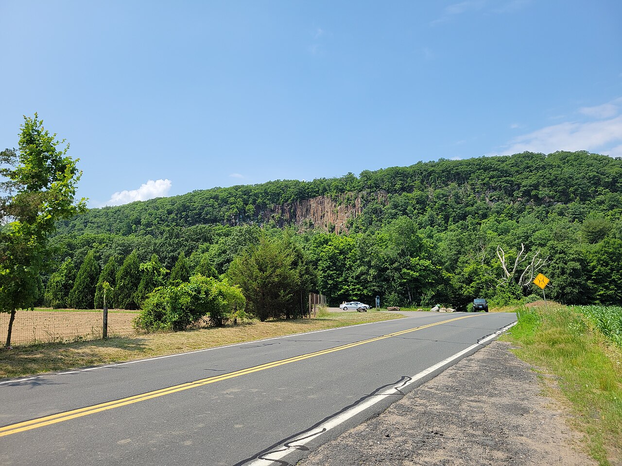 Manitook MountainSummit · ~20 min drivePhoto: John Phelan, CC BY 4.0 (via Wikimedia Commons)
 Peak MountainSummit · ~21 min drivePhoto: 5ju989nfhs50 at English Wikipedia, CC BY 3.0 (via Wikimedia Commons)
 Farmington MountainSummit · ~22 min drivePhoto: Original uploader was 5ju989nfhs50 at en.wikipedia, CC BY 3.0 (via Wikimedia Commons)
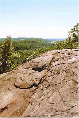 Rattlesnake MountainSummit · ~23 min drivePhoto: 5ju989nfhs50 at English Wikipedia, CC BY 3.0 (via Wikimedia Commons)
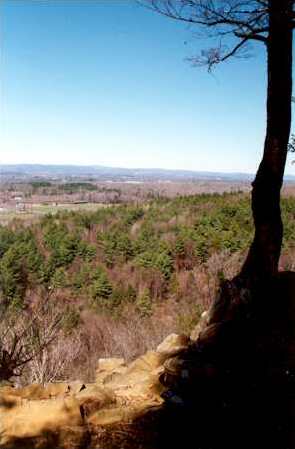 West Suffield MountainSummit · ~24 min drivePhoto: 5ju989nfhs50 at English Wikipedia, CC BY 3.0 (via Wikimedia Commons)
 Pinnacle RockSummit · ~24 min drivePhoto: Janusz1993, CC BY-SA 4.0 (via Wikimedia Commons)
 Bradley MountainSummit · ~27 min drivePhoto: Morrowlong, CC BY-SA 3.0 (via Wikimedia Commons)
Also worth it near here
Best time to visit Breezy Hill
Best months: April and June–October. Best months have typical highs of 55–85 °F, lows of 30 °F or warmer (32 °F where the station doesn't record snow), at most one snowy day and no more than 12 wet days.
Jan
34° / 14°
11 wet
Feb
37° / 15°
9 wet
Mar
46° / 24°
10 wet
Apr
59° / 35°
11 wet
May
70° / 45°
13 wet
Jun
79° / 55°
12 wet
Jul
84° / 60°
12 wet
Aug
82° / 58°
10 wet
Sep
75° / 51°
9 wet
Oct
63° / 40°
11 wet
Nov
50° / 30°
10 wet
Dec
39° / 21°
11 wet
Typical high / low (°F) and days with rain or snow, 1991–2020. Measured at Barkhamsted, CT, 3.5 mi away at 710 ft. This station doesn't record snowfall. Source: NOAA NCEI U.S. Climate Normals 1991–2020.
