Camp Shalom
Campground
Campground · 6.8 mi from the trail
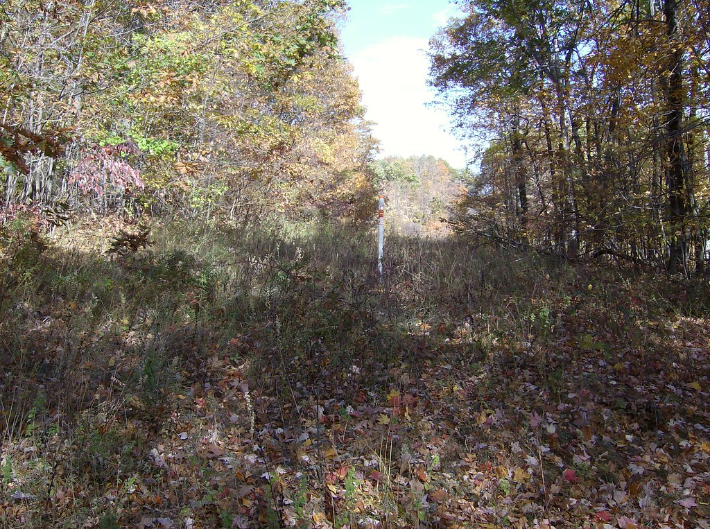 Photo: David_Morris, CC BY 2.0 (via Flickr)
Auer Farm Connector Trail is a short, easy hike in Connecticut, about 1.5 miles from the town of Case Corner. The trail is a point-to-point route of roughly a mile, with a total climb of about 167 feet from the start to the high point at 429 feet. The steepest stretch comes at about 0.66 miles in, where the grade reaches 18 percent. Late spring and early fall are the most comfortable times to go. Typical averages from a nearby weather station in Burlington put May highs around 70°F and September highs around 75°F, while July averages about 84°F and January highs sit near 36°F. Several other trails lie close by. Talcott Mt Bypass Trail is under a mile away, and White Trail and Orange Trail are both within about 2 miles. Mountain bikers can head to Weha Duro, about 2.1 miles off.
Camp Shalom
Campground
Snack Bar
Restaurant
 If it rainsDaderot, Public domain · Wikimedia Commons
A. Everett Austin House
Museum
Places © OpenStreetMap contributors · Photos: Daderot, Public domain (commons)
More in MiddletownBest months: April–October. Best months have typical highs of 55–85 °F, lows of 30 °F or warmer (32 °F where the station doesn't record snow), at most one snowy day and no more than 12 wet days.
Jan
36° / 17°
10 wet · 4 snow
Feb
39° / 18°
9 wet · 3 snow
Mar
47° / 26°
10 wet · 2 snow
Apr
59° / 36°
11 wet
May
70° / 47°
12 wet
Jun
78° / 57°
11 wet
Jul
84° / 62°
11 wet
Aug
82° / 60°
10 wet
Sep
75° / 53°
9 wet
Oct
63° / 41°
10 wet
Nov
52° / 32°
9 wet
Dec
41° / 24°
11 wet · 2 snow
Typical high / low (°F) and days with rain or snow, 1991–2020. Measured at Burlington, CT, 8.5 mi away at 505 ft. Source: NOAA NCEI U.S. Climate Normals 1991–2020.
 Photo: David_Morris, CC BY 2.0 (via Flickr)
Talcott Mt Bypass Trail
~1 min drive
1.32-mile point-to-point trail in Connecticut with 229 ft gain and 288 ft loss.
Photo: David_Morris, CC BY 2.0 (via Flickr)White Trail
~2 min drive
0.40-mile loop trail in Connecticut with 72 ft elevation gain.
HIKE
Orange-Blue Trail
~10 min drive
0.71-mile point-to-point trail in Connecticut with 387 ft gain
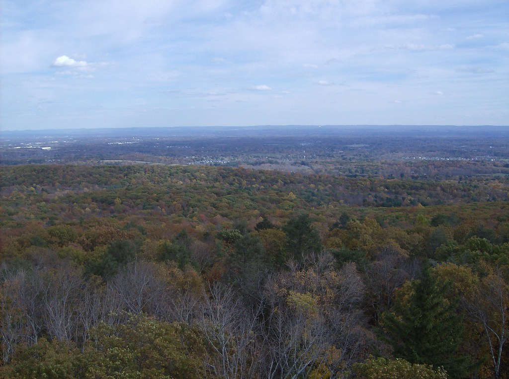 Photo: David_Morris, CC BY 2.0 (via Flickr)
Green Trail
~4 min drive
Green Trail is a 0.35-mile point-to-point trail in Connecticut.
HIKE
Purple Trail
~4 min drive
0.47-mile point-to-point trail in Connecticut with 300 ft elevation loss.
 Photo: christinejwarner, CC BY 2.0 (via Flickr)
Kenney Ridge
~7 min drive
2.44-mile out-and-back trail in Connecticut with 595 ft elevation gain
 Photo: Ragesoss, CC BY-SA 3.0 (via Wikimedia Commons)
Metacomet Trail (NET)
~7 min drive
2.78-mile out-and-back trail in Connecticut with 653 ft elevation gain
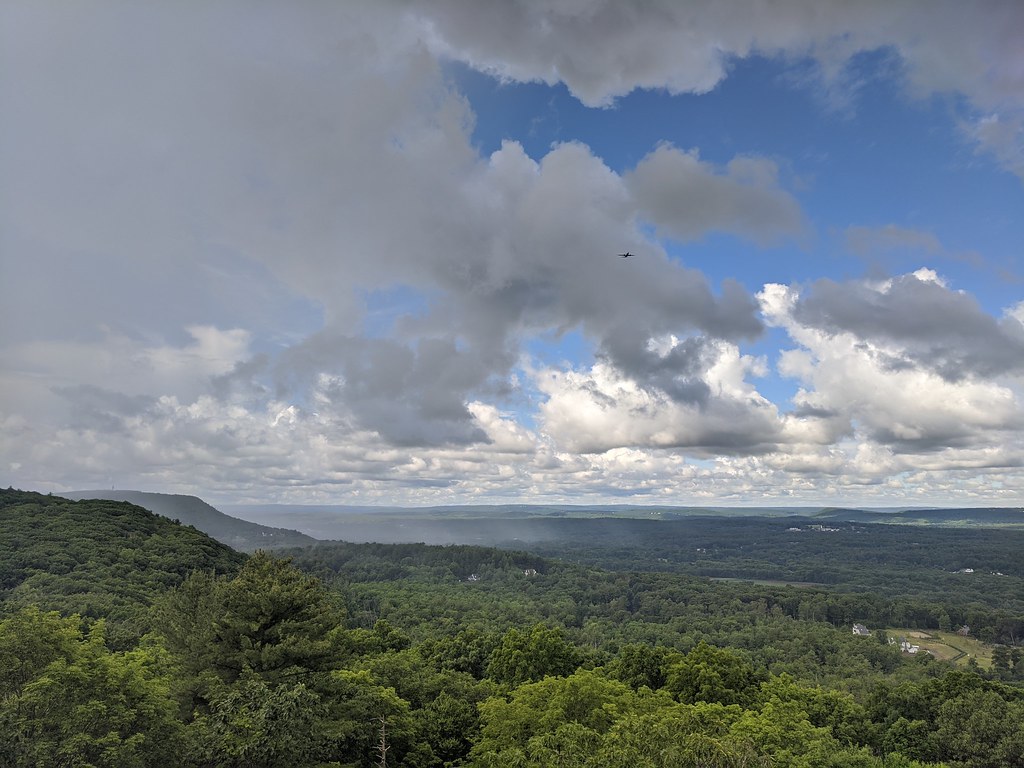 Photo: dddaag, CC BY 2.0 (via Flickr)
Aloha Trail
~8 min drive
0.55-mile loop trail in Connecticut with 87 ft elevation gain
HIKE
White Trail
~3 min drive
0.50-mile point-to-point trail in Connecticut with 205 ft gain
HIKE
Orange Trail
~3 min drive
0.45-mile point-to-point trail in Connecticut with 154 ft gain
Map and trail data © OpenStreetMap contributors

