DEEP campsite
Campground
Campground · 4.5 mi from the trail
 Photo: D. Galt, CC BY 3.0 (via Wikimedia Commons)
Onion Mountain is a summit in Connecticut, rising to 906 feet about 2 miles from West Simsbury. It sits in a cluster of short trails, with the Orange-Blue Trail passing within half a mile and the Blue and Yellow trails about 0.6 miles away. Late spring and early fall are the most comfortable times to go. Typical averages from a nearby weather station in Barkhamsted show May highs around 70°F and September highs around 75°F, with July the warmest month at about 84°F. The surrounding area offers more to do. The East Branch Farmington River, about 4 miles away, is a paddling option, and the Crown Jewel and Firetown Road climbing areas are each roughly 5 miles off.
DEEP campsite
Campground
 If it rainsDoug Kerr from Albany, NY, United States, CC BY-SA 2.0 · Wikimedia Commons
Places © OpenStreetMap contributors, Places © Overture Maps Foundation · Photos: Doug Kerr from Albany, NY, United States, CC BY-SA 2.0 (commons)
More in MiddletownDaily highs and lows, wind and the chance of precipitation at the summit for the next 7 days, from the Open-Meteo model.
Elevation from USGS 3D Elevation Program terrain data (about 10 m resolution).
We don't know of a mapped trail or route to the summit of Onion Mountain. Plan the approach with local maps, a guidebook or a local guide, and check conditions before you go.
906 ft (276 m).
We don't know of a mapped trail or route to the summit. Plan the approach with local maps, a guidebook or a local guide.
 East Branch Farmington RiverCanoeingPhoto: John Phelan, CC BY 4.0 (via Wikimedia Commons)4.3 mi
Source: Roamze catalog (indexable pages within 10 miles, PostGIS distance)
 Talcott MountainSummit · ~8 min drivePhoto: Original uploader was Jehochman at en.wikipedia, CC BY-SA 3.0 (via Wikimedia Commons)
 Hatchett HillSummit · ~14 min drivePhoto: 5ju989nfhs50 at English Wikipedia, CC BY 3.0 (via Wikimedia Commons)
 Peak MountainSummit · ~18 min drivePhoto: 5ju989nfhs50 at English Wikipedia, CC BY 3.0 (via Wikimedia Commons)
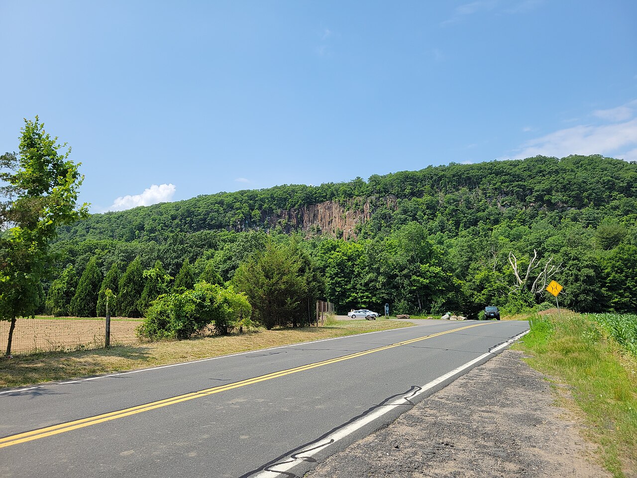 Manitook MountainSummit · ~18 min drivePhoto: John Phelan, CC BY 4.0 (via Wikimedia Commons)
 Farmington MountainSummit · ~19 min drivePhoto: Original uploader was 5ju989nfhs50 at en.wikipedia, CC BY 3.0 (via Wikimedia Commons)
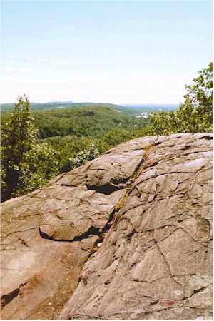 Rattlesnake MountainSummit · ~19 min drivePhoto: 5ju989nfhs50 at English Wikipedia, CC BY 3.0 (via Wikimedia Commons)
 Pinnacle RockSummit · ~21 min drivePhoto: Janusz1993, CC BY-SA 4.0 (via Wikimedia Commons)
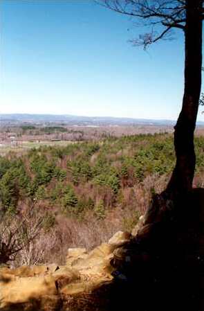 West Suffield MountainSummit · ~21 min drivePhoto: 5ju989nfhs50 at English Wikipedia, CC BY 3.0 (via Wikimedia Commons)
 Bradley MountainSummit · ~24 min drivePhoto: Morrowlong, CC BY-SA 3.0 (via Wikimedia Commons)
 Meeting House HillSummit · ~25 min drivePhoto: John Phelan, CC BY-SA 3.0 (via Wikimedia Commons)
Best months: April and June–October. Best months have typical highs of 55–85 °F, lows of 30 °F or warmer (32 °F where the station doesn't record snow), at most one snowy day and no more than 12 wet days.
Jan
34° / 14°
11 wet
Feb
37° / 15°
9 wet
Mar
46° / 24°
10 wet
Apr
59° / 35°
11 wet
May
70° / 45°
13 wet
Jun
79° / 55°
12 wet
Jul
84° / 60°
12 wet
Aug
82° / 58°
10 wet
Sep
75° / 51°
9 wet
Oct
63° / 40°
11 wet
Nov
50° / 30°
10 wet
Dec
39° / 21°
11 wet
Typical high / low (°F) and days with rain or snow, 1991–2020. Measured at Barkhamsted, CT, 6 mi away at 710 ft. This station doesn't record snowfall. Source: NOAA NCEI U.S. Climate Normals 1991–2020.

