Campground West
Campground
3.9 mi from the trail
Superstition Peak is a summit in the Superstition Wilderness, part of the Mesa Ranger District of Tonto National Forest in Arizona. The nearest town is Gold Canyon, about 3.5 miles away. The closest trails are the Hieroglyphic Trail, about half a mile away, and Hieroglyphics Trail #101, about 1.1 miles away. Climbers will find Carney Springs Wall about 1.4 miles away and Weavers Needle about 2.3 miles away.
Where it is: Superstition Wilderness · Mesa Ranger District
Near: Mesa
Been here? Tell people how it was.
We don't know of a mapped trail or route to the summit of Superstition Peak. Plan the approach with local maps, a guidebook or a local guide, and check conditions before you go.

 Hieroglyphic TrailHikingPhoto: lamblukas, CC BY 2.0 (via Flickr)0.5 mi
 Hieroglyphics Trail #101HikingPhoto: zzkt, CC BY-SA 2.0 (via Flickr)1.1 mi
 Carney Springs WallRock climbingPhoto: David Taylor from Coeur d Alene, United States, CC BY 2.0 (via Wikimedia Commons)1.4 mi
 Lost Goldmine TrailHikingPhoto: lamblukas, CC BY 2.0 (via Flickr)2 mi
 Weavers NeedleRock climbingPhoto: Deborah Lee Soltesz from Flagstaff, AZ, CC0 (via Wikimedia Commons)2.3 mi
 Nosepicker PinnaclesRock climbingPhoto: David Taylor from Coeur d Alene, United States, CC BY 2.0 (via Wikimedia Commons)2.4 miPass MountainSummitPhoto: Z Glyph, CC BY 3.0 (via Wikimedia Commons)~21 min drive
 Poston ButteSummitPhoto: Aznaturalist, CC BY-SA 3.0 (via Wikimedia Commons)~42 min drive
 Thompson PeakSummitPhoto: GreenGibbon, CC BY-SA 3.0 (via Wikimedia Commons)~49 min drive
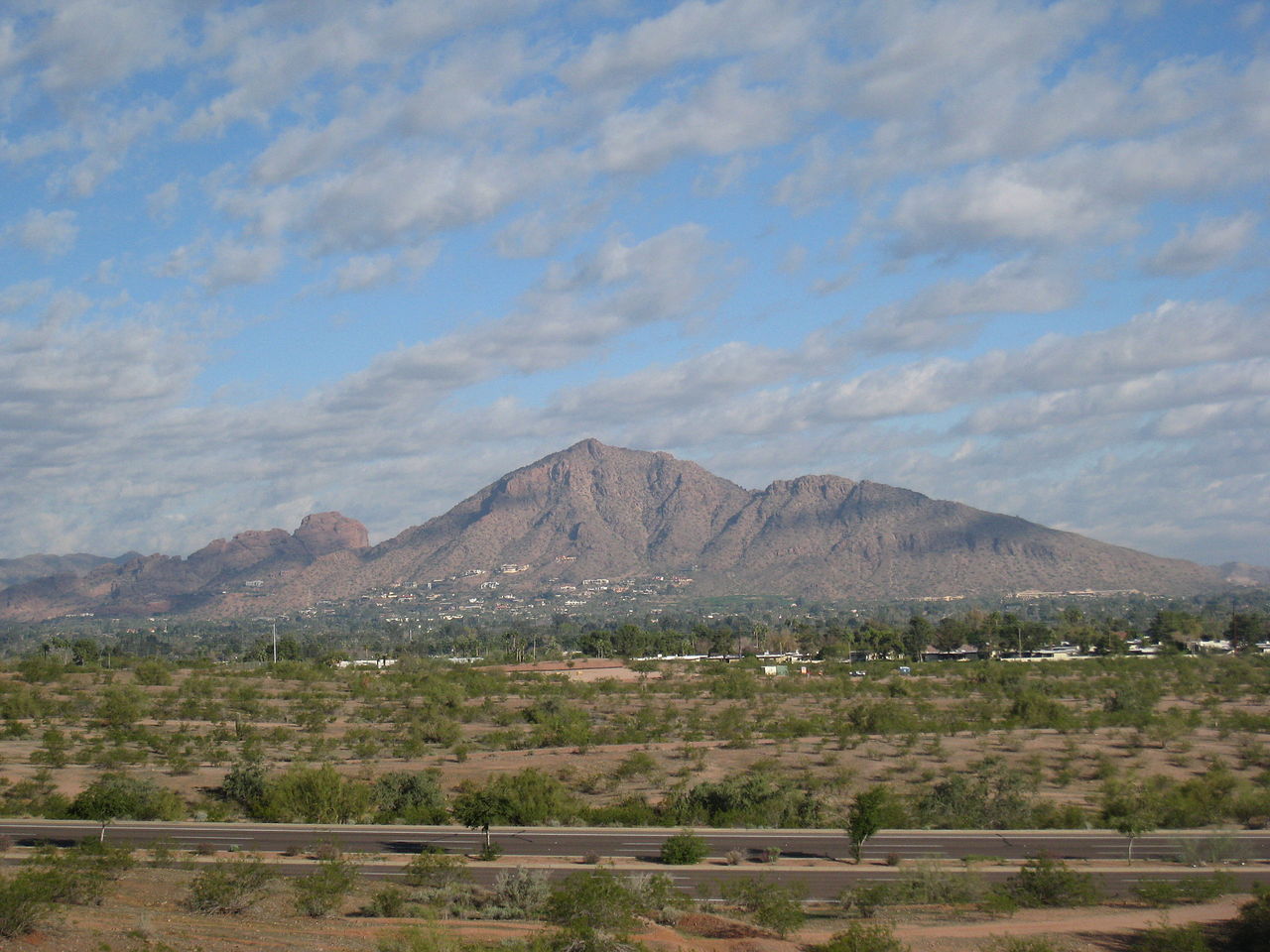 Camelback MountainSummitPhoto: Dru Bloomfield from Scottsdale, Arizona, USA, CC BY 2.0 (via Wikimedia Commons)~57 min drive
 Piestewa PeakSummitPhoto: Ted Eytan, CC BY-SA 2.0 (via Wikimedia Commons)~1h 3m drive
 North MountainSummitPhoto: Aznaturalist, CC BY-SA 3.0 (via Wikimedia Commons)~1h 10m drive
 Pinal PeakSummitPhoto: Zakhari Volk, CC BY-SA 4.0 (via Wikimedia Commons)~59 min drive
Also worth it near here
Daily highs and lows, wind and the chance of precipitation at the summit for the next 7 days, from the Open-Meteo model.
5,043 ft (1,537 m).
We don't know of a mapped trail or route to the summit. Plan the approach with local maps, a guidebook or a local guide.
Questions about Superstition Peak: conditions, access, timing. Answers say when something isn't known.
Campground West
Campground
Trails End
Attraction
Places © OpenStreetMap contributors, Places © Overture Maps Foundation
More in Superior