San Luis Peak
 Photo: Mikejonesman, CC BY-SA 3.0 (via Wikimedia Commons)
At a glance
San Luis Peak is a summit in Saguache County, Colorado, inside the La Garita Wilderness. It lies within the Gunnison Ranger District of the Grand Mesa, Uncompahgre and Gunnison National Forests, which the Forest Service manages. The nearest town is North Creede, about 8.5 miles away. Nearby routes include Stewart Creek Cutoff, about 0.8 mile away, along with Cascade Creek, San Luis Pass and Stewart Creek, all within a few miles of the summit.
- summit
- 14,018 ft
- ways up
- 3
- managed by
- Forest Service
Where it is: La Garita Wilderness · Gunnison Ranger District
Near: City of Creede
Been here? Tell people how it was.
- San Luis PeakModerateabout 1,388 ft of climbing2.7 mi round trip
- Stewart CreekHardFrom STEWART CREEK (about 11,221 ft) · about 2,856 ft of climbing13.1 mi round trip
- Baldy AltoExpertFrom West Willow Creek Trailhead · about 7,028 ft of climbing15.7 mi round trip
Compare the routes San Luis Peak Stewart Creek Baldy Alto Starts at — STEWART CREEK West Willow Creek Trailhead Climbing About 1,388 ft About 2,856 ft About 7,028 ft Round trip 2.7 mi 13.1 mi 15.7 mi Difficulty Moderate Hard Expert Terrain Hike Hike Hike Season Year-round Year-round — Map © Mapbox © OpenStreetMap contributors - Baldy Alto13,696 ft · Colorado1 route1.4 mi away
- Organ Mountain13,803 ft · Colorado1 route2.0 mi away
- Mesa Mountain12,958 ft · Colorado1 route17 mi away
- Metroz Mountain11,899 ft · Colorado1 route26 mi away
 Redcloud Peak14,034 ft · Colorado2 routes27 mi awayPhoto: Mitchtobin, CC BY-SA 4.0 (via Wikimedia Commons)
 Carson Peak13,659 ft · Colorado1 route27 mi awayPhoto: Jane Nearing, CC BY 2.0 (via Wikimedia Commons)
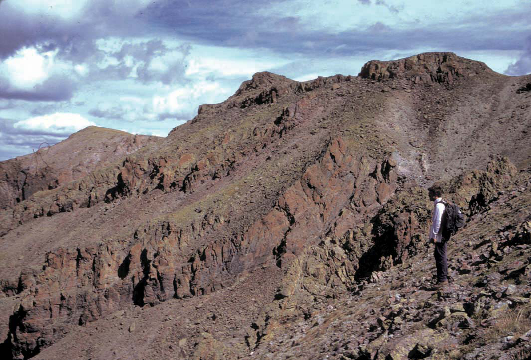 Stewart PeakSummitPhoto: P.W. Lipman, Public domain (via Wikimedia Commons)~4 min drive
 Bristol HeadSummitPhoto: woodleywonderworks, CC BY 2.0 (via Wikimedia Commons)~26 min drive
 Calf Creek PlateauSummitPhoto: John Sowell, CC BY-SA 4.0 (via Wikimedia Commons)~31 min drive
 Cannibal PlateauSummitPhoto: John Sowell, CC BY-SA 4.0 (via Wikimedia Commons)~31 min drive
 Cochetopa DomeSummitPhoto: John Sowell, CC BY-SA 4.0 (via Wikimedia Commons)~35 min drive
 Agua Ramon MountainSummitPhoto: Jeffrey Beall, CC BY 4.0 (via Wikimedia Commons)~44 min drive
- Redcloud PeakSummitPhoto: Mitchtobin, CC BY-SA 4.0 (via Wikimedia Commons)~46 min drive
- Carson PeakSummitPhoto: Jane Nearing, CC BY 2.0 (via Wikimedia Commons)~47 min drive
 Sunshine PeakSummitPhoto: Jane Nearing, CC BY 2.0 (via Wikimedia Commons)~47 min drive
 Uncompahgre PeakSummitPhoto: Gregstoner88 (talk · contribs), CC BY-SA 3.0 (via Wikimedia Commons)~51 min drive
Also worth it near here
 Dry Gulch TrailHikingPhoto: aspidoscelis, Public Domain Dedication (CC0) (via Flickr)~18 min drive
 Mountain Views at Rivers Edge RV ParkCampingPhoto: Michael Harbour, CC BY-SA 3.0 (via Wikimedia Commons)~20 min drive
- McDonough Reservoir Fishing SiteLake fishing~20 min drive
- Spring Creek Pass Snowmo/skiCross-country skiing~23 min drive
Conditions and forecast
Caution at last checkAgency alerts are in effect for this areaUSFS · checked 23 h agoDaily highs and lows, wind and the chance of precipitation at the summit and route start for the next 7 days, from the Open-Meteo model.
Questions about San Luis Peak
How tall is San Luis Peak?
14,018 ft (4,273 m).
How many routes go to the summit of San Luis Peak?
3: San Luis Peak, Stewart Creek and Baldy Alto.
What is the shortest route up San Luis Peak?
San Luis Peak, about 2.7 mi round trip.
Where do the routes up San Luis Peak start?
Stewart Creek starts at STEWART CREEK (about 11,221 ft). Baldy Alto starts at West Willow Creek Trailhead.
When is the best time to climb San Luis Peak?
Year-round.
Ask about this place
Questions about San Luis Peak: conditions, access, timing. Answers say when something isn't known.
