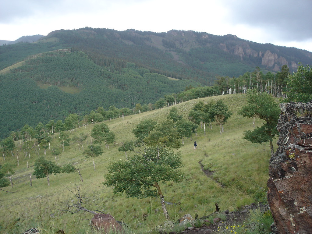
Colorado · Summit
Cannibal Plateau
 Photo: John Sowell, CC BY-SA 4.0 (via Wikimedia Commons)
- 12,525 ft
- summit
- Bureau of Land Management
- managed by
Loading this week's forecast
Cannibal Plateau is a summit in Hinsdale County, Colorado, at about 12,525 feet. It sits in the Powderhorn Wilderness.
Conditions and forecast
Daily highs and lows, wind and the chance of precipitation at the summit for the next 7 days, from the Open-Meteo model.
- Summit elevation
- 12,525 ft
- Land manager
- Bureau of Land Management
Elevation from USGS 3D Elevation Program terrain data (about 10 m resolution).
We don't know of a mapped trail or route to the summit of Cannibal Plateau. Plan the approach with local maps, a guidebook or a local guide, and check conditions before you go.
Questions about Cannibal Plateau
How tall is Cannibal Plateau?
12,525 ft (3,818 m).
Is there a trail to the top of Cannibal Plateau?
We don't know of a mapped trail or route to the summit. Plan the approach with local maps, a guidebook or a local guide.
- Silver Mountain13,710 ft · Colorado1 route12 mi away
 Uncompahgre Peak14,309 ft · Colorado1 route13 mi awayPhoto: Gregstoner88 (talk · contribs), CC BY-SA 3.0 (via Wikimedia Commons)
- Sheep Mountain13,169 ft · Colorado1 route13 mi away
- Broken Hill13,245 ft · Colorado1 route14 mi away
 Matterhorn Peak13,576 ft · Colorado1 route15 mi awayPhoto: John Sowell, CC BY-SA 4.0 (via Wikimedia Commons)
 Redcloud Peak14,034 ft · Colorado2 routes16 mi awayPhoto: Mitchtobin, CC BY-SA 4.0 (via Wikimedia Commons)
- Brush Creek TrailHiking3.3 mi
- Cannibal Plateau TrailHiking3.3 mi
- CANYON INFIERNOHiking3.4 mi
- Deer Lakes CampgroundCamping6.4 mi
- Elkhorn RV ResortCamping6.8 mi
- Hidden Valley Tent CampgroundCamping6.9 mi
 Cebolla CreekCanoeingPhoto: Jeffrey Beall, CC BY 4.0 (via Wikimedia Commons)8 mi
- The Point, Powderhorn, Colorado (AKA Indian Creek)Rock climbing9.9 mi
Source: Roamze catalog (indexable pages within 10 miles, PostGIS distance)
 Calf Creek PlateauSummit · ~3 min drivePhoto: John Sowell, CC BY-SA 4.0 (via Wikimedia Commons)
- Uncompahgre PeakSummit · ~22 min drivePhoto: Gregstoner88 (talk · contribs), CC BY-SA 3.0 (via Wikimedia Commons)
- Matterhorn PeakSummit · ~25 min drivePhoto: John Sowell, CC BY-SA 4.0 (via Wikimedia Commons)
- Redcloud PeakSummit · ~27 min drivePhoto: Mitchtobin, CC BY-SA 4.0 (via Wikimedia Commons)
 Wetterhorn PeakSummit · ~27 min drivePhoto: Unknown authorUnknown author, CC BY-SA 3.0 (via Wikimedia Commons)
 Sunshine PeakSummit · ~28 min drivePhoto: Jane Nearing, CC BY 2.0 (via Wikimedia Commons)
 Sunshine MountainSummit · ~29 min drivePhoto: robert thigpen, CC BY-SA 2.0 (via Wikimedia Commons)
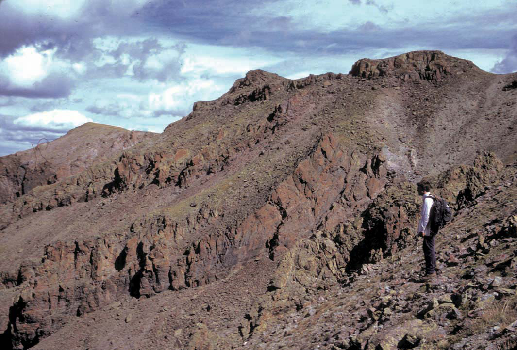 Stewart PeakSummit · ~30 min drivePhoto: P.W. Lipman, Public domain (via Wikimedia Commons)
 San Luis PeakSummit · ~31 min drivePhoto: Mikejonesman, CC BY-SA 3.0 (via Wikimedia Commons)
 Whitecross MountainSummit · ~32 min drivePhoto: Larry Lamsa, CC BY 2.0 (via Wikimedia Commons)