Stewart Creek
- 13.1 mi
- round trip
- 2,856 ft
- climb
- 14,018 ft
- high point
- Out and back
- route
Is Stewart Creek open right now?
Closure in the area
There's a closure order in Grand Mesa, Uncompahgre and Gunnison National Forests. It doesn't name Stewart Creek, so check the source for the area it covers (2 listed).
Gold Mountain Wildfire Roads and Trails Closure Order v 4.0
Agency closure covering Grand Mesa, Uncompahgre and Gunnison National Forests · USFS · Grand Mesa, Uncompahgre and Gunnison National Forests
Ophir Pass Road Closure
Agency closure covering Grand Mesa, Uncompahgre and Gunnison National Forests · USFS · Grand Mesa, Uncompahgre and Gunnison National Forests
Potter Basin Road Closure Order
Agency alert covering Grand Mesa, Uncompahgre and Gunnison National Forests · USFS · Grand Mesa, Uncompahgre and Gunnison National Forests
Beaver Park Road Closure Order
Agency alert covering Grand Mesa, Uncompahgre and Gunnison National Forests · USFS · Grand Mesa, Uncompahgre and Gunnison National Forests
TERMINATION OF ORDER - FIRE RESTRICTIONS
Agency alert covering Grand Mesa, Uncompahgre and Gunnison National Forests · USFS · Grand Mesa, Uncompahgre and Gunnison National Forests
As of · Source: USFS · Grand Mesa, Uncompahgre and Gunnison National Forests. Agencies don't list every closure — check before you go.
Stewart Creek is a hard hike in Colorado's La Garita Wilderness, part of the Gunnison Ranger District of the Grand Mesa, Uncompahgre and Gunnison National Forests. The route is an out-and-back that climbs from about 10,470 feet to about 14,018 feet, a total gain of 2,856 feet over roughly 13 miles. The trail is on natural surface and is open to horses. Bikes are not allowed. The Forest Service manages the land, and the Stewart Creek parking area is the trailhead. The route is open year-round. The climb is a long one, and the high point sits well above the starting elevation. For a longer outing, San Luis Peak lies about 3.7 miles away, and Organ Mountain and the Stewart Creek Cutoff are each about 2.4 miles off.
Local outfitters
- Blue Creek Lodge17 mi away
- Grizzly RT RV Park30 mi away
Not on Roamze yet. Their page has how to reach them.
Conditions and forecast on San Luis Peak
Daily highs and lows, wind and the chance of precipitation at the summit and route start for the next 7 days, from the Open-Meteo model.
- Organ MountainHiking2.4 mi
- STEWART CREEK CUTOFFHiking2.4 mi
- San Luis PeakHiking3.7 mi
- PERFECTO CREEK SPURHiking4.5 mi
- CebollaHiking4.9 mi
- Cascade CreekHiking4.9 mi
- Miners CreekHiking5.1 mi
- MIDDLE FORK CUTOFFHiking5.8 mi
Source: Roamze catalog (indexable pages within 10 miles, PostGIS distance)
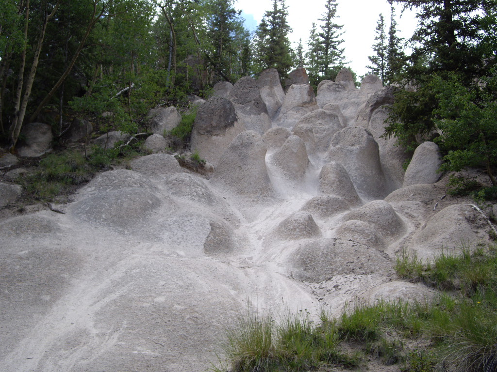 Wheeler LoopHiking · ~18 min drivePhoto: C. K. Hartman, CC BY 2.0 (via Flickr)
 Farmers CreekHiking · ~22 min drivePhoto: aspidoscelis, Public Domain Dedication (CC0) (via Flickr)
- Cascade CreekHiking · ~8 min drive
- Baldy AltoHiking · ~10 min drive
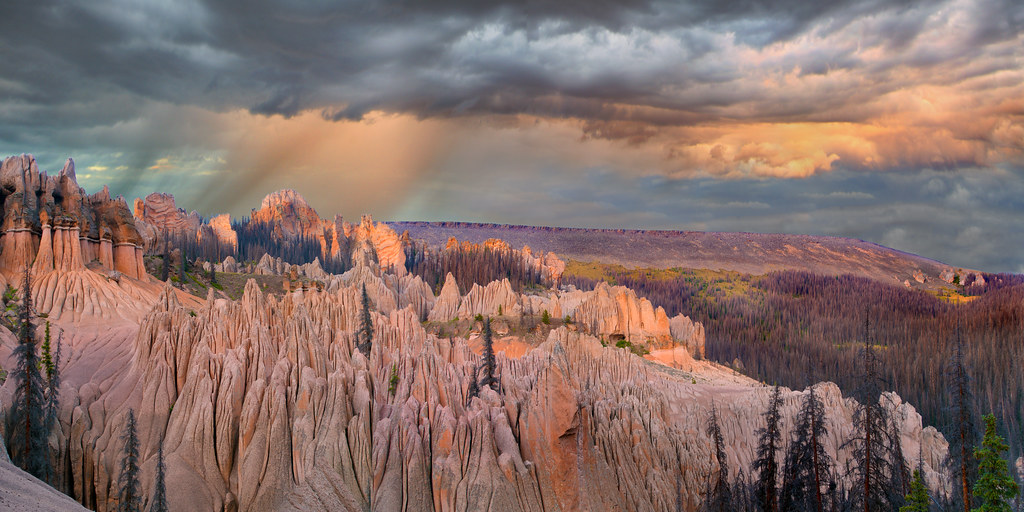 Wason Park Cut-OffHiking · ~19 min drivePhoto: snowpeak, CC BY 2.0 (via Flickr)
- Dry Gulch TrailHiking · ~21 min drivePhoto: aspidoscelis, Public Domain Dedication (CC0) (via Flickr)
- MIDDLE FORK CUTOFFHiking · ~10 min drive
- Miner's Creek TrailHiking · ~20 min drive
- PERFECTO CREEK SPURHiking · ~8 min drive
- STEWART CREEK CUTOFFHiking · ~4 min drive
Also worth it near here
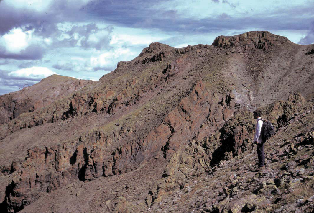 Stewart PeakSummit · ~4 min drivePhoto: P.W. Lipman, Public domain (via Wikimedia Commons)
- McDonough Reservoir Number 2Lake fishing · ~22 min drive
 Mountain Views at Rivers Edge RV ParkCamping · ~23 min drivePhoto: Michael Harbour, CC BY-SA 3.0 (via Wikimedia Commons)
 Cebolla CreekCanoeing · ~25 min drivePhoto: Jeffrey Beall, CC BY 4.0 (via Wikimedia Commons)
Route details
- Distance
- 13.1 mi round trip
- Climbing
- About 2,856 ft
- Starts at
- STEWART CREEK (about 11,221 ft)
- Summit
- 14,018 ft
- Difficulty
- Hard
Getting there
Park at STEWART CREEK.
Season
Season: Year-round.
Other routes up San Luis Peak
Questions about this route
How long is the Stewart Creek on San Luis Peak?
About 13.1 mi round trip from STEWART CREEK (about 11,221 ft).
How much elevation gain is on the Stewart Creek?
About 2,856 ft of climbing round trip.
How hard is the Stewart Creek?
It is rated hard.
Where does the Stewart Creek start?
STEWART CREEK (about 11,221 ft).
When is the best time for the Stewart Creek?
Year-round.
How many routes go up San Luis Peak?
3: San Luis Peak, Stewart Creek and Baldy Alto.
