Baldy Alto
- 15.7 mi
- round trip
- 7,028 ft
- climb
- 13,704 ft
- high point
- Out and back
- route
Is Baldy Alto open right now?
Closure in the area
There's a closure order in Rio Grande National Forest. It doesn't name Baldy Alto, so check the source for the area it covers.
Closures and dangerous conditions on roads, bridges, and trails from flooding
Agency closure covering Rio Grande National Forest · USFS · Rio Grande National Forest
As of · Source: USFS · Rio Grande National Forest. Agencies don't list every closure — check before you go.
Baldy Alto is a long, steep out-and-back hike in Colorado's Rio Grande National Forest, within the Divide Ranger District. The route is about 15.7 miles long, with a total elevation gain of 7,028 feet and a high point of 13,704 feet. It is an expert-level climb, and the Forest Service manages the land. The trip is a full-day commitment. Plan on about 8.5 hours, and expect to gain and lose roughly 7,000 feet over the course of the hike. The San Luis Pass route lies just 0.1 mile away, making it an easy addition to the day. Nearby, San Luis Peak is about 2.6 miles off, and Cascade Creek and Stewart Creek Cutoff are both within about 4 miles. For an overnight base, Cebolla Campground sits about 9.7 miles away.
Local outfitters
- Blue Creek Lodge16 mi away
- Grizzly RT RV Park24 mi away
Not on Roamze yet. Their page has how to reach them.
Conditions and forecast on San Luis Peak
Daily highs and lows, wind and the chance of precipitation at the summit and route start for the next 7 days, from the Open-Meteo model.
- San Luis PassHiking0.1 mi
- San Luis PeakHiking2.6 mi
- Cascade CreekHiking3.6 mi
- STEWART CREEK CUTOFFHiking3.7 mi
- East Mineral CreekHiking4.1 mi
- La Garita Sd. TrailHiking4.4 mi
- Cebolla CampgroundCamping9.7 mi
 Mountain Views at Rivers Edge RV ParkCampingPhoto: Michael Harbour, CC BY-SA 3.0 (via Wikimedia Commons)9.8 mi
Source: Roamze catalog (indexable pages within 10 miles, PostGIS distance)
 Farmers CreekHiking · ~17 min drivePhoto: aspidoscelis, Public Domain Dedication (CC0) (via Flickr)
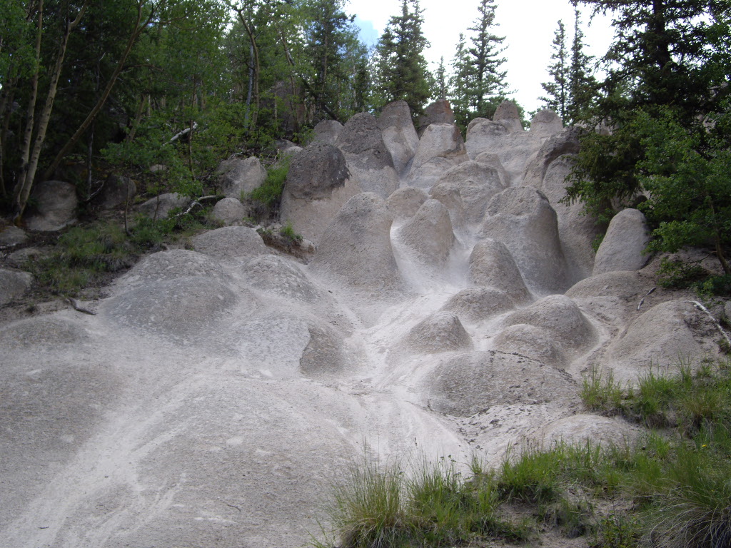 Wheeler LoopHiking · ~19 min drivePhoto: C. K. Hartman, CC BY 2.0 (via Flickr)
- Cascade CreekHiking · ~6 min drive
- Miner's Creek TrailHiking · ~12 min drive
- Dry Gulch TrailHiking · ~15 min drivePhoto: aspidoscelis, Public Domain Dedication (CC0) (via Flickr)
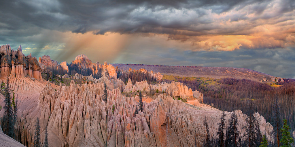 Wason Park Cut-OffHiking · ~19 min drivePhoto: snowpeak, CC BY 2.0 (via Flickr)
- Miner's Creek TrailHiking · ~9 min drive
- Organ MountainHiking · ~14 min drive
- STEWART CREEK CUTOFFHiking · ~6 min drive
- La Garita Sd. TrailHiking · ~8 min drive
Also worth it near here
 San Luis PeakSummit · ~5 min drivePhoto: Mikejonesman, CC BY-SA 3.0 (via Wikimedia Commons)
- Mountain Views at Rivers Edge RV ParkCamping · ~17 min drivePhoto: Michael Harbour, CC BY-SA 3.0 (via Wikimedia Commons)
- Spring Creek Pass Snowmo/skiCross-country skiing · ~19 min drive
- Rito Hondo Reservoir Boating SiteBoat launch · ~21 min drive
Route details
- Distance
- 15.7 mi round trip
- Climbing
- About 7,028 ft
- Starts at
- West Willow Creek Trailhead
- Summit
- 14,018 ft
- Difficulty
- Expert
Other routes up San Luis Peak
Questions about this route
How long is the Baldy Alto on San Luis Peak?
About 15.7 mi round trip from West Willow Creek Trailhead.
How much elevation gain is on the Baldy Alto?
About 7,028 ft of climbing round trip.
How hard is the Baldy Alto?
It is rated expert.
Where does the Baldy Alto start?
West Willow Creek Trailhead.
How many routes go up San Luis Peak?
3: San Luis Peak, Stewart Creek and Baldy Alto.
© openrouteservice.org by HeiGIT | Map data © OpenStreetMap contributors
