
Mountain · 2 routes
Redcloud Peak
14,034 ft · Colorado
Photo: Mitchtobin, CC BY-SA 4.0 (via Wikimedia Commons)
- Summit
- 14,034 ft
- Routes
- 2 ways up
- Managed by
- Bureau of Land Management
Routes up Redcloud Peak
- Redcloud PeakExpertFrom Silver Creek Trailhead · about 3,700 ft of climbing9.0 mi round tripSee the route
- Sunshine PeakExpertFrom Grizzly Gulch Trailhead · about 4,800 ft of climbing12.3 mi round tripSee the route
| Redcloud Peak | Sunshine Peak | |
|---|---|---|
| Starts at | Silver Creek Trailhead | Grizzly Gulch Trailhead |
| Climbing | About 3,700 ft | About 4,800 ft |
| Round trip | 9.0 mi | 12.3 mi |
| Difficulty | Expert | Expert |
| Terrain | Hike | Hike |
About Redcloud Peak
Redcloud Peak is a summit in Colorado at 14,034 feet elevation. It is managed by the Bureau of Land Management on federal BLM land.
Forecast on Redcloud Peak
Daily highs and lows, wind and the chance of precipitation at the summit and silver creek trailhead for the next 7 days, from the Open-Meteo model.
Questions about Redcloud Peak
How tall is Redcloud Peak?
14,034 ft (4,278 m).
How many routes go to the summit of Redcloud Peak?
2: Redcloud Peak and Sunshine Peak.
What is the shortest route up Redcloud Peak?
Redcloud Peak, about 9.0 mi round trip.
Where do the routes up Redcloud Peak start?
Redcloud Peak starts at Silver Creek Trailhead. Sunshine Peak starts at Grizzly Gulch Trailhead.
Mountains nearby
 Sunshine Peak14,001 ft · Colorado2 routes1.3 mi awayPhoto: Jane Nearing, CC BY 2.0 (via Wikimedia Commons)
 Whitecross Mountain13,541 ft · Colorado1 route4.0 mi awayPhoto: Larry Lamsa, CC BY 2.0 (via Wikimedia Commons)
 Handies Peak14,051 ft · Colorado1 route4.9 mi awayPhoto: Mitchtobin, CC BY-SA 4.0 (via Wikimedia Commons)
 American Peak13,807 ft · Colorado1 route5.7 mi awayPhoto: Michael Kwok, CC BY 2.0 (via Wikimedia Commons)
 Half Peak13,850 ft · Colorado1 route5.8 mi awayPhoto: John Sowell, CC BY-SA 4.0 (via Wikimedia Commons)
 Carson Peak13,659 ft · Colorado1 route5.8 mi awayPhoto: Jane Nearing, CC BY 2.0 (via Wikimedia Commons)
Facts about this place
Where it is
- Gunnison Field Office · Bureau of Land Management
- Nearest town
- Lake City, Colorado · 8.2 mi
- Managed by
- Bureau of Land Management
Nearby
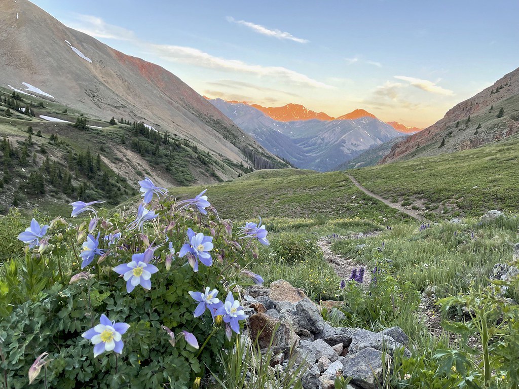 Sunshine Peak Climber's RouteHikingPhoto: kalestews, CC BY 2.0 (via Flickr)1.1 mi
- Lake ForkCanoeing1.5 mi
 Mark MountainHikingPhoto: kalestews, CC BY 2.0 (via Flickr)2.1 mi
- Grizzly RT RV ParkCamping2.7 mi
- Mill Creek Campground (CO)Camping2.8 mi
 Henson CreekCanoeingPhoto: Jeffrey Beall, CC BY 4.0 (via Wikimedia Commons)4.4 mi
- Zebra WallRock climbing5.1 mi
- Ritalin WallRock climbing5.1 mi
Source: Roamze catalog (indexable pages within 10 miles, PostGIS distance)
