Organ Mountain
- 9.9 mi
- round trip
- 3,999 ft
- climb
- 13,730 ft
- high point
- Out and back
- route
Is Organ Mountain open right now?
Closure in the area
There's a closure order in Grand Mesa, Uncompahgre and Gunnison National Forests. It doesn't name Organ Mountain, so check the source for the area it covers (2 listed).
Gold Mountain Wildfire Roads and Trails Closure Order v 4.0
Agency closure covering Grand Mesa, Uncompahgre and Gunnison National Forests · USFS · Grand Mesa, Uncompahgre and Gunnison National Forests
Ophir Pass Road Closure
Agency closure covering Grand Mesa, Uncompahgre and Gunnison National Forests · USFS · Grand Mesa, Uncompahgre and Gunnison National Forests
Potter Basin Road Closure Order
Agency alert covering Grand Mesa, Uncompahgre and Gunnison National Forests · USFS · Grand Mesa, Uncompahgre and Gunnison National Forests
Beaver Park Road Closure Order
Agency alert covering Grand Mesa, Uncompahgre and Gunnison National Forests · USFS · Grand Mesa, Uncompahgre and Gunnison National Forests
TERMINATION OF ORDER - FIRE RESTRICTIONS
Agency alert covering Grand Mesa, Uncompahgre and Gunnison National Forests · USFS · Grand Mesa, Uncompahgre and Gunnison National Forests
As of · Source: USFS · Grand Mesa, Uncompahgre and Gunnison National Forests. Agencies don't list every closure — check before you go.
Organ Mountain is a 10-mile out-and-back hike in Colorado's Gunnison Ranger District, part of the Grand Mesa, Uncompahgre and Gunnison National Forests. The route climbs to a high point of 13,730 feet, with a total elevation gain of nearly 4,000 feet, and is rated expert. The Forest Service manages the land. The trip takes about 5.5 hours. The climb is steep, and the route gains and loses about 4,000 feet in total. The high point sits at 13,730 feet, and the hike is long and demanding, so plan for a full day on the trail. Several other hikes lie within a few miles, including Stewart Creek at 2.4 miles and Miners Creek at 3.5 miles. For an overnight stay, Salt House Camping Area is about 8.4 miles away, and Stone Cellar Campground is about 9 miles away.
Local outfitters
- Blue Creek Lodge18 mi away
- Grizzly RT RV Park32 mi away
Not on Roamze yet. Their page has how to reach them.
Conditions and forecast on Organ Mountain
Daily highs and lows, wind and the chance of precipitation at the summit and route start for the next 7 days, from the Open-Meteo model.
- Stewart CreekHiking2.4 mi
- Miners CreekHiking3.5 mi
- PERFECTO CREEK SPURHiking4.3 mi
- STEWART CREEK CUTOFFHiking4.7 mi
- Salt House Camping AreaCamping8.4 mi
- Stone Cellar Guard StationCamping8.7 mi
- Stone Cellar CampgroundCamping9 mi
- South Fork Saguache CreekCanoeing9.7 mi
Source: Roamze catalog (indexable pages within 10 miles, PostGIS distance)
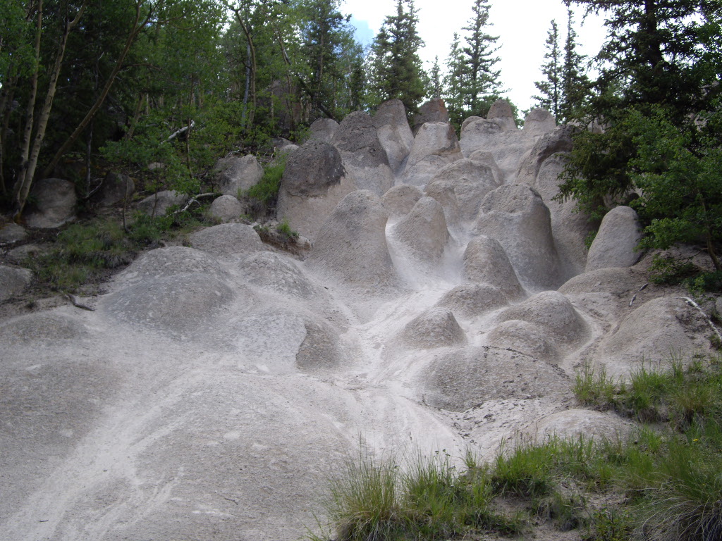 Wheeler LoopHiking · ~17 min drivePhoto: C. K. Hartman, CC BY 2.0 (via Flickr)
 Dry Gulch TrailHiking · ~23 min drivePhoto: aspidoscelis, Public Domain Dedication (CC0) (via Flickr)
- MIDDLE FORK CUTOFFHiking · ~10 min drive
- Baldy AltoHiking · ~14 min drive
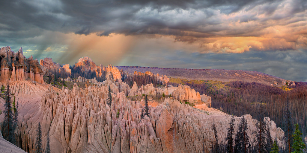 Wason Park Cut-OffHiking · ~19 min drivePhoto: snowpeak, CC BY 2.0 (via Flickr)
- Stewart CreekHiking · ~4 min drive
- Benito CreekHiking · ~10 min drive
- PERFECTO CREEK SPURHiking · ~7 min drive
- STEWART CREEK CUTOFFHiking · ~8 min drive
- Cascade CreekHiking · ~12 min drive
Also worth it near here
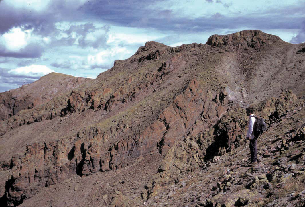 Stewart PeakSummit · ~8 min drivePhoto: P.W. Lipman, Public domain (via Wikimedia Commons)
- McDonough Reservoir Number 2Lake fishing · ~20 min drive
 Mountain Views at Rivers Edge RV ParkCamping · ~25 min drivePhoto: Michael Harbour, CC BY-SA 3.0 (via Wikimedia Commons)
 Cochetopa CreekCanoeing · ~27 min drivePhoto: Ken Lund from Reno, Nevada, USA, CC BY-SA 2.0 (via Wikimedia Commons)
Route details
- Distance
- 9.9 mi round trip
- Climbing
- About 3,999 ft
- Starts at
- Stewart Creek TH
- Summit
- 13,803 ft
- Difficulty
- Expert
Questions about this route
How long is the Organ Mountain on Organ Mountain?
About 9.9 mi round trip from Stewart Creek TH.
How much elevation gain is on the Organ Mountain?
About 3,999 ft of climbing round trip.
How hard is the Organ Mountain?
It is rated expert.
Where does the Organ Mountain start?
Stewart Creek TH.
© openrouteservice.org by HeiGIT | Map data © OpenStreetMap contributors
