Pass Mountain
 Photo: Z Glyph, CC BY 3.0 (via Wikimedia Commons)
At a glance
Pass Mountain is a summit of 3,302 feet in the Mesa Ranger District of Tonto National Forest in Arizona, about 8 miles from Apache Junction. The Forest Service manages the land. The cooler months are the most comfortable time to go. Typical averages from a nearby weather station in Apache Junction show November highs around 76°F with lows near 50°F, and March highs around 77°F. That station sits roughly 1,200 feet below the summit, so temperatures on top run cooler. The Pass Mountain Summmit Trail starts less than a mile away, and the Talon Trail and Wind Cave are each within about a mile. For an overnight stay, Larry Forbis campground is about 5 miles off.
- summit
- 3,302 ft
- way up
- 1
- managed by
- Forest Service
- best months
- Nov–Apr
Where it is: Mesa Ranger District · Tonto National Forest
Near: Mesa
Best time to visit Pass Mountain
Best months: November–April. Best months have typical highs of 55–85 °F, lows of 30 °F or warmer (32 °F where the station doesn't record snow), at most one snowy day and no more than 12 wet days.
Jan
67°
43°
4 wet
Feb
70°
44°
4 wet
Mar
77°
48°
4 wet
Apr
85°
53°
2 wet
May
93°
60°
2 wet
Jun
103°
69°
1 wet
Jul
105°
77°
4 wet
Aug
104°
76°
6 wet
Sep
99°
71°
4 wet
Oct
88°
60°
3 wet
Nov
76°
50°
3 wet
Dec
66°
42°
4 wet
Typical high / low (°F) and days with rain or snow, 1991–2020. Measured at Apache Junction 5 Ne, AZ, 6.9 mi away at 2,070 ft. The station sits about 1,200 ft lower than this place, so expect it a little cooler here. Source: NOAA NCEI U.S. Climate Normals 1991–2020.
Been here? Tell people how it was.
Map © Mapbox © OpenStreetMap contributors - Lone Mountain2,802 ft · Arizona1 route1.7 mi away
- Battleship Mountain2,793 ft · Arizona1 route11 mi away
- Black Top Mesa3,357 ft · Arizona1 route13 mi away
- Lousley Hill2,045 ft · Arizona1 route16 mi away
 Thompson Peak3,983 ft · Arizona1 route17 mi awayPhoto: GreenGibbon, CC BY-SA 3.0 (via Wikimedia Commons)
- Browns Peak7,649 ft · Arizona1 route21 mi away
- Pass Mountain Summmit TrailHiking0.7 mi
- Talon TrailHiking0.8 mi
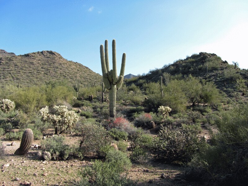 Wind CaveHikingPhoto: homeredwardprice, CC BY 2.0 (via Flickr)1 mi
 Greevers' NeedleRock climbingPhoto: Z Glyph, CC BY 3.0 (via Wikimedia Commons)3.2 mi
- Larry ForbisCamping4.7 mi
 Lost Whiskey WallRock climbingPhoto: davidpinter, CC BY 3.0 (via Wikimedia Commons)6.9 mi
- River CragRock climbingPhoto: davidpinter, CC BY 3.0 (via Wikimedia Commons)6.9 mi
- The Rolls OHV Area - Butcher Jones AccessCamping7.9 mi
- Thompson PeakSummitPhoto: GreenGibbon, CC BY-SA 3.0 (via Wikimedia Commons)~28 min drive
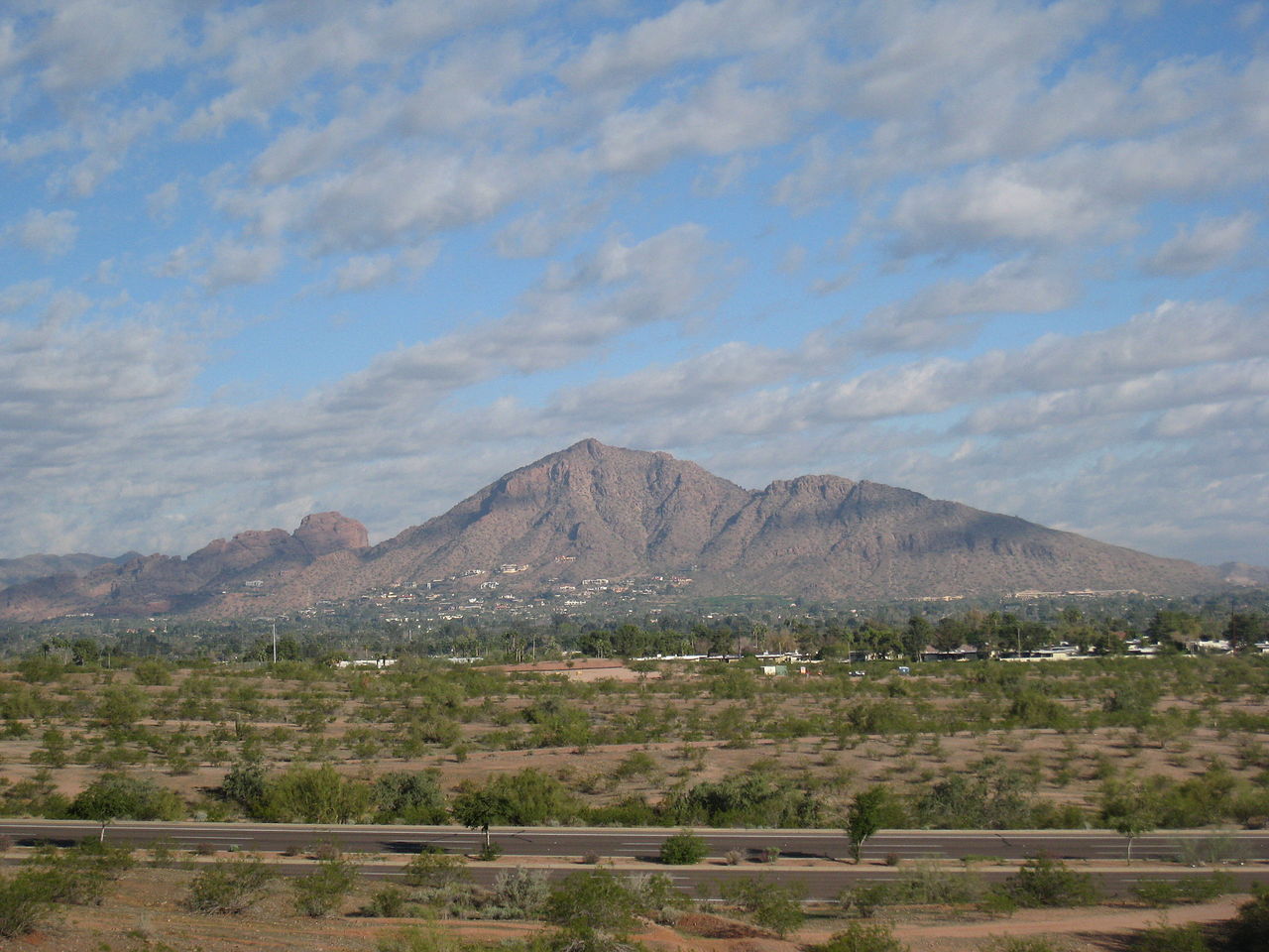 Camelback MountainSummitPhoto: Dru Bloomfield from Scottsdale, Arizona, USA, CC BY 2.0 (via Wikimedia Commons)~36 min drive
 Piestewa PeakSummitPhoto: Ted Eytan, CC BY-SA 2.0 (via Wikimedia Commons)~43 min drive
 North MountainSummitPhoto: Aznaturalist, CC BY-SA 3.0 (via Wikimedia Commons)~48 min drive
 Poston ButteSummitPhoto: Aznaturalist, CC BY-SA 3.0 (via Wikimedia Commons)~54 min drive
 Gavilan PeakSummitPhoto: Phoenix500, CC BY-SA 3.0 (via Wikimedia Commons)~1h 12m drive
 Pinal PeakSummitPhoto: Zakhari Volk, CC BY-SA 4.0 (via Wikimedia Commons)~1h 21m drive
- Lone MountainSummit~3 min drive
- The FlatironSummit~16 min drive
- Battleship MountainSummit~20 min drive
Conditions and forecast
Daily highs and lows, wind and the chance of precipitation at the summit and route start for the next 7 days, from the Open-Meteo model.
Questions about Pass Mountain
How tall is Pass Mountain?
3,302 ft (1,006 m).
How many routes go to the summit of Pass Mountain?
One: Pass Mountain Summmit Trail.
Ask about this place
Questions about Pass Mountain: conditions, access, timing. Answers say when something isn't known.
