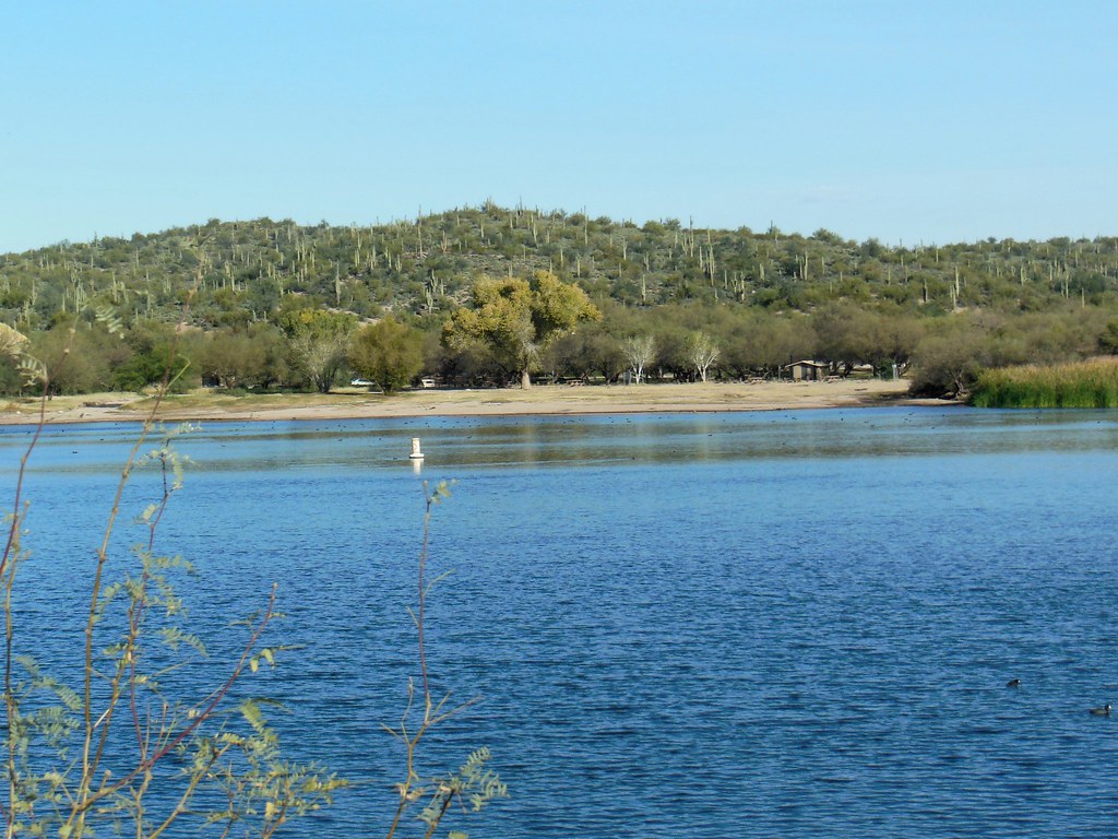
River Crag
 Photo: davidpinter, CC BY 3.0 (via Wikimedia Commons)
- 5 routes
- V0 – V2+
- Bouldering
- Nov–Apr
- best months
Is River Crag open right now?
Alert in the area
The Forest Service lists 4 alerts for Tonto National Forest.
Canyon Lake Drawdown Public Safety Closure
Agency alert covering Tonto National Forest · Order 03-12-00-26-22 · USFS · Tonto National Forest
No Fire Restrictions
Agency alert covering Tonto National Forest · USFS · Tonto National Forest
Lower Salt River Seasonal Bald Eagle Closures
Agency alert covering Mesa Ranger District · Order 03-12-03-24-65 · USFS · Mesa Ranger District
Roosevelt Lake Seasonal Wildlife Closure
Agency alert covering Tonto National Forest · Order 12-16-5 · USFS · Tonto National Forest
As of · Source: USFS · Tonto National Forest. Agencies don't list every closure — check before you go.
River Crag is a bouldering area in Arizona's Tonto National Forest, within the Mesa Ranger District. The Forest Service manages the land. Spring and fall are the most comfortable times to visit. Typical averages from the Stewart Mtn Dam weather station, about a mile away, run from highs near 69°F with lows around 39°F in January to highs near 85°F and lows around 50°F in April. By contrast, July highs average 105°F. The station sits about 105 feet lower than the crag. The area holds five bouldering routes, all rated between V0 and V2+. The Nob's Bobs is V0, and Big Johnson and Crocker Corner are V2+. Manring Face is V1+ and The Yost Crack is V2-. Saguaro Lake and Lost Whiskey Wall both sit about 0.1 mile away, and Lower Canyon is about 0.4 mile off. The Butcher Jones hike starts roughly 0.8 mile from the crag.
Best time to go · Nov–Apr
Best time to visit River Crag
Best months: November–April. Best months have typical highs of 55–85 °F, lows of 30 °F or warmer (32 °F where the station doesn't record snow), at most one snowy day and no more than 12 wet days.
Jan
69° / 39°
5 wet
Feb
72° / 41°
5 wet
Mar
78° / 46°
4 wet
Apr
85° / 50°
2 wet
May
93° / 59°
1 wet
Jun
103° / 68°
1 wet
Jul
105° / 76°
3 wet
Aug
104° / 76°
5 wet
Sep
100° / 69°
4 wet
Oct
90° / 56°
2 wet
Nov
78° / 45°
3 wet
Dec
68° / 38°
4 wet
Typical high / low (°F) and days with rain or snow, 1991–2020. Measured at Stewart Mtn Dam, AZ, 1 mi away at 1,422 ft. Source: NOAA NCEI U.S. Climate Normals 1991–2020.
Keep exploring — more climbs worth the drive
 Photo: davidpinter, CC BY 3.0 (via Wikimedia Commons)
Lower Canyon
Next door
Lower Canyon in Arizona has 3 climbing routes with bouldering pads and sport.
 Photo: davidpinter, CC BY 3.0 (via Wikimedia Commons)
Upper Canyon
~3 min drive
Upper Canyon in Arizona has 3 bouldering routes with pads.
 Photo: Z Glyph, CC BY 3.0 (via Wikimedia Commons)
Greevers' Needle
~11 min drive
Greevers' Needle in Arizona has 17 climbing routes across 11 difficulty grades, offering bouldering, sport, and trad.
 Photo: Sean Foster, CC BY 3.0 (via Wikimedia Commons)
Northwest Pinnacles
~14 min drive
7 climbing routes in Arizona, difficulty grades 3, trad style
Photo: Sean Foster, CC BY 3.0 (via Wikimedia Commons)The Iceberg
~14 min drive
Iceberg, The is a climbing area in Arizona with 6 routes.
 Photo: The3dStudioDotCom, CC BY-SA 3.0 (via Wikimedia Commons)
Suction Gully
~14 min drive
Suction Gully in Arizona has 7 traditional climbing routes across 5 difficulty grades.
 Photo: neepster, CC BY-SA 2.0 (via Wikimedia Commons)
The Motherlode
~14 min drive
Motherlode, The in Arizona has 11 trad climbing routes across 7 difficulty grades.
 Photo: The3dStudioDotCom, CC BY-SA 3.0 (via Wikimedia Commons)
Siphon Draw
~15 min drive
Siphon Draw in Arizona has 7 trad climbing routes across 6 difficulty grades.
Photo: The3dStudioDotCom, CC BY-SA 3.0 (via Wikimedia Commons)Forrest Spires
~15 min drive
Forrest Spires is a climbing crag in Arizona with 5 routes.
 Photo: Chris English, CC BY-SA 3.0 (via Wikimedia Commons)
Gun Gallery
~19 min drive
32 climbing routes in Arizona, 12 difficulty grades, bouldering pads.