Grafton Loop Trail
At a glance
Grafton Loop Trail is a 26.8-mile point-to-point route in Grafton Notch State Park, Maine, set within the Appalachian National Scenic Trail corridor. The trail rises from a low point of 710 feet to a high of 4,185 feet, with a total elevation gain of 8,924 feet. It is a long, steep, rolling climb, and the steepest stretch comes at about 7 miles in, where the grade reaches 36 percent. The route is rated expert, and it is managed by State Park and Recreation. Bikes and horses are not allowed on this trail. Plan on about 13.5 hours for the trip, and expect a significant amount of climbing, with the route losing about 8,338 feet in elevation along the way. The Appalachian Trail and the Eyebrow Trail both lie about 1.4 miles away, and the Table Rock Trail is about 1.5 miles off. Climbers can find The Outlook in New Hampshire, roughly 7.9 miles away.
- one way
- 26.8 mi
- climb
- 8,924 ft
- high point
- 4,185 ft
- route
- Point to point
- time
- About 12 hours
Where it is: Appalachian National Scenic Trail · Grafton Notch State Park
Near: Berlin
Been here? Tell people how it was.
 Appalachian TrailHikingPhoto: athrasher, Public Domain Dedication (CC0) (via Flickr)1.4 mi
- Eyebrow TrailHikingPhoto: athrasher, Public Domain Dedication (CC0) (via Flickr)1.4 mi
 Table Rock TrailHikingPhoto: daveynin, CC BY 2.0 (via Flickr)1.5 mi
 Notch TrailHikingPhoto: John Hayes (gravelboy), CC BY 2.0 (via Flickr)2.9 mi
- The OutlookRock climbing7.9 mi
- Lost Boys AreaRock climbing8.9 mi
- North Bald CapRock climbing9 mi
- Main Slab AreaRock climbing9.2 mi
- Appalachian TrailHikingPhoto: athrasher, Public Domain Dedication (CC0) (via Flickr)~2 min drive
- Table Rock TrailHikingPhoto: daveynin, CC BY 2.0 (via Flickr)~3 min drive
- Notch TrailHikingPhoto: John Hayes (gravelboy), CC BY 2.0 (via Flickr)~5 min drive
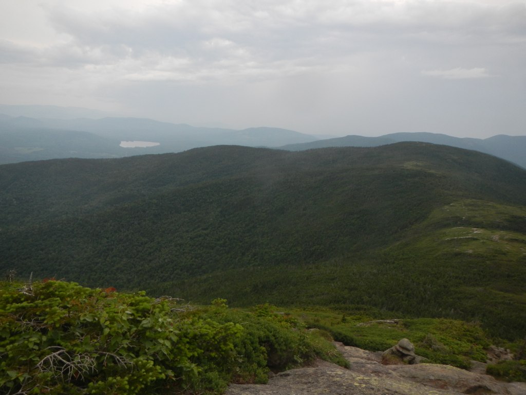 Wright TrailHikingPhoto: John Hayes (gravelboy), CC BY 2.0 (via Flickr)~9 min drive
- Eyebrow TrailHikingPhoto: athrasher, Public Domain Dedication (CC0) (via Flickr)~2 min drive
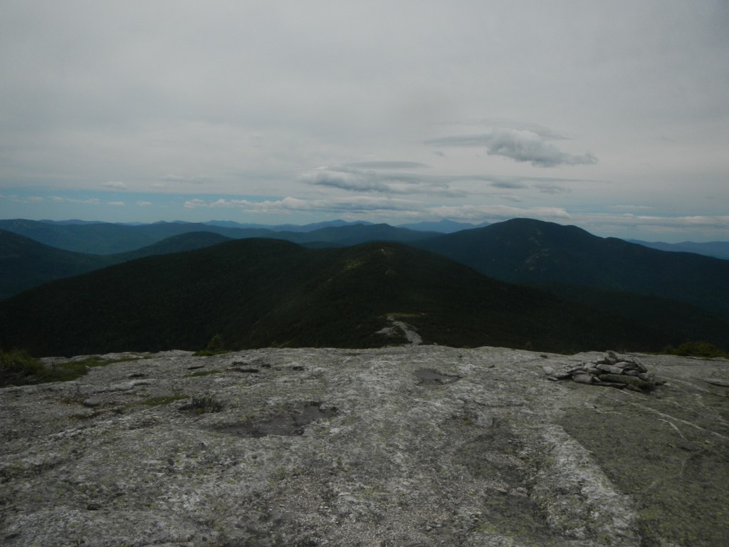 Baldpate Mountain TrailHikingPhoto: John Hayes (gravelboy), CC BY 2.0 (via Flickr)~8 min drive
 Summit LoopHikingPhoto: Tv.Rule, CC BY-SA 4.0 (via Wikimedia Commons)~16 min drive
- Speck Pond TrailHiking~6 min drive
 Goose EyeHikingPhoto: John Hayes (gravelboy), CC BY 2.0 (via Flickr)~9 min drive
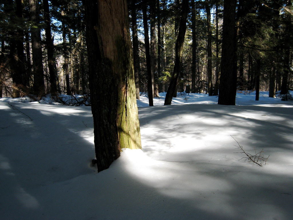 Mount Will TrailHikingPhoto: ChrisDag, CC BY 2.0 (via Flickr)~18 min drive
Conditions and forecast on Bald Mountain
Daily highs and lows, wind and the chance of precipitation at the summit and route start for the next 7 days, from the Open-Meteo model.
Ask about this place
Questions about Grafton Loop Trail: conditions, access, timing. Answers say when something isn't known.
Questions about this route
How long is the Grafton Loop Trail on Bald Mountain?
About 26.8 mi.
How much elevation gain is on the Grafton Loop Trail?
About 8,924 ft of climbing round trip.
How hard is the Grafton Loop Trail?
It is rated expert.
How long does the Grafton Loop Trail take?
About 12 hours round trip.
Map and trail data © OpenStreetMap contributors
