Baldpate Mountain
- 3,814 ft
- summit
- 1
- way up
Is Baldpate Mountain open right now?
Closure in the area
There's a closure order in Appalachian National Scenic Trail. It doesn't name Baldpate Mountain, so check the source for the area it covers.
List of trail closures post-Hurricane Helene
Park closure covering Appalachian National Scenic Trail · NPS · Appalachian National Scenic Trail
Black Bears Frequenting the McAfee Knob Area in Virginia
Park alert covering Appalachian National Scenic Trail · NPS · Appalachian National Scenic Trail
As of · Source: NPS · Appalachian National Scenic Trail. Agencies don't list every closure — check before you go.
Baldpate Mountain is a summit in western Maine, within the Appalachian National Scenic Trail and about 15 miles from the town of Bethel. Its location on the corridor of the long-distance trail makes it a natural objective for hikers working through this part of the state. The Baldpate Mountain Trail starts less than a mile away. Step Falls Trail and Table Rock Trail are each just under 3 miles off, and the Grafton Loop Trail lies about 4 miles away.
Conditions and forecast
Daily highs and lows, wind and the chance of precipitation at the summit and route start for the next 7 days, from the Open-Meteo model.
- Summit elevation
- 3,814 ft
Elevation from USGS 3D Elevation Program terrain data (about 10 m resolution).
Map © Mapbox © OpenStreetMap contributors Questions about Baldpate Mountain
How tall is Baldpate Mountain?
3,814 ft (1,163 m).
How many routes go to the summit of Baldpate Mountain?
One: Grafton Loop Trail.
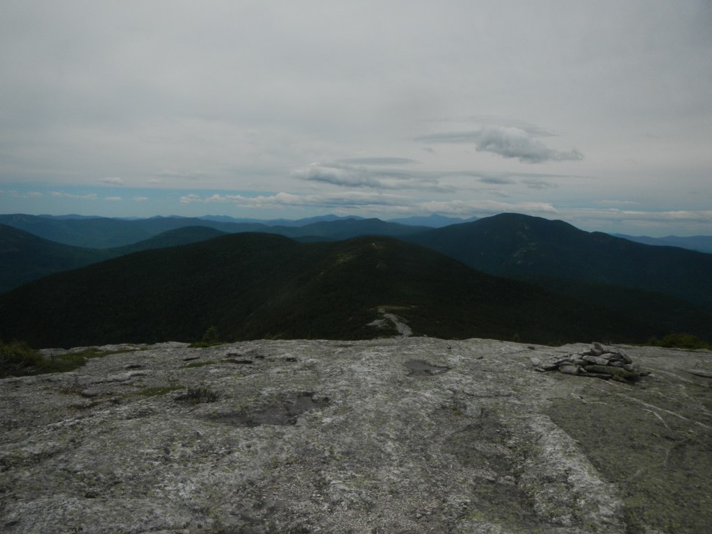 Baldpate Mountain TrailHikingPhoto: John Hayes (gravelboy), CC BY 2.0 (via Flickr)0.8 mi
- Step Falls TrailHiking2.8 mi
 Table Rock TrailHikingPhoto: daveynin, CC BY 2.0 (via Flickr)2.9 mi
 Appalachian TrailHikingPhoto: athrasher, Public Domain Dedication (CC0) (via Flickr)3 mi
- Eyebrow TrailHikingPhoto: athrasher, Public Domain Dedication (CC0) (via Flickr)3 mi
- Cascade TrailHiking4 mi
- Grafton Loop TrailHiking4.1 mi
- C BluffRock climbing7.9 mi
Source: Roamze catalog (indexable pages within 10 miles, PostGIS distance)
 Mount ForestSummit · ~31 min drivePhoto: Jon Platek, CC BY-SA 3.0 (via Wikimedia Commons)
 Jericho MountainSummit · ~33 min drivePhoto: Sirberlinnh, CC BY-SA 4.0 (via Wikimedia Commons)
 Tumbledown MountainSummit · ~33 min drivePhoto: Noah Meyerhans, CC BY-SA 2.0 (via Wikimedia Commons)
 Mount MoriahSummit · ~38 min drivePhoto: AlexiusHoratius, CC BY-SA 3.0 (via Wikimedia Commons)
- Table RockSummit · ~4 min drive
- Long MountainSummit · ~7 min drive
- Old Speck MountainSummit · ~7 min drive
- Sunday River WhitecapSummit · ~7 min drive
- Mahoosuc ArmSummit · ~9 min drive
- Stowe MountainSummit · ~9 min drive
