Capmpsite Lean to #11
Campground
4.0 mi from the trail
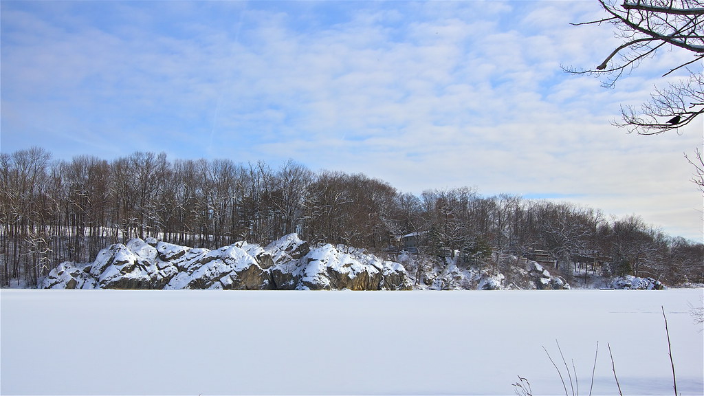 Photo: Chrisbkes, CC BY 2.0 (via Flickr)
The Yellow Trail is a short, easy hike on county land in Westchester County, New York, about 1.4 miles long and roughly 130 feet of climb. It starts at about 840 feet and reaches a high of around 901 feet before the trail ends. The route is a point-to-point path, and the steepest stretch comes early on, about 0.12 miles from the start, where the grade reaches about 6%. The trail is managed by the county, and bikes are not allowed. Late spring and early fall are the most comfortable times to go. Typical averages from a nearby weather station show September highs around 74°F with lows near 52°F, and May highs around 69°F. That station sits a few hundred feet lower than the trail, so temperatures on the trail run a bit cooler. The Blue Trail lies just 0.1 mile away, and the Green and Orange trails are each about 0.3 mile off. The Mountain Lakes climbing area is about 0.4 mile away.
Where it is: WESTCHESTER COUNTY Land
Near: Danbury
Mid-August to late November and late March to late June are usually best for hiking here.
Typical highs of 49–80°F and lows of 30°F or warmer in those weeks. Rain falls on about 45% of days at the wettest of them, so plan around showers.
Typical weather: NOAA 1991–2020 normals at Danbury Muni Ap, CT, 5 mi away. Not a forecast.
Typical weather by monthBest months: April–June and September–November. Best months are the ones mostly made of the best weeks for hiking: typical temperatures in its comfortable range, few snowy days and not usually wet, judged with the same limits as our good-day forecasts.
Jan
36°
18°
11 wet
Feb
39°
20°
10 wet
Mar
47°
27°
11 wet
Apr
59°
37°
12 wet
May
69°
46°
14 wet
Jun
78°
56°
13 wet
Jul
82°
62°
13 wet
Aug
80°
60°
14 wet
Sep
74°
52°
14 wet
Oct
62°
41°
13 wet
Nov
51°
31°
11 wet
Dec
41°
24°
12 wet
Typical high / low (°F) and days with rain or snow, 1991–2020. Measured at Danbury Muni Ap, CT, 5.3 mi away at 457 ft. This station doesn't record snowfall. Source: NOAA NCEI U.S. Climate Normals 1991–2020.
Been here? Tell people how it was.
Blue TrailHikingPhoto: Chrisbkes, CC BY 2.0 (via Flickr)0.1 mi Green TrailHikingPhoto: Chrisbkes, CC BY 2.0 (via Flickr)0.3 mi
 Still RiverCanoeingPhoto: Pedro Xing, CC0 (via Wikimedia Commons)6.1 miGreen TrailHikingPhoto: Chrisbkes, CC BY 2.0 (via Flickr)Next doorWhite TrailHikingPhoto: Chrisbkes, CC BY 2.0 (via Flickr)~2 min drive
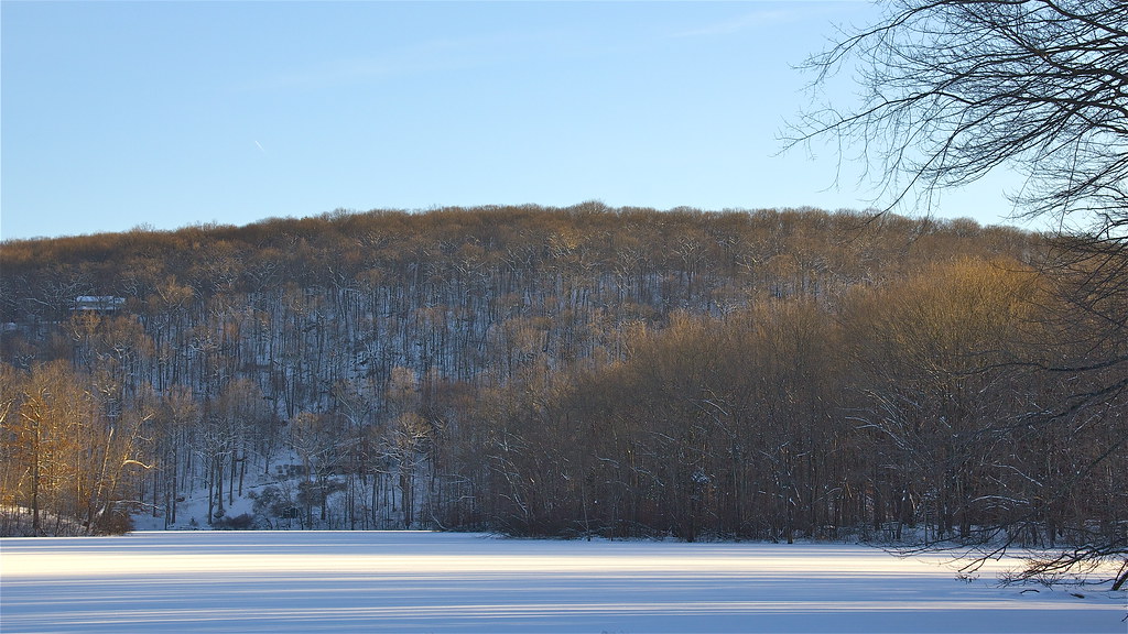 Pierrepont Park TrailHikingPhoto: Chrisbkes, CC BY 2.0 (via Flickr)~5 min driveOld Sib Preserve LoopHikingPhoto: Chrisbkes, CC BY 2.0 (via Flickr)Next doorOld Sib TrailHikingPhoto: Chrisbkes, CC BY 2.0 (via Flickr)Next door
 White TrailHikingPhoto: usf1fan2, CC BY 2.0 (via Flickr)~3 min drive
 Ridegfield High School Cross Country TrailHikingPhoto: Chrisbkes, CC BY 2.0 (via Flickr)~3 min driveWhite TrailHikingPhoto: usf1fan2, CC BY 2.0 (via Flickr)~3 min drive
Daily highs and lows, wind and the chance of precipitation at Start for the next 7 days, from the Open-Meteo model.
Questions about Yellow Trail: conditions, access, timing. Answers say when something isn't known.
Capmpsite Lean to #11
Campground
 If it rainsⱮ, CC BY-SA 4.0 · Wikimedia Commons
Places © OpenStreetMap contributors, Places © Overture Maps Foundation · Photos: Ɱ, CC BY-SA 4.0 (commons)
More in Mount KiscoNot on Roamze yet. Their page has how to reach them.
Map and trail data © OpenStreetMap contributors
