North Trail
 Photo: dddaag, CC BY 2.0 (via Flickr)
At a glance
North Trail is a 3.5-mile point-to-point hike in Connecticut, about 1.4 miles from Chatsworth Village. It is an easy route with a total elevation gain of 299 feet, and the climb is rolling rather than steep, with the steepest stretch at about 3 miles in. The trail starts at an elevation of 337 feet and reaches a high point of 376 feet before descending to a low of 176 feet. That makes the total loss about 484 feet, so the route is roughly balanced between ascent and descent. For comfortable weather, aim for late spring or early fall. Typical averages from a nearby weather station in Hartford show May highs around 72°F and September highs around 76°F, with July the warmest month at about 85°F. Several other trails sit close by. Spring Pond Trail is just 0.1 mile away, and Summit Trail and Creek Trail are within half a mile. Climbers can find Firetown Road about 1.7 miles off.
- one way
- 3.5 mi
- climb
- 299 ft
- high point
- 376 ft
- route
- Point to point
- time
- About 1.5 hours
- best months
- Apr–Oct
Near: Hartford
Best time to visit North Trail
Best months: April–October. Best months have typical highs of 55–85 °F, lows of 30 °F or warmer (32 °F where the station doesn't record snow), at most one snowy day and no more than 12 wet days.
Jan
35°
19°
11 wet
Feb
39°
21°
10 wet
Mar
47°
28°
11 wet
Apr
60°
38°
12 wet
May
72°
48°
12 wet
Jun
80°
58°
12 wet
Jul
85°
63°
11 wet
Aug
83°
62°
10 wet
Sep
76°
54°
9 wet
Oct
64°
42°
10 wet
Nov
51°
33°
10 wet
Dec
41°
25°
11 wet
Typical high / low (°F) and days with rain or snow, 1991–2020. Measured at Hartford Bradley Intl Ap, CT, 6.9 mi away at 190 ft. This station doesn't record snowfall. Source: NOAA NCEI U.S. Climate Normals 1991–2020.
Been here? Tell people how it was.
- Spring Pond TrailHikingPhoto: dddaag, CC BY 2.0 (via Flickr)0.1 mi
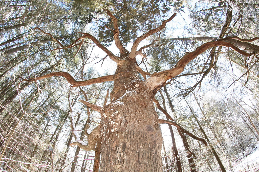 Summit TrailHikingPhoto: dddaag, CC BY 2.0 (via Flickr)0.4 mi
- Creek TrailHikingPhoto: dddaag, CC BY 2.0 (via Flickr)0.5 mi
- Firetown RoadRock climbing1.7 mi
- Crown JewelRock climbing1.8 mi
- Diamond Ledge BoulderingRock climbing2.2 mi
- Stony BrookCanoeing6.5 mi
 East Branch Farmington RiverCanoeingPhoto: John Phelan, CC BY 4.0 (via Wikimedia Commons)8.1 mi
- Summit TrailHikingPhoto: dddaag, CC BY 2.0 (via Flickr)Next door
- Creek TrailHikingPhoto: dddaag, CC BY 2.0 (via Flickr)Next door
- Meadow TrailHikingPhoto: dddaag, CC BY 2.0 (via Flickr)~2 min drive
- Werbitzkas Loop TrailHikingPhoto: dddaag, CC BY 2.0 (via Flickr)~2 min drive
 Holcomb Connector TrailHikingPhoto: Magicpiano, CC BY-SA 3.0 (via Wikimedia Commons)~2 min drive
- Refuge TrailHikingPhoto: Magicpiano, CC BY-SA 3.0 (via Wikimedia Commons)~2 min drive
- Laurel Loop TrailHikingPhoto: Magicpiano, CC BY-SA 3.0 (via Wikimedia Commons)~3 min drive
 Eddy TrailHikingPhoto: ianml, CC BY-SA 2.0 (via Flickr)~4 min drive
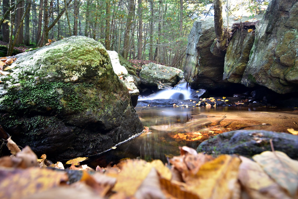 Pine Cone TrailHikingPhoto: pedrik, CC BY 2.0 (via Flickr)~5 min drive
- White TrailHikingPhoto: ianml, CC BY-SA 2.0 (via Flickr)~5 min drive
Conditions and forecast on Stony Hill
Daily highs and lows, wind and the chance of precipitation at the summit and route start for the next 7 days, from the Open-Meteo model.

Ask about this place
Questions about North Trail: conditions, access, timing. Answers say when something isn't known.
Questions about this route
How long is the North Trail on Stony Hill?
About 3.5 mi.
How much elevation gain is on the North Trail?
About 299 ft of climbing round trip.
How hard is the North Trail?
It is rated easy.
How long does the North Trail take?
About 1.5 hours round trip.
Map and trail data © OpenStreetMap contributors
