Doc Moyle's Camp
Campground
6.8 mi from the trail
 Photo: Tom Hilton, CC BY 2.0 (via Wikimedia Commons)
Merced Peak is a summit of about 11,720 feet in Madera County, California, inside Yosemite National Park and the Yosemite Wilderness. The National Park Service manages the land, and the nearest town is Yosemite Valley, about 12.5 miles away. Red Peak Pass lies about 2.8 miles away, and Rutherford Lake is about 3.1 miles off. Farther out, the Southern Yosemite climbing area is about 7.1 miles away, and Bowler campground is about 9.5 miles away.
Where it is: Yosemite Wilderness · Yosemite National Park
Near: Mammoth Lakes
Been here? Tell people how it was.
We don't know of a mapped trail or route to the summit of Merced Peak. Plan the approach with local maps, a guidebook or a local guide, and check conditions before you go.


 Triple Divide PeakSummitPhoto: LizardWizard, CC BY-SA 3.0 (via Wikimedia Commons)~2 min drive
 Gray PeakSummitPhoto: au_ears, CC BY-SA 2.0 (via Wikimedia Commons)~5 min drive
 Madera PeakSummitPhoto: Tom Hilton, CC BY 2.0 (via Wikimedia Commons)~12 min drive
 Mount Starr KingSummitPhoto: Justin.Johnsen, CC BY-SA 3.0 (via Wikimedia Commons)~14 min drive
 Moraine DomeSummitPhoto: Cybreshot, CC BY-SA 3.0 (via Wikimedia Commons)~16 min drive
 Rodgers PeakSummitPhoto: Howard Weamer, Public domain (via Wikimedia Commons)~17 min drive
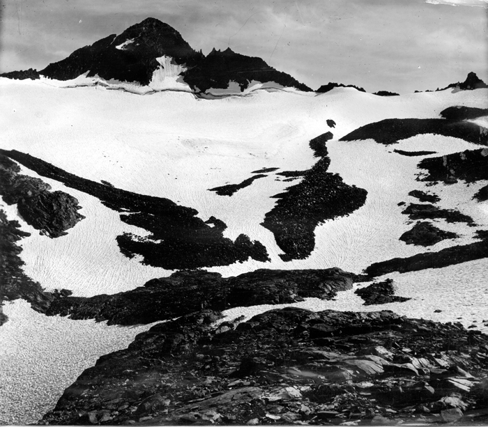 Mount MaclureSummitPhoto: Matthes, F.E., Public domain (via Wikimedia Commons)~17 min drive
 Mount LyellSummitPhoto: Ben HartshorneCropping: Hike395 (talk · contribs), Public domain (via Wikimedia Commons)~17 min drive
 Liberty CapSummitPhoto: Paxson Woelber, CC BY-SA 3.0 (via Wikimedia Commons)~17 min driveVogelsang PeakSummitPhoto: Paxson Woelber, CC BY-SA 4.0 (via Wikimedia Commons)~17 min drive
Also worth it near here
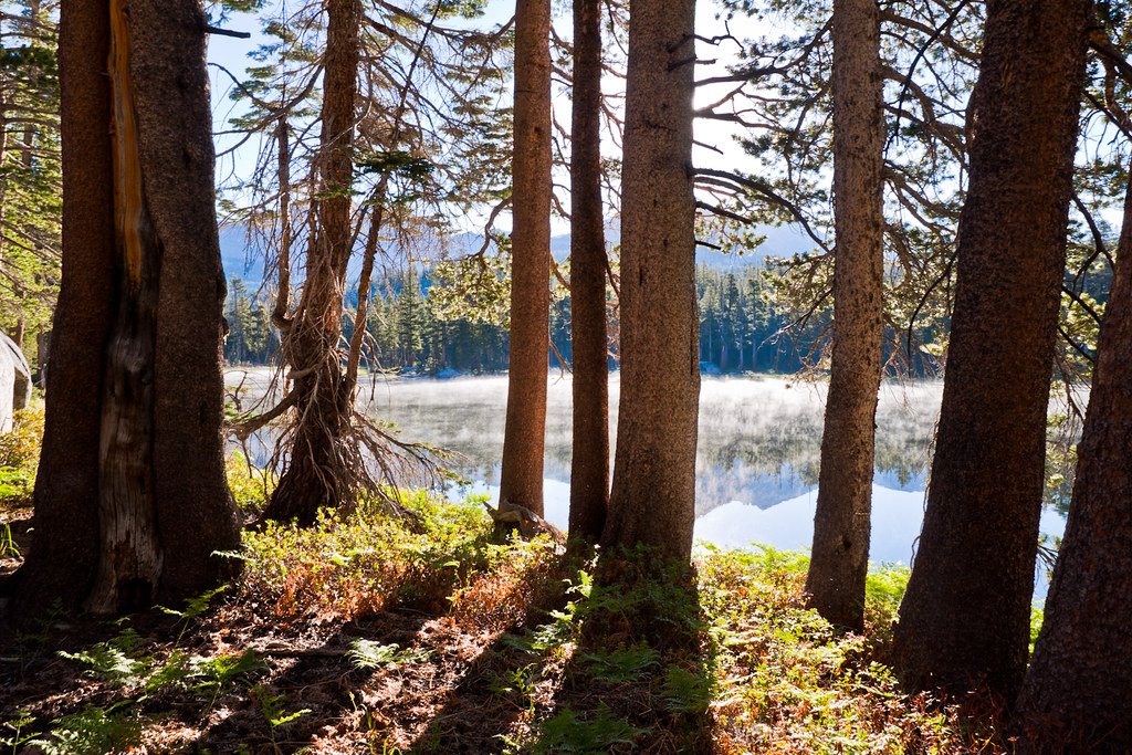 Red Peak PassHikingPhoto: Brandon.Levinger, CC BY 2.0 (via Flickr)~5 min drive
 Chittenden LakeMountain bikingPhoto: Guywelch2000, CC BY-SA 4.0 (via Wikimedia Commons)~10 min drive
 Merced RiverCanoeingPhoto: Kylir Horton from Eagle Mountain, Utah, United States, CC BY 2.0 (via Wikimedia Commons)~14 min drive
Daily highs and lows, wind and the chance of precipitation at the summit for the next 7 days, from the Open-Meteo model.
11,720 ft (3,572 m).
We don't know of a mapped trail or route to the summit. Plan the approach with local maps, a guidebook or a local guide.
Questions about Merced Peak: conditions, access, timing. Answers say when something isn't known.
Doc Moyle's Camp
Campground
Curry Village Pavillion
Fast food
 If it rainsEeekster, CC BY 3.0 · Wikimedia Commons
Sierra Point
Viewpoint
Point in Yosemite National Park at the eastern end of the valley
Places © OpenStreetMap contributors · Photos: Eeekster, CC BY 3.0 (commons)
More in Yosemite Valley