Upper Jackass Lake Campground
Campground
Campground · 0.9 mi from the trail
 Photo: Tom Hilton, CC BY 2.0 (via Wikimedia Commons)
Closure in the area
There's a closure order in Sierra National Forest. It doesn't name Madera Peak, so check the source for the area it covers (3 listed).
Safety Tips for Burned Areas: Garnet Fire Area
Agency closure covering Sierra National Forest · USFS · Sierra National Forest
Wilderness Food and Refuse Storage
Agency closure covering Sierra National Forest · Order 05-15-00-26-03 · USFS · Sierra National Forest
Food and Refuse Storage
Agency closure covering Sierra National Forest · Order 05-15-00-26-02 · USFS · Sierra National Forest
Forest Order removes Fish Camp, Soda Springs, and Little Jackass from closure list
Agency alert covering Sierra National Forest · Order 05-15-00-26-11 · USFS · Sierra National Forest
Ansel Adams and John Muir Wilderness Campfire Restrictions
Agency alert covering Sierra National Forest · Order 05-15-00-26-09 · USFS · Sierra National Forest
As of · Source: USFS · Sierra National Forest. Agencies don't list every closure — check before you go.
Madera Peak is a 10,511-foot summit in Madera County, California, inside the Ansel Adams Wilderness. It falls within the Bass Lake Ranger District of the Sierra National Forest, which the Forest Service manages, and the nearest town is Wawona, about 14.5 miles away. Lady Lake and Chittenden Lake sit just over a mile from the peak. Upper Chiquito and Bowler campgrounds are a little over 3 miles away.
Upper Jackass Lake Campground
Campground
Jackalopes Bar & Grill
Restaurant
 If it rainsEeekster, CC BY 3.0 · Wikimedia Commons
Sierra Point
Viewpoint
Point in Yosemite National Park at the eastern end of the valley
Places © OpenStreetMap contributors · Photos: Eeekster, CC BY 3.0 (commons)
More in Yosemite ValleyDaily highs and lows, wind and the chance of precipitation at the summit for the next 7 days, from the Open-Meteo model.
Elevation from USGS 3D Elevation Program terrain data (about 10 m resolution).
We don't know of a mapped trail or route to the summit of Madera Peak. Plan the approach with local maps, a guidebook or a local guide, and check conditions before you go.
10,511 ft (3,204 m).
We don't know of a mapped trail or route to the summit. Plan the approach with local maps, a guidebook or a local guide.

 Lady LakeMountain bikingPhoto: Guywelch2000, CC BY-SA 4.0 (via Wikimedia Commons)1.1 miChittenden LakeMountain bikingPhoto: Guywelch2000, CC BY-SA 4.0 (via Wikimedia Commons)1.3 mi
Source: Roamze catalog (indexable pages within 10 miles, PostGIS distance)
 Triple Divide PeakSummit · ~11 min drivePhoto: LizardWizard, CC BY-SA 3.0 (via Wikimedia Commons)
 Merced PeakSummit · ~12 min drivePhoto: Tom Hilton, CC BY 2.0 (via Wikimedia Commons)
 Gray PeakSummit · ~17 min drivePhoto: au_ears, CC BY-SA 2.0 (via Wikimedia Commons)Fresno DomeSummit · ~18 min drivePhoto: Guy William Welch (talk · contribs), Public domain (via Wikimedia Commons)
 Mount ClarkSummit · ~19 min drivePhoto: Justin Johnsen, CC BY-SA 4.0 (via Wikimedia Commons)
 Mount Starr KingSummit · ~24 min drivePhoto: Justin.Johnsen, CC BY-SA 3.0 (via Wikimedia Commons)
 MinaretsSummit · ~24 min drivePhoto: US National Park Service, Public domain (via Wikimedia Commons)
 Mount RitterSummit · ~24 min drivePhoto: Mel, CC BY-SA 2.0 (via Wikimedia Commons)
 Rodgers PeakSummit · ~25 min drivePhoto: Howard Weamer, Public domain (via Wikimedia Commons)
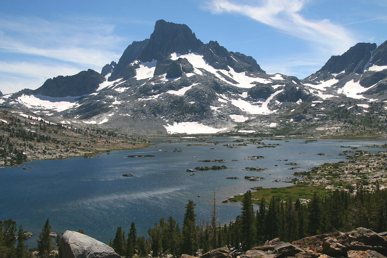 Banner PeakSummit · ~25 min drivePhoto: Dcrjsr (talk · contribs), CC BY 3.0 (via Wikimedia Commons)
