Vogelsang High Sierra Camp
Campground
Campground · 1.3 mi from the trail
 Photo: Paxson Woelber, CC BY-SA 4.0 (via Wikimedia Commons)
Closure in the area
There's a closure order in Yosemite National Park. It doesn't name Vogelsang Peak, so check the source for the area it covers (3 listed).
Big Oak Flat Road will close Nov 18 at 8 am
Park closure covering Yosemite National Park · NPS · Yosemite National Park
Campgrounds and Curry Village tent cabins are closed due to a winter storm
Park closure covering Yosemite National Park · NPS · Yosemite National Park
Tioga and Glacier Point Roads are closed due snow
Park closure covering Yosemite National Park · NPS · Yosemite National Park
As of · Source: NPS · Yosemite National Park. Agencies don't list every closure — check before you go.
Vogelsang Peak is a summit in the Yosemite Wilderness within Yosemite National Park, managed by the National Park Service. The nearest community is Yosemite Valley, about 13 miles away, and the peak sits deep in the park's wilderness rather than beside a road. Hikers aiming for the top can start with the Vogelsang Peak Route, which lies about half a mile from the summit. Two other trails are close by: the Bernice Lake Trail, about 0.7 mile away, and the Evelyn Lake Trail, roughly 1.3 miles off. Tuolumne Meadows Campground, about 6.5 miles away, is the nearest listed place to camp.
Vogelsang High Sierra Camp
Campground
Curry Village Pavillion
Fast food
 If it rainsEeekster, CC BY 3.0 · Wikimedia Commons
Sierra Point
Viewpoint
Point in Yosemite National Park at the eastern end of the valley
Places © OpenStreetMap contributors · Photos: Eeekster, CC BY 3.0 (commons)
More in Yosemite ValleyDaily highs and lows, wind and the chance of precipitation at the summit and route start for the next 7 days, from the Open-Meteo model.
Elevation from USGS 3D Elevation Program terrain data (about 10 m resolution).
11,504 ft (3,506 m).
One: Vogelsang Peak Route.


 Vogelsang Peak RouteHikingPhoto: Doug Letterman, CC BY 2.0 (via Flickr)0.5 mi
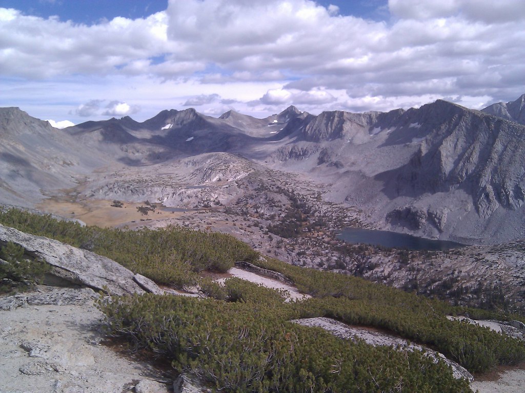 Bernice Lake TrailHikingPhoto: MarkDoliner, CC BY-SA 2.0 (via Flickr)0.7 mi
 Evelyn Lake TrailHikingPhoto: swat671, CC BY-SA 2.0 (via Flickr)1.3 mi
 Cathedral RangeRock climbingPhoto: Doug Olson, CC BY-SA 3.0 (via Wikimedia Commons)4 mi
 CockscombRock climbingPhoto: Tom Hilton, CC BY 2.0 (via Flickr)4.5 mi
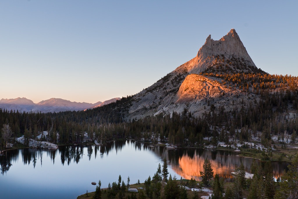 Upper Cathedral Lakes, South Shore ButtressRock climbingPhoto: Brandon.Levinger, CC BY 2.0 (via Flickr)5.6 mi
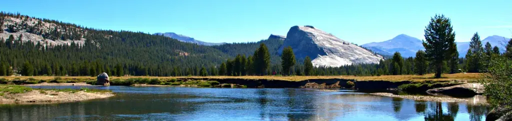 Tuolumne Meadows CampgroundCampingPhoto: Recreation.gov (RIDB) / public domain6.5 mi
 Merced RiverCanoeingPhoto: Kylir Horton from Eagle Mountain, Utah, United States, CC BY 2.0 (via Wikimedia Commons)9.9 mi
Source: Roamze catalog (indexable pages within 10 miles, PostGIS distance)
 Johnson PeakSummit · ~7 min drivePhoto: inkknife_2000 (7.5 million views +), CC BY-SA 2.0 (via Wikimedia Commons)
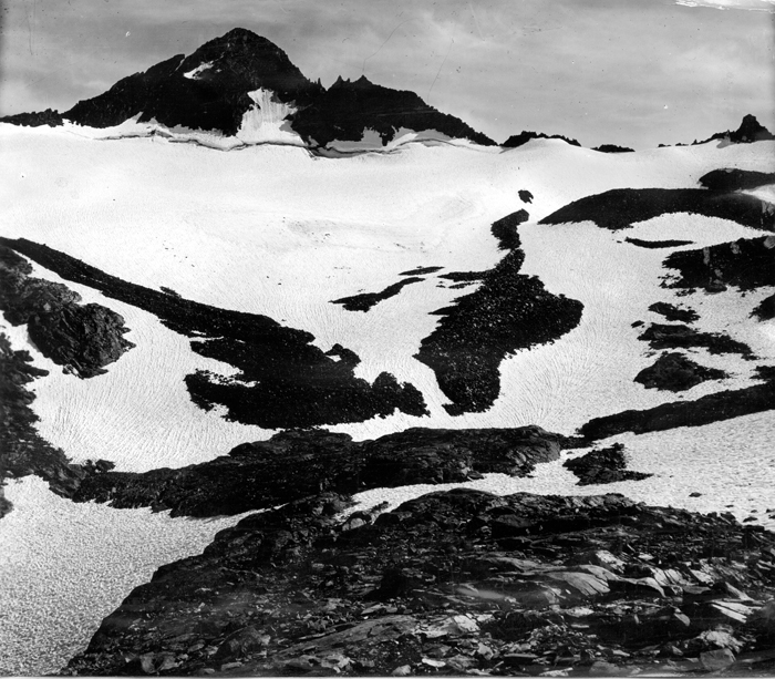 Mount MaclureSummit · ~8 min drivePhoto: Matthes, F.E., Public domain (via Wikimedia Commons)
 Echo PeaksSummit · ~8 min drivePhoto: Jeffrey Pang from Berkeley, CA, USA, CC BY 2.0 (via Wikimedia Commons)
 Unicorn PeakSummit · ~9 min drivePhoto: Jarek Tuszyński, CC BY 4.0 (via Wikimedia Commons)
 Mount LyellSummit · ~9 min drivePhoto: Ben HartshorneCropping: Hike395 (talk · contribs), Public domain (via Wikimedia Commons)
 Tresidder PeakSummit · ~9 min drivePhoto: Jarek Tuszyński, CC BY 4.0 (via Wikimedia Commons)
 Cathedral PeakSummit · ~10 min drivePhoto: Frank Kovalchek from Anchorage, Alaska, USA, CC BY 2.0 (via Wikimedia Commons)
 Rodgers PeakSummit · ~11 min drivePhoto: Howard Weamer, Public domain (via Wikimedia Commons)
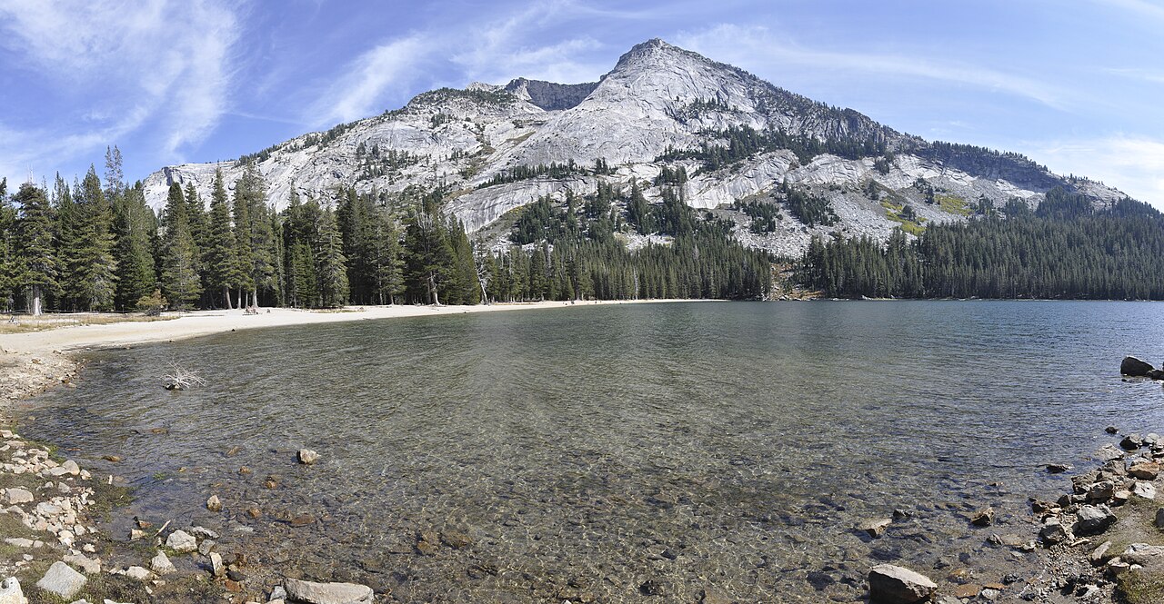 Tenaya PeakSummit · ~11 min drivePhoto: Jarek Tuszyński, CC BY 4.0 (via Wikimedia Commons)
 Donohue PeakSummit · ~11 min drivePhoto: HikingMike, CC BY 2.0 (via Wikimedia Commons)
Also worth it near here
Vogelsang Peak RouteHiking · Next doorPhoto: Doug Letterman, CC BY 2.0 (via Flickr) Vogelsang High Sierra CampCamping · ~2 min drivePhoto: Diarrhea, CC BY 3.0 (via Wikimedia Commons)Cathedral RangeRock climbing · ~7 min drivePhoto: Doug Olson, CC BY-SA 3.0 (via Wikimedia Commons)
