Liberty Cap
Liberty Cap in California has 14 routes across 8 grades, featuring mixed and trad climbing.
- 14 routes
- 5.8 – 5.12b
- Mixed · Trad
Is Liberty Cap open right now?
No closures listed
The National Park Service lists no closures for Yosemite National Park.
As of · Source: NPS · Yosemite National Park. Agencies don't list every closure — check before you go.
Best time to visit Liberty Cap
Best months: May–October. Best months have typical highs of 55–85 °F, lows of 30 °F or warmer (32 °F where the station doesn't record snow), at most one snowy day and no more than 12 wet days.
Jan
44° / 32°
10 wet
Feb
42° / 31°
9 wet
Mar
45° / 32°
10 wet
Apr
49° / 36°
8 wet
May
58° / 43°
7 wet
Jun
67° / 52°
3 wet
Jul
75° / 60°
1 wet
Aug
75° / 59°
1 wet
Sep
70° / 54°
2 wet
Oct
60° / 46°
4 wet
Nov
49° / 37°
7 wet
Dec
43° / 32°
9 wet
Typical high / low (°F) and days with rain or snow, 1991–2020. Measured at Yosemite Village 12 W, CA, 15.9 mi away at 6,620 ft. This station doesn't record snowfall. Source: NOAA NCEI U.S. Climate Normals 1991–2020.
Liberty Cap is a climbing area in Yosemite National Park's Yosemite Wilderness in California, managed by the National Park Service. It sits within the park's backcountry, and a fee is charged to visit. The area offers a range of routes, with 14 in total, including both mixed and traditional styles. Grades run from about 5.8 to 5.12+, with a median of 5.10b. Some of the named routes are Bad Moon Rising at 5.8, Stiff Upper Lip at 5.9, Passport to the Sky at 5.11, and Mahtah at 5.12+. Summer is the most comfortable time to climb. At a nearby weather station, typical July and August highs average 75°F, with only about one wet day a month. Winter is much colder, with typical January highs around 44°F. The John Muir Trail and Mist Trail both pass about 0.4 miles away, and the Southwest Face and Valley South Side climbing areas are about 0.9 miles off. North Pines Campground lies about 2 miles away.
Routes (14)
Facts about this crag
Keep exploring — more climbs worth the drive
 Photo: SymphonicPoet, CC BY 2.0 (via Flickr)
Southwest Face
~2 min drive
Southwest Face in California has 6 trad climbing routes on 6 difficulty grades.
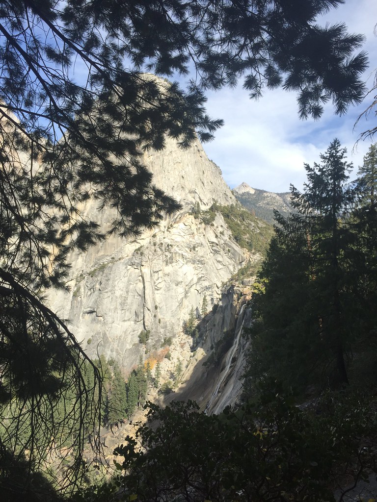 Photo: bensondoc, CC BY-SA 2.0 (via Flickr)
Valley South Side
~2 min drive
Valley South Side in California has 22 climbing routes with mixed and trad protection.
 Photo: Seth Tisue, CC BY-SA 2.0 (via Flickr)
Mist Trail Boulders
~2 min drive
6 bouldering routes in California spanning 5 grades.
Photo: SymphonicPoet, CC BY 2.0 (via Flickr)Half Dome
~2 min drive
Half Dome in California has 5 trad climbing routes across 5 difficulty grades.
 Photo: mlcastle, CC BY-SA 2.0 (via Flickr)
Strange Energy Area
~3 min drive
Strange Energy Area in California has 7 climbing routes with 5 difficulty grades, offering mixed, sport, and trad styles.
 Photo: Gary, CC BY-SA 2.0 (via Wikimedia Commons)
Jericho Wall
~3 min drive
Jericho Wall in California has 6 climbing routes across 4 grades, offering mixed and traditional styles.
 Photo: Moo.The.Cow, CC BY 2.0 (via Flickr)
Monday Morning Slab
~3 min drive
Monday Morning Slab in California has 6 climbing routes with mixed and trad styles.
 Photo: lamblukas, CC BY 2.0 (via Flickr)
Washington Column
~3 min drive
Washington Column in California has 13 climbing routes across 7 grades.
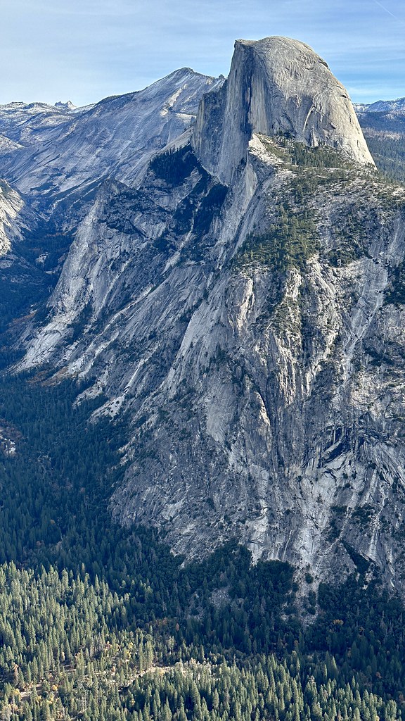 Photo: lamblukas, CC BY 2.0 (via Flickr)
GPA - Right Side
~3 min drive
GPA - Right Side in California has 22 routes across 13 grades, offering mixed and traditional climbing.
 Photo: lewinb, CC BY-SA 2.0 (via Flickr)
Royal Arches Area
~4 min drive
Royal Arches Area in California has 2 climbing routes with mixed protection.
Also worth it near here
 Photo: Paxson Woelber, CC BY-SA 3.0 (via Wikimedia Commons)
Liberty Cap
~0 min drive
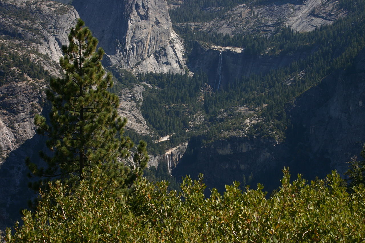 Photo: self, Public domain (via Wikimedia Commons)
Nevada Fall
~0 min drive
 Photo: Richard Wood, CC BY-SA 3.0 (via Wikimedia Commons)
John Muir Trail
~1 min drive
 Photo: dbaron — CC BY-SA 2.0 (via Flickr)
Little Yosemite Valley Campground
~2 min drive
