Little Yosemite Valley Campground
Campground
Campground · 3.9 mi from the trail
Clear today
Weather is good · OpenWeather · checked just now
Closure in the area
There's a closure order in Yosemite National Park. It doesn't name Illilouette Creek, so check the source for the area it covers (3 listed).
Big Oak Flat Road will close Nov 18 at 8 am
Park closure covering Yosemite National Park · NPS · Yosemite National Park
Campgrounds and Curry Village tent cabins are closed due to a winter storm
Park closure covering Yosemite National Park · NPS · Yosemite National Park
Tioga and Glacier Point Roads are closed due snow
Park closure covering Yosemite National Park · NPS · Yosemite National Park
As of · Source: NPS · Yosemite National Park. Agencies don't list every closure — check before you go.
Illilouette Creek is a paddling route in Yosemite National Park, California, within the Yosemite Wilderness. The National Park Service manages the land, and the nearest town is Tuolumne Meadows, about 17 miles away. The most comfortable time to paddle is summer. Typical averages from a nearby weather station show July highs around 71°F with lows near 38°F, while winter highs stay in the low 40s and lows drop to about 12°F. A fee is charged for this paddling spot. The Merced Pass Trail lies just 0.7 miles away, and the Merced River is about 2.3 miles off. Climbers can head to Southern Yosemite, about 1.5 miles away, and hikers to the John Muir Trail, roughly 3.4 miles away.
Little Yosemite Valley Campground
Campground
Curry Village Pavillion
Fast food
 If it rainsEeekster, CC BY 3.0 · Wikimedia Commons
Sierra Point
Viewpoint
Point in Yosemite National Park at the eastern end of the valley
Places © OpenStreetMap contributors · Photos: Eeekster, CC BY 3.0 (commons)
More in Yosemite Valley Merced Pass TrailHikingPhoto: Justin.Johnsen, CC BY-SA 3.0 (via Wikimedia Commons)0.7 mi
 Merced RiverCanoeingPhoto: Kylir Horton from Eagle Mountain, Utah, United States, CC BY 2.0 (via Wikimedia Commons)2.3 mi
 John Muir TrailHikingPhoto: Richard Wood, CC BY-SA 3.0 (via Wikimedia Commons)3.4 mi
 Panorama TrailHikingPhoto: Richard Wood, CC BY-SA 3.0 (via Wikimedia Commons)3.6 mi
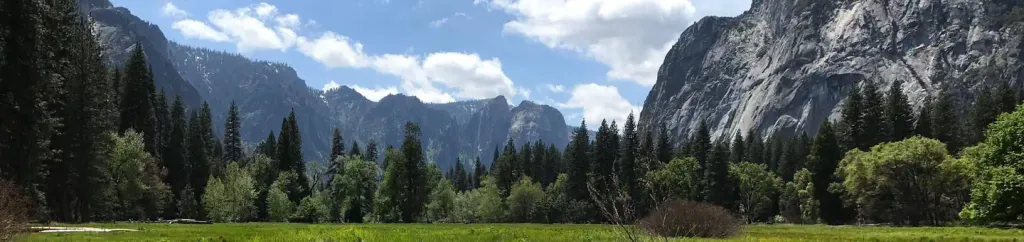 Lower Pines CampgroundCampingPhoto: Recreation.gov (RIDB) / public domain5.3 mi
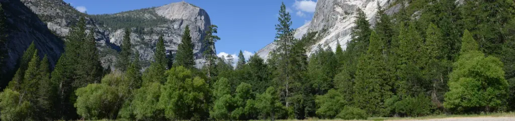 North Pines CampgroundCampingPhoto: Recreation.gov (RIDB) / public domain5.4 mi
Source: Roamze catalog (indexable pages within 10 miles, PostGIS distance)
Merced RiverCanoeing · ~4 min drivePhoto: Kylir Horton from Eagle Mountain, Utah, United States, CC BY 2.0 (via Wikimedia Commons) South Fork Tuolumne RiverCanoeing · ~39 min drivePhoto: Eeekster, CC BY 3.0 (via Wikimedia Commons)
 Rush CreekCanoeing · ~42 min drivePhoto: Greg Reis, CC BY-SA 3.0 (via Wikimedia Commons)
 Fresno RiverCanoeing · ~52 min drivePhoto: California High-Speed Rail Authority, Public domain (via Wikimedia Commons)
Also worth it near here
Merced Pass TrailHiking · ~1 min drivePhoto: Justin.Johnsen, CC BY-SA 3.0 (via Wikimedia Commons) Mount Starr KingSummit · ~3 min drivePhoto: Justin.Johnsen, CC BY-SA 3.0 (via Wikimedia Commons)
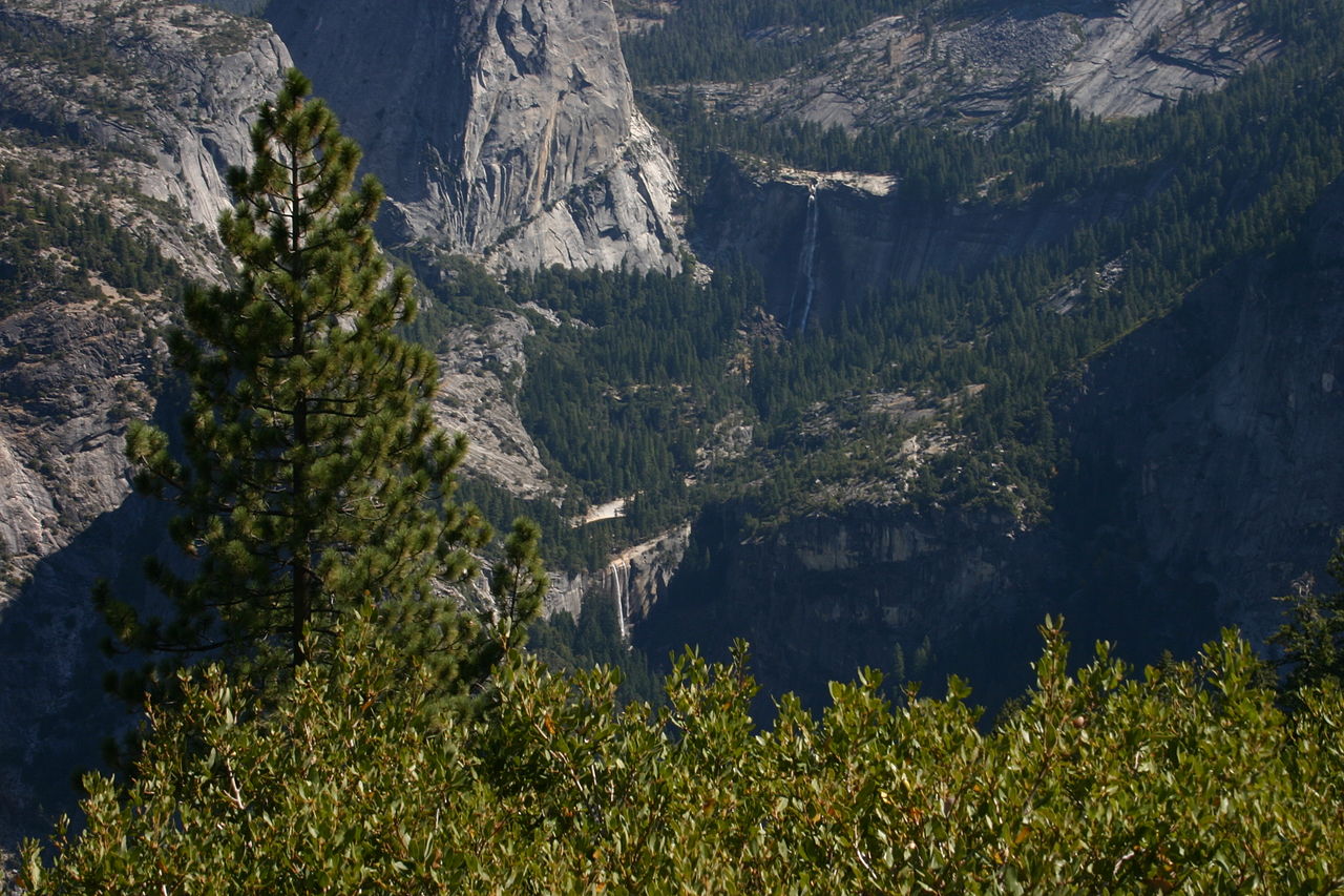 Nevada FallWaterfall · ~6 min drivePhoto: self, Public domain (via Wikimedia Commons)
 Little Yosemite Valley CampgroundCamping · ~7 min drivePhoto: dbaron — CC BY-SA 2.0 (via Flickr)
Best months: June–September. Best months have typical highs of 55–85 °F, lows of 30 °F or warmer (32 °F where the station doesn't record snow), at most one snowy day and no more than 12 wet days.
Jan
41° / 13°
Feb
38° / 12°
Mar
42° / 15°
Apr
45° / 22°
May
54° / 27°
Jun
65° / 33°
Jul
71° / 38°
Aug
70° / 36°
Sep
65° / 32°
Oct
57° / 26°
Nov
47° / 20°
Dec
40° / 12°
Typical high / low (°F) and days with rain or snow, 1991–2020. Measured at Tuolumne Meadows Rs, CA, 16.7 mi away at 8,694 ft. This station doesn't record snowfall. Source: NOAA NCEI U.S. Climate Normals 1991–2020.
