Quartz Mountain
Campground
Campground · 6.5 mi from the trail
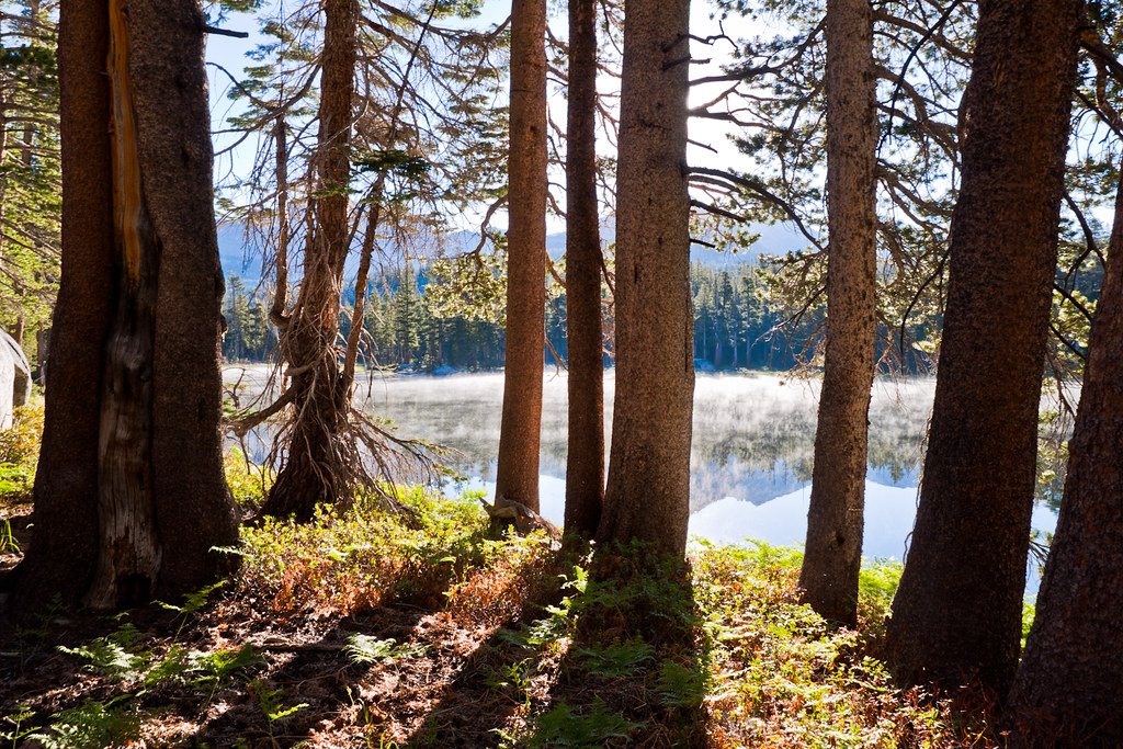 Photo: Brandon.Levinger, CC BY 2.0 (via Flickr)
Closure in the area
There's a closure order in Yosemite National Park. It doesn't name Red Peak Pass, so check the source for the area it covers (3 listed).
Big Oak Flat Road (continuation of Hwy 120 from the west) is closed
Park closure covering Yosemite National Park · NPS · Yosemite National Park
Campgrounds and Curry Village tent cabins are closed due to a winter storm
Park closure covering Yosemite National Park · NPS · Yosemite National Park
Tioga and Glacier Point Roads are closed due snow
Park closure covering Yosemite National Park · NPS · Yosemite National Park
As of · Source: NPS · Yosemite National Park. Agencies don't list every closure — check before you go.
Red Peak Pass is a hard hike in Yosemite National Park, within the Yosemite Wilderness, managed by the National Park Service. The trail is an out-and-back that climbs from about 8,930 feet to about 11,140 feet, with a total elevation gain of about 2,629 feet over roughly 22.7 miles. The pass sits in the high country of the park's wilderness, so plan on a long day. The route rises steadily through the pass's heart, with the high point near 11,140 feet. Several other destinations lie within easy reach. Fernandez Pass and the California Riding and Hiking Trail are both about 4 miles away. Illilouette Creek offers paddling about 5 miles out, and the Merced River is about 7 miles away.
Quartz Mountain
Campground
Curry Village Pavillion
Fast food
 If it rainsEeekster, CC BY 3.0 · Wikimedia Commons
Sierra Point
Viewpoint
Point in Yosemite National Park at the eastern end of the valley
Places © OpenStreetMap contributors · Photos: Eeekster, CC BY 3.0 (commons)
More in Yosemite ValleyNot on Roamze yet. Their page has how to reach them.
 Merced RiverCanoeingPhoto: Kylir Horton from Eagle Mountain, Utah, United States, CC BY 2.0 (via Wikimedia Commons)6.8 mi
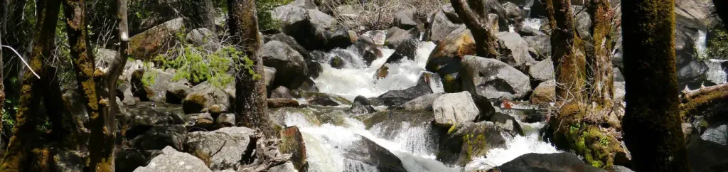 Bridalveil Creek CampgroundCampingPhoto: Recreation.gov (RIDB) / public domain10 mi
Source: Roamze catalog (indexable pages within 10 miles, PostGIS distance)
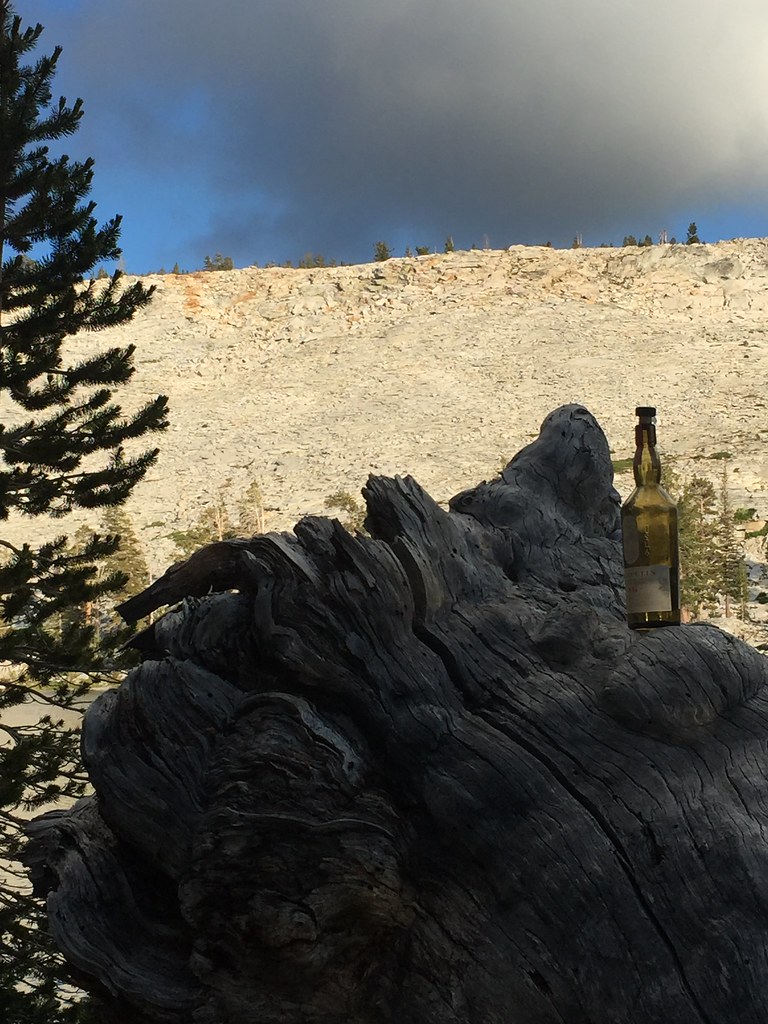 Buena Vista TrailHiking · ~8 min drivePhoto: aballant38, CC BY 2.0 (via Flickr)
 Isberg PassHiking · ~11 min drivePhoto: Charkrem, CC BY 2.0 (via Flickr)
 Ostrander Lake TrailHiking · ~15 min drivePhoto: Allie_Caulfield, CC BY 2.0 (via Flickr)
 Merced Pass TrailHiking · ~10 min drivePhoto: Justin.Johnsen, CC BY-SA 3.0 (via Wikimedia Commons)
 Post Peak PassHiking · ~11 min drivePhoto: Jason Hollinger, CC BY 2.0 (via Wikimedia Commons)
 Half Dome TrailHiking · ~15 min drivePhoto: Richard Wood, CC BY-SA 3.0 (via Wikimedia Commons)
 John Muir TrailHiking · ~14 min drivePhoto: Richard Wood, CC BY-SA 3.0 (via Wikimedia Commons)
Also worth it near here
 Merced PeakSummit · ~5 min drivePhoto: Tom Hilton, CC BY 2.0 (via Wikimedia Commons)
 Chittenden LakeMountain biking · ~11 min drivePhoto: Guywelch2000, CC BY-SA 4.0 (via Wikimedia Commons)Merced RiverCanoeing · ~12 min drivePhoto: Kylir Horton from Eagle Mountain, Utah, United States, CC BY 2.0 (via Wikimedia Commons)
