Cottonwood Campground
Campground
1.1 mi from the trail
Mastodon Peak is a summit of 3,427 feet in Joshua Tree National Park, within the Joshua Tree Wilderness in California. The nearest town is North Shore, about 16.5 miles away. Spring and fall are the most comfortable times to visit. Typical averages from the nearby Twentynine Palms weather station show March highs around 74°F and November highs around 72°F, while July highs average about 104°F. That station sits well below the peak, so temperatures on top run cooler. The Mastodon Mine Loop Trail starts just 0.2 miles away, and Cottonwood Spring is 0.7 miles off. Pinto Basin, a climbing area, is about 1.1 miles away, and Cottonwood Group campground is about 1.8 miles away.
Where it is: Joshua Tree Wilderness · Joshua Tree National Park
Near: Coachella
Best months: October–April. Best months have typical highs of 55–85 °F, lows of 30 °F or warmer (32 °F where the station doesn't record snow), at most one snowy day and no more than 12 wet days.
Jan
63°
42°
3 wet
Feb
67°
44°
3 wet
Mar
74°
49°
2 wet
Apr
81°
55°
1 wet
May
90°
63°
1 wet
Jun
99°
71°
0 wet
Jul
104°
77°
2 wet
Aug
103°
76°
2 wet
Sep
96°
69°
2 wet
Oct
85°
58°
1 wet
Nov
72°
47°
1 wet
Dec
62°
40°
2 wet
Typical high / low (°F) and days with rain or snow, 1991–2020. Measured at Twentynine Palms, CA, 30.4 mi away at 1,975 ft. The station sits about 1,500 ft lower than this place, so expect it a little cooler here. This station doesn't record snowfall. Source: NOAA NCEI U.S. Climate Normals 1991–2020.
Been here? Tell people how it was.

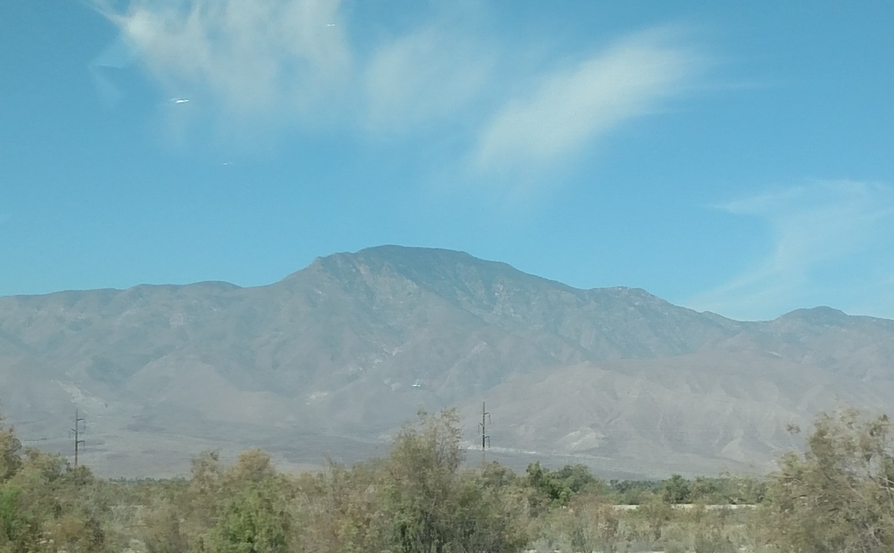
 Mastodon Mine Loop TrailHikingPhoto: daveynin, CC BY 2.0 (via Flickr)0.2 mi
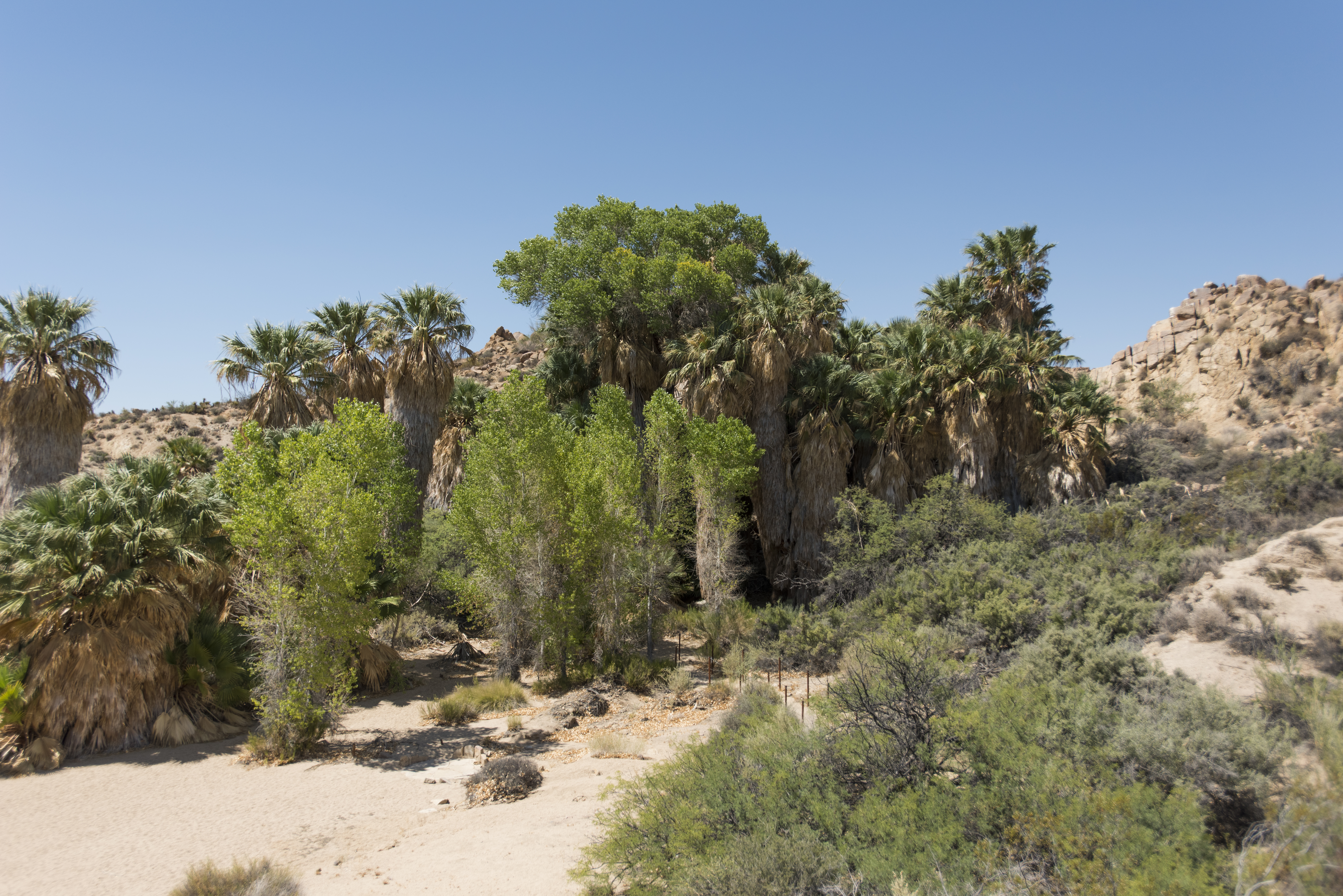 Cottonwood SpringHikingPhoto: NPS / Brad Sutton0.7 mi
 Pinto BasinRock climbingPhoto: aboutmytripdotcom, CC BY 2.0 (via Flickr)1.1 mi
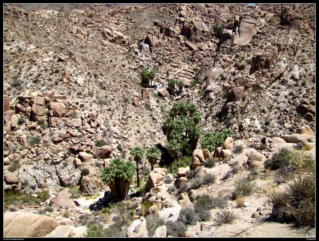 Lost Palms Oasis TrailHikingPhoto: ondraposp, CC BY-SA 2.0 (via Flickr)1.7 mi
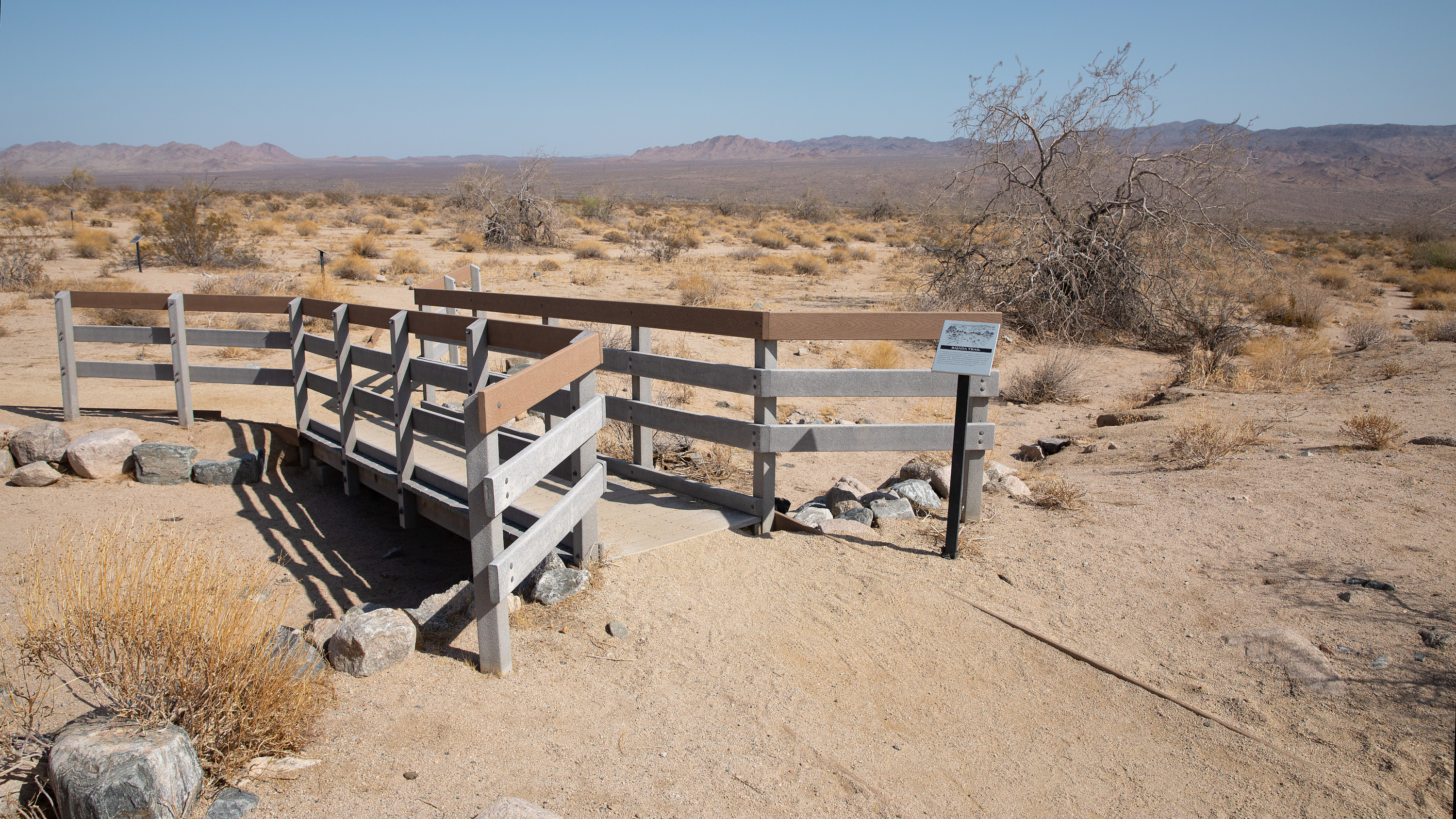 Bajada TrailheadHikingPhoto: NPS / Preston Jordan Jr.3.7 miWildflowers (Bajada Nature Trail)HikingPhoto: NPS / Preston Jordan Jr.3.7 mi
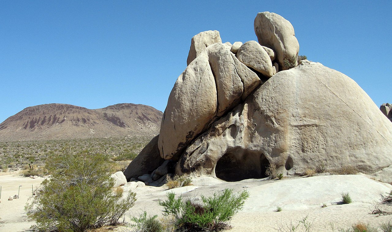 Malapai HillSummitPhoto: Joshua Tree National Park, Public domain (via Wikimedia Commons)~37 min driveRyan MountainSummitPhoto: Joshua Tree National Park, Public domain (via Wikimedia Commons)~44 min drive
 Keys ViewSummitPhoto: Farragutful, CC BY-SA 4.0 (via Wikimedia Commons)~44 min drive
 Quail MountainSummitPhoto: DouglasBear at English Wikipedia, Public domain (via Wikimedia Commons)~54 min driveRabbit PeakSummitPhoto: 5K-VX, CC BY-SA 4.0 (via Wikimedia Commons)~56 min drive
 Toro PeakSummitPhoto: Tylerfinvold at English Wikipedia, Public domain (via Wikimedia Commons)~1h 7m drive
 Coyote MountainSummitPhoto: Florian Boyd from Palm Springs, USA, CC BY-SA 2.0 (via Wikimedia Commons)~1h 10m drive
Also worth it near here
Mastodon Mine Loop TrailHikingPhoto: daveynin, CC BY 2.0 (via Flickr)Next door Cottonwood CampgroundCampingPhoto: Robb Hannawacker, while working for Joshua Tree National Park, Public domain (via Wikimedia Commons)~2 min drivePinto BasinRock climbingPhoto: aboutmytripdotcom, CC BY 2.0 (via Flickr)~2 min drive
Daily highs and lows, wind and the chance of precipitation at the summit and route start for the next 7 days, from the Open-Meteo model.
3,427 ft (1,045 m).
One: Mastodon Mine Loop Trail.
Questions about Mastodon Peak: conditions, access, timing. Answers say when something isn't known.
Cottonwood Campground
Campground
Mariscos el ranchito
Restaurant
General George S. Patton Museum
Museum
Places © OpenStreetMap contributors, Places © Overture Maps Foundation
More in Coachella