Cottonwood Campground
Campground
Campground · 1.1 mi from the trail
 Photo: daveynin, CC BY 2.0 (via Flickr)
Alert in the area
The National Park Service lists 2 alerts for Joshua Tree National Park.
Inaccurate Third-Party Apps
Park alert covering Joshua Tree National Park · NPS · Joshua Tree National Park
Oasis of Mara Trail Partial Closure
Park alert covering Joshua Tree National Park · NPS · Joshua Tree National Park
As of · Source: NPS · Joshua Tree National Park. Agencies don't list every closure — check before you go.
Mastodon Mine Loop Trail is a 2-mile hike in Joshua Tree National Park, within the Joshua Tree Wilderness in California, managed by the National Park Service. The trail rises about 500 feet from a low point of 2,972 feet to a high of 3,362 feet, and it is rated easy. Spring and fall are the most comfortable times to go. Typical averages from a nearby weather station in Twentynine Palms show March highs around 74°F and October highs around 85°F, while July averages climb to about 104°F. That station sits roughly 1,400 feet lower than the trail, so temperatures on the loop run cooler. The hike takes about an hour. Cottonwood Spring is 0.7 miles away, and Pinto Basin, a climbing area, is 0.9 miles off. Lost Palms Oasis Trail lies about 1.7 miles away, and Cottonwood Group campground is 1.9 miles away.
Cottonwood Campground
Campground
Mariscos el ranchito
Restaurant
General George S. Patton Museum
Museum
Places © OpenStreetMap contributors, Places © Overture Maps Foundation
More in CoachellaNot on Roamze yet. Their page has how to reach them.
Daily highs and lows, wind and the chance of precipitation at the summit and route start for the next 7 days, from the Open-Meteo model.
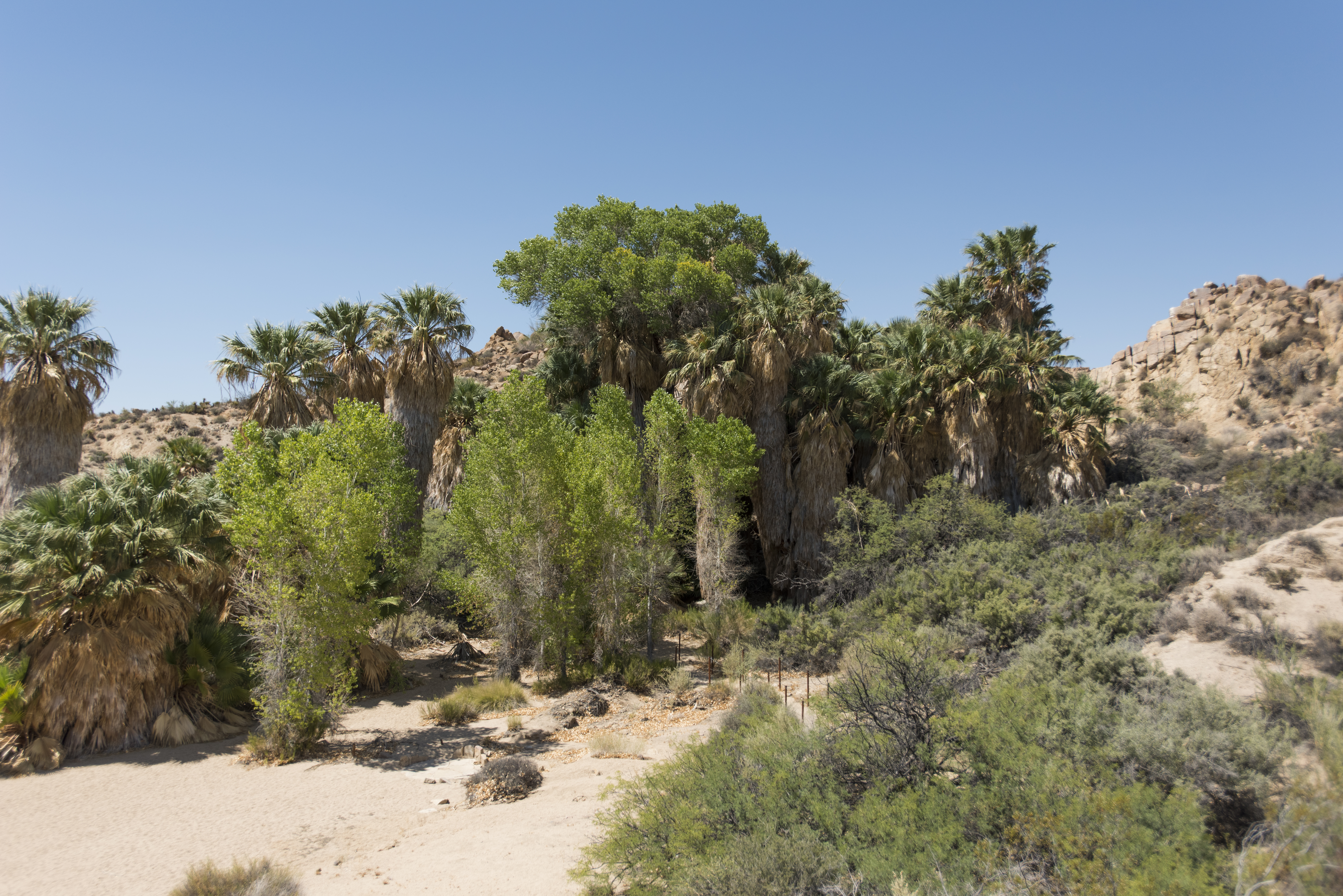 Cottonwood SpringHikingPhoto: NPS / Brad Sutton0.7 mi
 Pinto BasinRock climbingPhoto: aboutmytripdotcom, CC BY 2.0 (via Flickr)0.9 mi
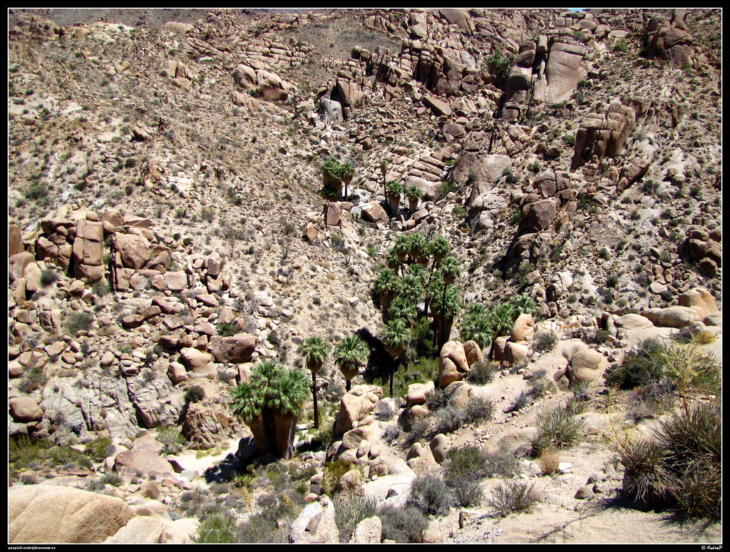 Lost Palms Oasis TrailHikingPhoto: ondraposp, CC BY-SA 2.0 (via Flickr)1.7 mi
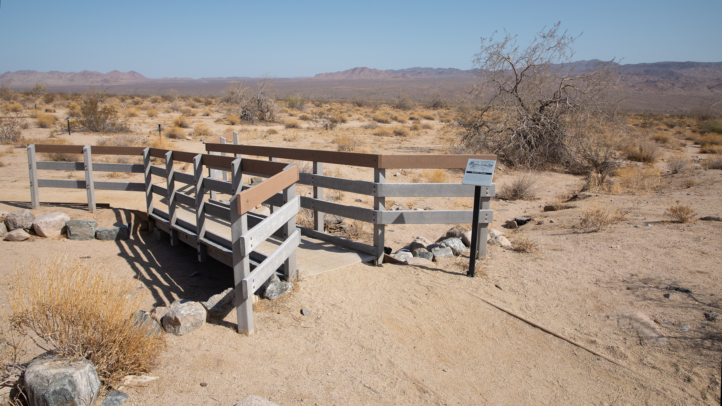 Bajada TrailheadHikingPhoto: NPS / Preston Jordan Jr.3.5 miWildflowers (Bajada Nature Trail)HikingPhoto: NPS / Preston Jordan Jr.3.5 mi
Source: Roamze catalog (indexable pages within 10 miles, PostGIS distance)
Lost Palms Oasis TrailHiking · ~3 min drivePhoto: ondraposp, CC BY-SA 2.0 (via Flickr) RidgeHiking · ~22 min drivePhoto: GSEC, CC BY 2.0 (via Flickr)
 Lost Palms Oasis TrailHiking · ~5 min drivePhoto: jimmyharris, CC BY 2.0 (via Flickr)
 Hexehedron Main TrailHiking · ~31 min drivePhoto: inkknife_2000 (7.5 million views +), CC BY-SA 2.0 (via Wikimedia Commons)
 Paac Kü̱vü̱hü̱’k TrailHiking · ~35 min drivePhoto: inkknife_2000 (7.5 million views +), CC BY-SA 2.0 (via Wikimedia Commons)
Also worth it near here
Pinto BasinRock climbing · ~2 min drivePhoto: aboutmytripdotcom, CC BY 2.0 (via Flickr) Cottonwood CampgroundCamping · ~2 min drivePhoto: Robb Hannawacker, while working for Joshua Tree National Park, Public domain (via Wikimedia Commons)
Best months: October–April. Best months have typical highs of 55–85 °F, lows of 30 °F or warmer (32 °F where the station doesn't record snow), at most one snowy day and no more than 12 wet days.
Jan
63° / 42°
3 wet
Feb
67° / 44°
3 wet
Mar
74° / 49°
2 wet
Apr
81° / 55°
1 wet
May
90° / 63°
1 wet
Jun
99° / 71°
0 wet
Jul
104° / 77°
2 wet
Aug
103° / 76°
2 wet
Sep
96° / 69°
2 wet
Oct
85° / 58°
1 wet
Nov
72° / 47°
1 wet
Dec
62° / 40°
2 wet
Typical high / low (°F) and days with rain or snow, 1991–2020. Measured at Twentynine Palms, CA, 30.5 mi away at 1,975 ft. The station sits about 1,400 ft lower than this place, so expect it a little cooler here. This station doesn't record snowfall. Source: NOAA NCEI U.S. Climate Normals 1991–2020.
About 2.0 mi.
About 500 ft of climbing round trip.
It is rated easy.
About 1 hour round trip.
Map and trail data © OpenStreetMap contributors
